
MyTopo
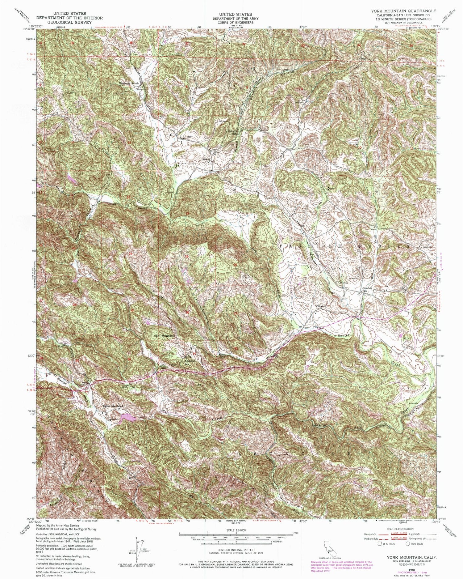
Classic USGS York Mountain California 7.5'x7.5' Topo Map
Couldn't load pickup availability
Historical USGS topographic quad map of York Mountain in the state of California. Map scale may vary for some years, but is generally around 1:24,000. Print size is approximately 24" x 27"
This quadrangle is in the following counties: San Luis Obispo.
The map contains contour lines, roads, rivers, towns, and lakes. Printed on high-quality waterproof paper with UV fade-resistant inks, and shipped rolled.
Contains the following named places: Asuncion School, Cienega Creek, Cienega Creek Quarry, Dover Canyon, Hartzell 746 Dam, Jack Creek, Kentucky Ranch, Mennonite Church, Oak Country Ranch Airport, Oakdale School, Paso de Robles, Santa Rita Creek, Santa Rita Ranch, Sheepcamp Creek, Summit Canyon, Summit Creek, Summit School, Willow Creek, York Mountain


