MyTopo
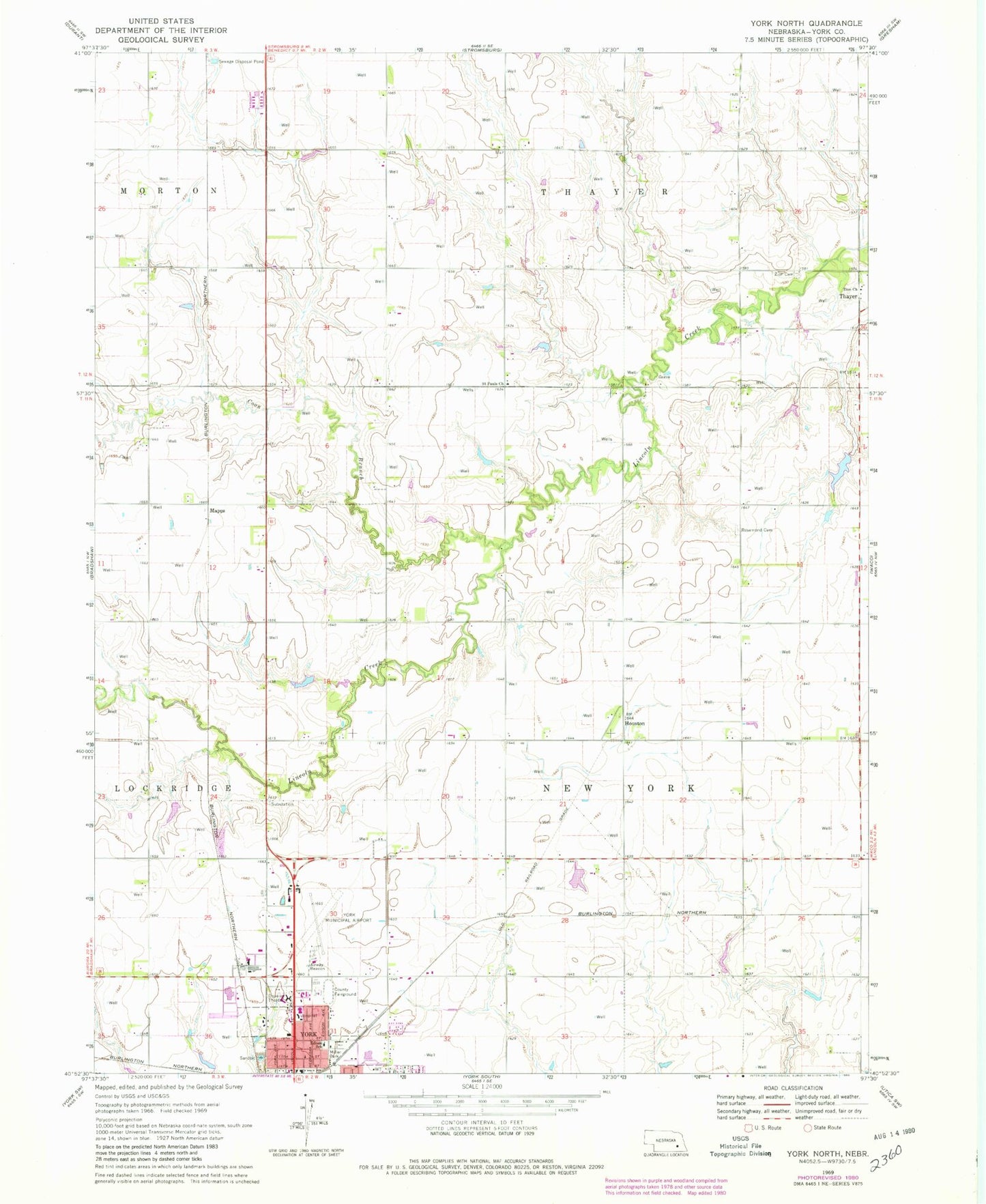
Classic USGS York North Nebraska 7.5'x7.5' Topo Map
Couldn't load pickup availability
Historical USGS topographic quad map of York North in the state of Nebraska. Map scale may vary for some years, but is generally around 1:24,000. Print size is approximately 24" x 27"
This quadrangle is in the following counties: York.
The map contains contour lines, roads, rivers, towns, and lakes. Printed on high-quality waterproof paper with UV fade-resistant inks, and shipped rolled.
Contains the following named places: Arbor Drive Baptist Church, Coon Branch, Duke Park, Edison School, First Christian Church, Houston, Houston Post Office, Jehovah Witnesses Church, Mapps, Miller Park, Nebraska 4-H Clubs Began in York County Historical Marker, New York Election Precinct, Rosemond Cemetery, Saint Pauls Church, Seventh Day Adventist Church, Specialty Clinic West, The Hearthstone, Township of New York, Wessels Dam, Wessels Reservoir, Y Motel and RV Park, York County Fairgrounds, York Elementary School, York Feedlot, York General Hospital, York High School, York Medical Clinic, York Municipal Airport, Zion Cemetery, Zion Church