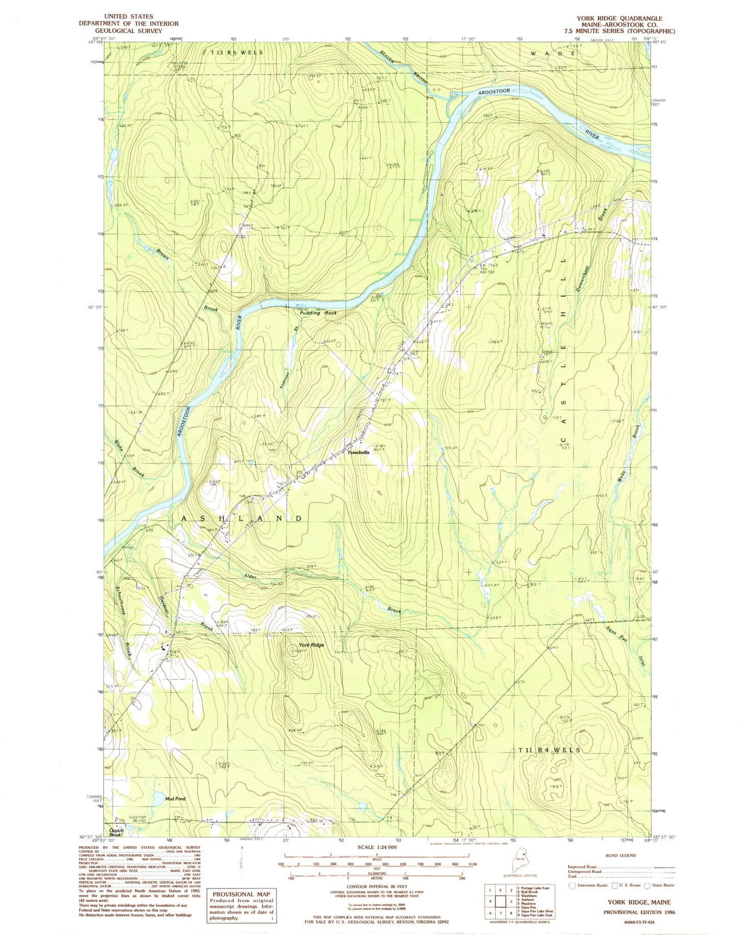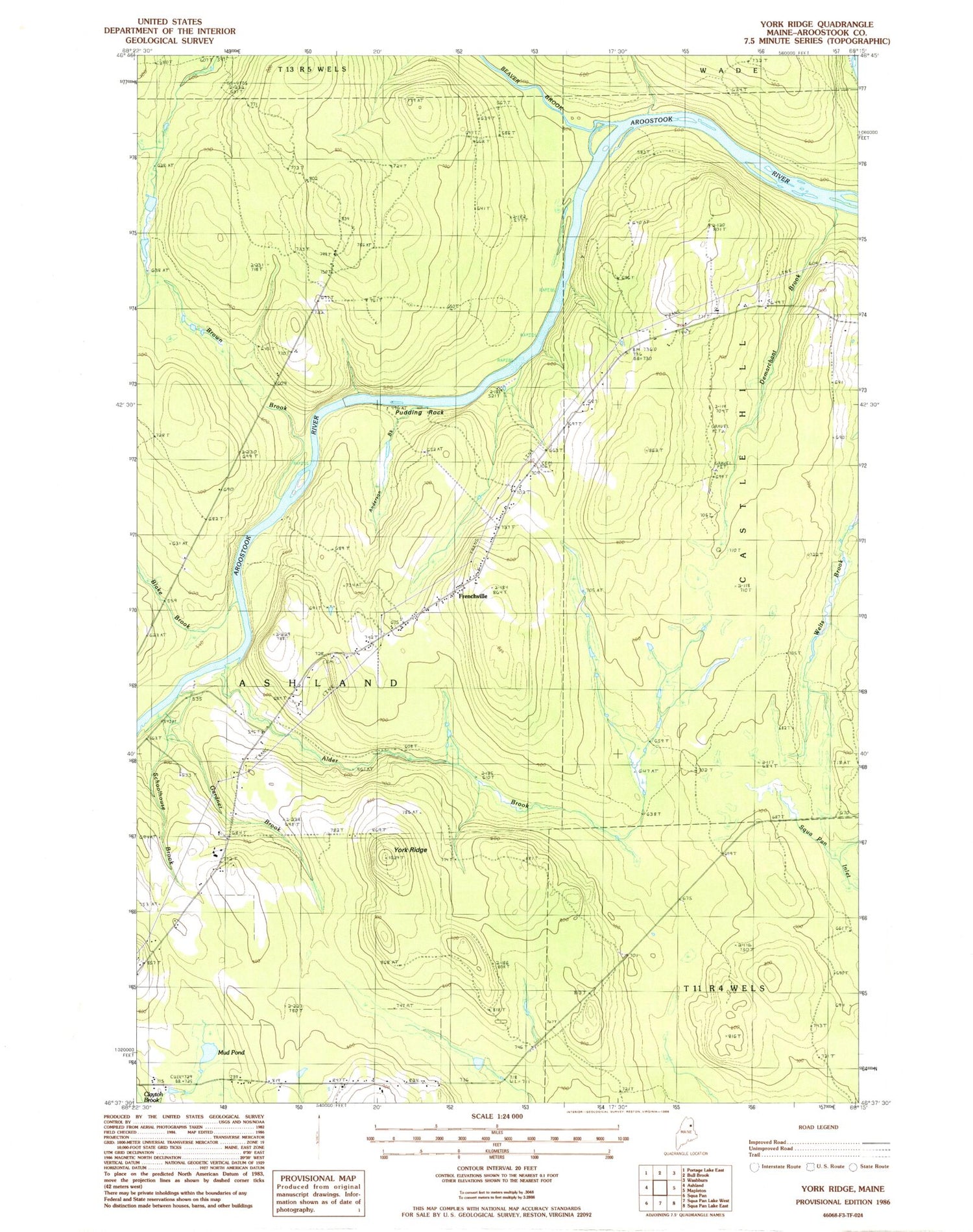
MyTopo
Classic USGS York Ridge Maine 7.5'x7.5' Topo Map
Regular price
$16.95
Regular price
Sale price
$16.95
Unit price
per
Couldn't load pickup availability
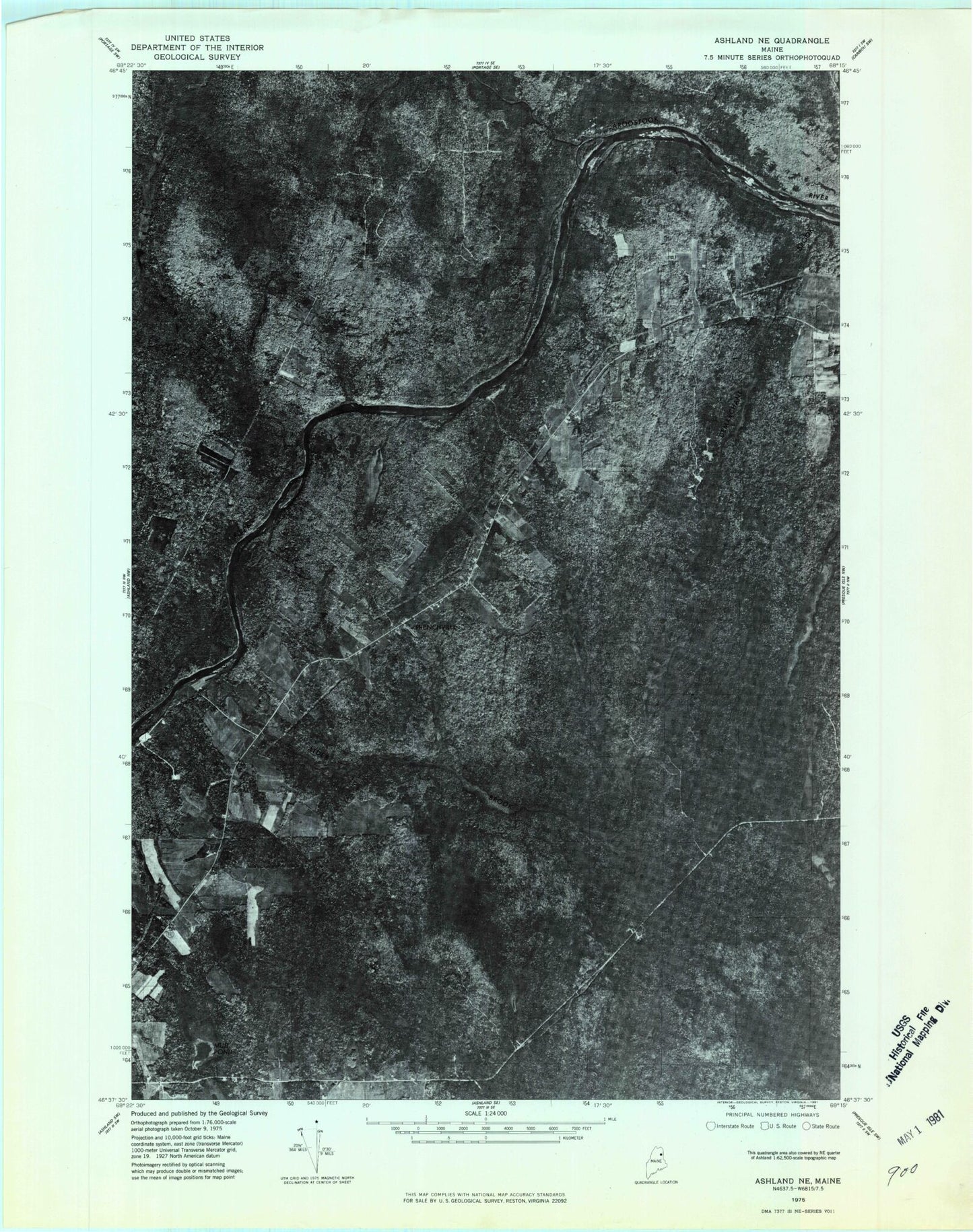
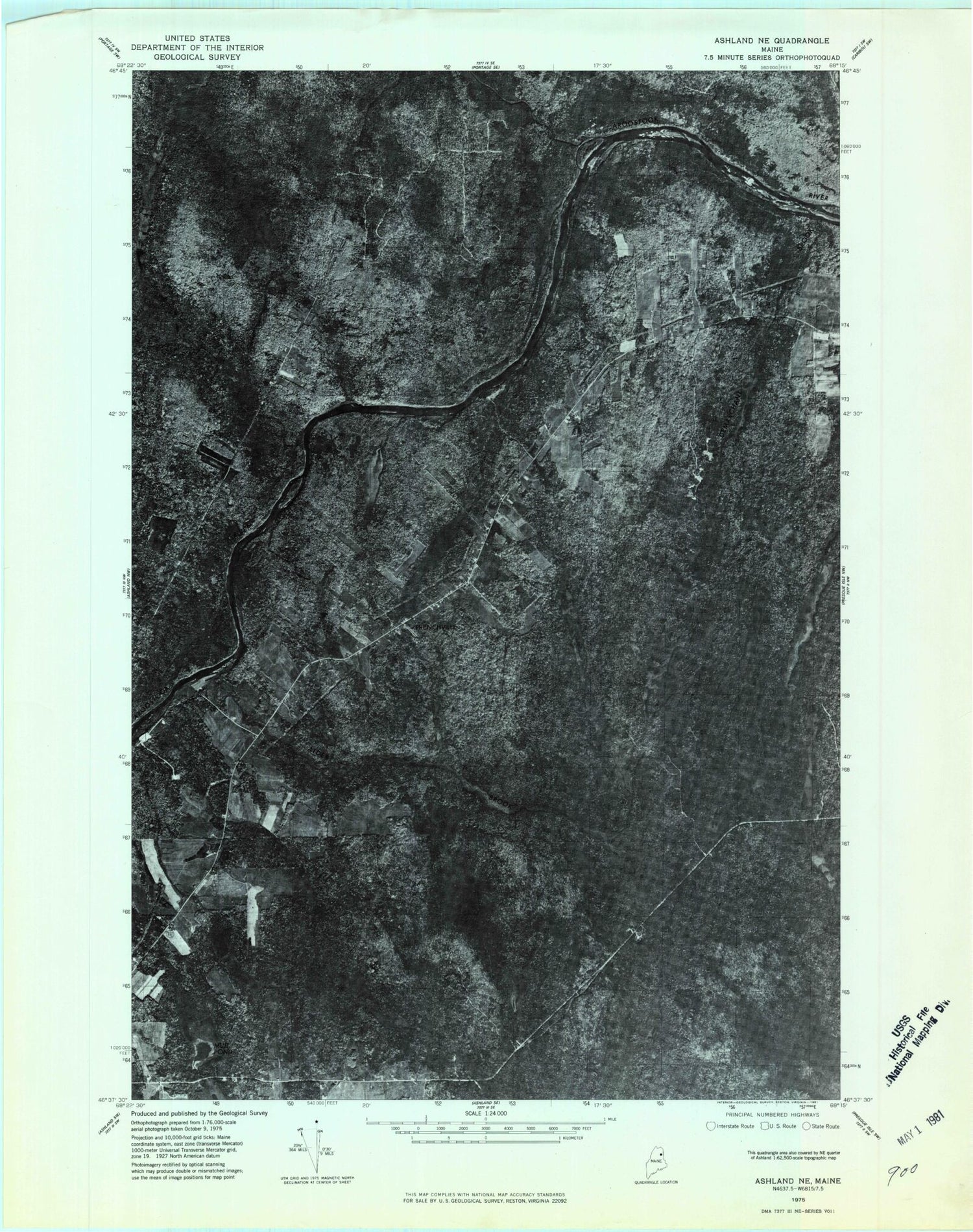
Historical USGS topographic quad map of York Ridge in the state of Maine. Map scale may vary for some years, but is generally around 1:24,000. Print size is approximately 24" x 27"
This quadrangle is in the following counties: Aroostook.
The map contains contour lines, roads, rivers, towns, and lakes. Printed on high-quality waterproof paper with UV fade-resistant inks, and shipped rolled.
Contains the following named places: Alder Brook, Alley Cemetery, Anderson Brook, Beaver Brook, Blake Brook, Brown Brook, Demarchant Brook, Frenchville, Frenchville Catholic Cemetery, Gardner Brook, Mud Pond, Pudding Rock, Town of Ashland, Walker Gardiner Cemetery, York Cemetery, York Ridge