MyTopo
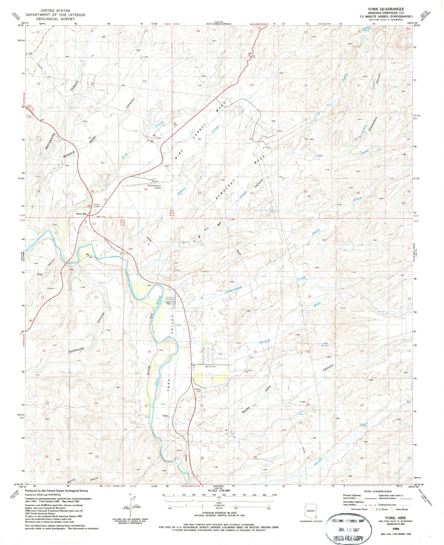
Classic USGS York Arizona 7.5'x7.5' Topo Map
Couldn't load pickup availability
Historical USGS topographic quad map of York in the state of Arizona. Map scale may vary for some years, but is generally around 1:24,000. Print size is approximately 24" x 27"
This quadrangle is in the following counties: Greenlee.
The map contains contour lines, roads, rivers, towns, and lakes. Printed on high-quality waterproof paper with UV fade-resistant inks, and shipped rolled.
Contains the following named places: Big Mesa, Buck Canyon, Buzzard Roost Canyon, C A Bar Canyon, C A Bar Creek, Cold Creek, Cottonwood Creek, Davis Ranch, Democrat Mesa, Dromedary Creek, Fulcher Ranch, Greaser Wash, Greenlee Country Club, Greenlee County Airport, Gus Spring, K Six Mountain, Linden Creek, Lop Ear Creek, Lop Ear Spring, Rocky John Canyon, Skully Creek, Three Way, Tollhouse Canyon, Valley View Mobile Home and Recreational Vehicle Park, Wampoo Wash, Willow Creek, Wire Corral Mesa, York, York Census Designated Place, York Railroad Station, York Valley