MyTopo
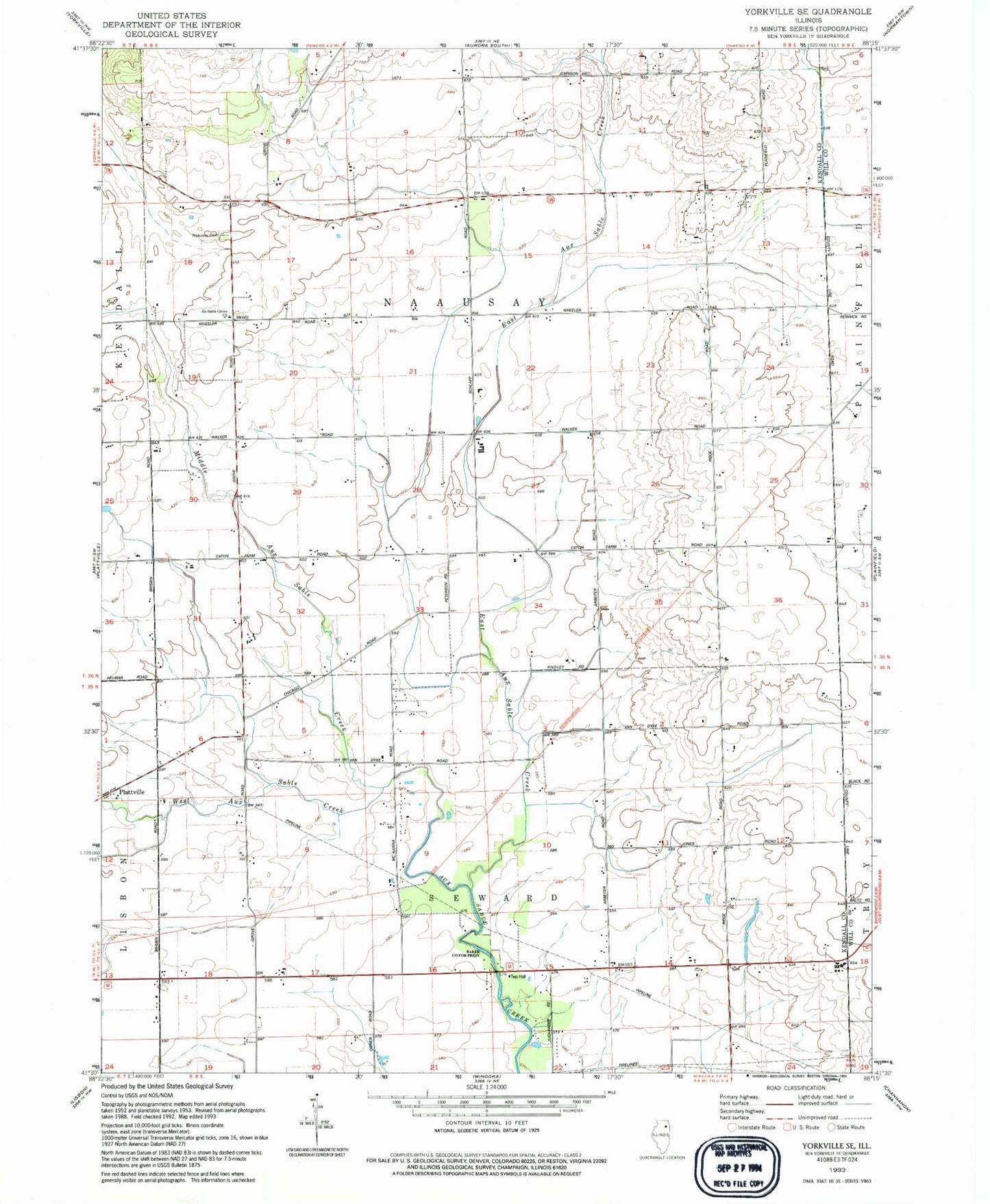
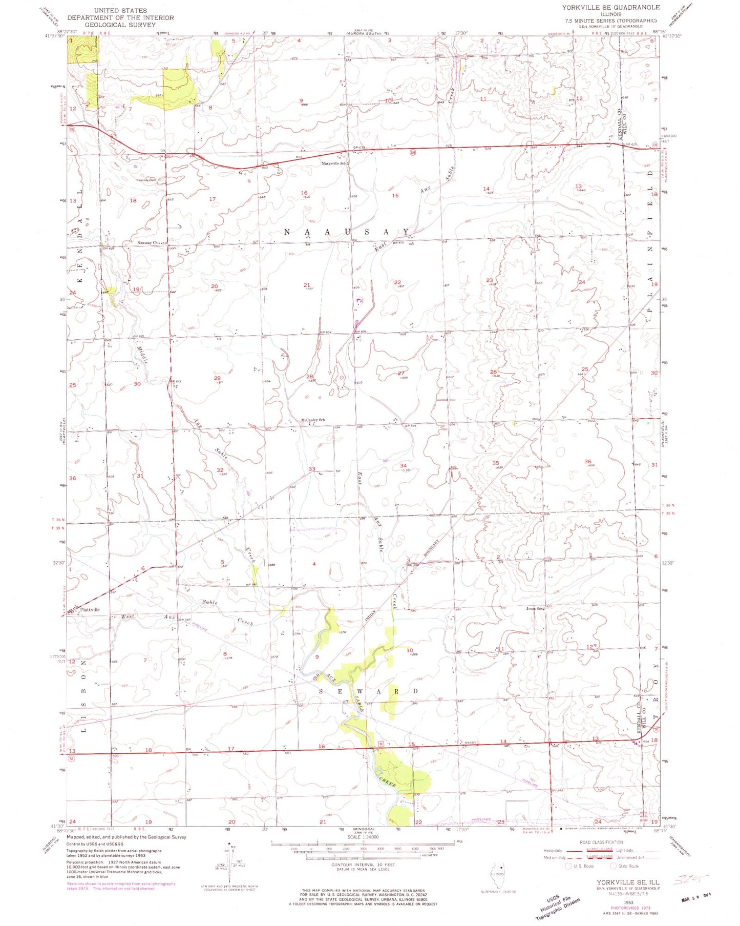
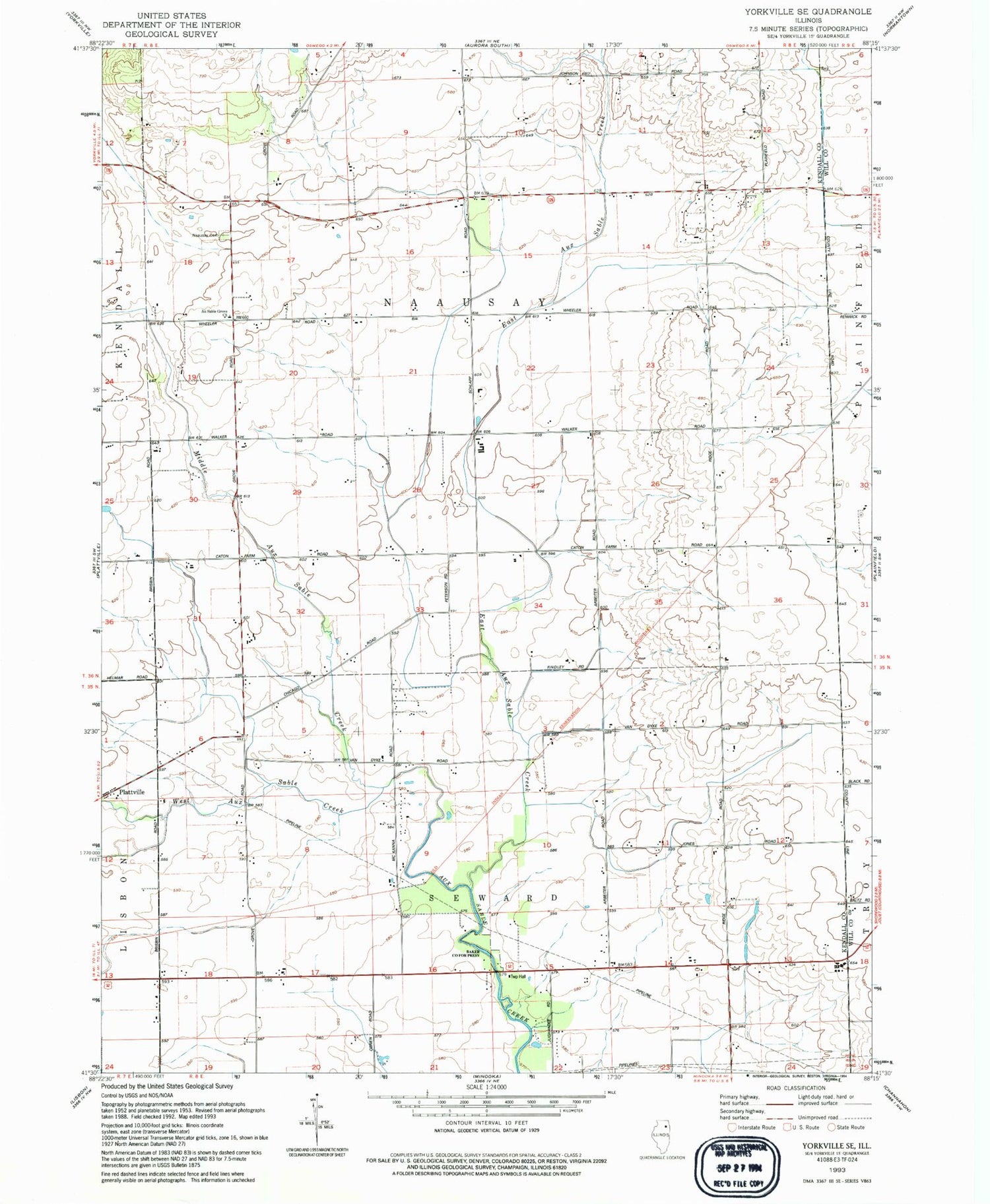
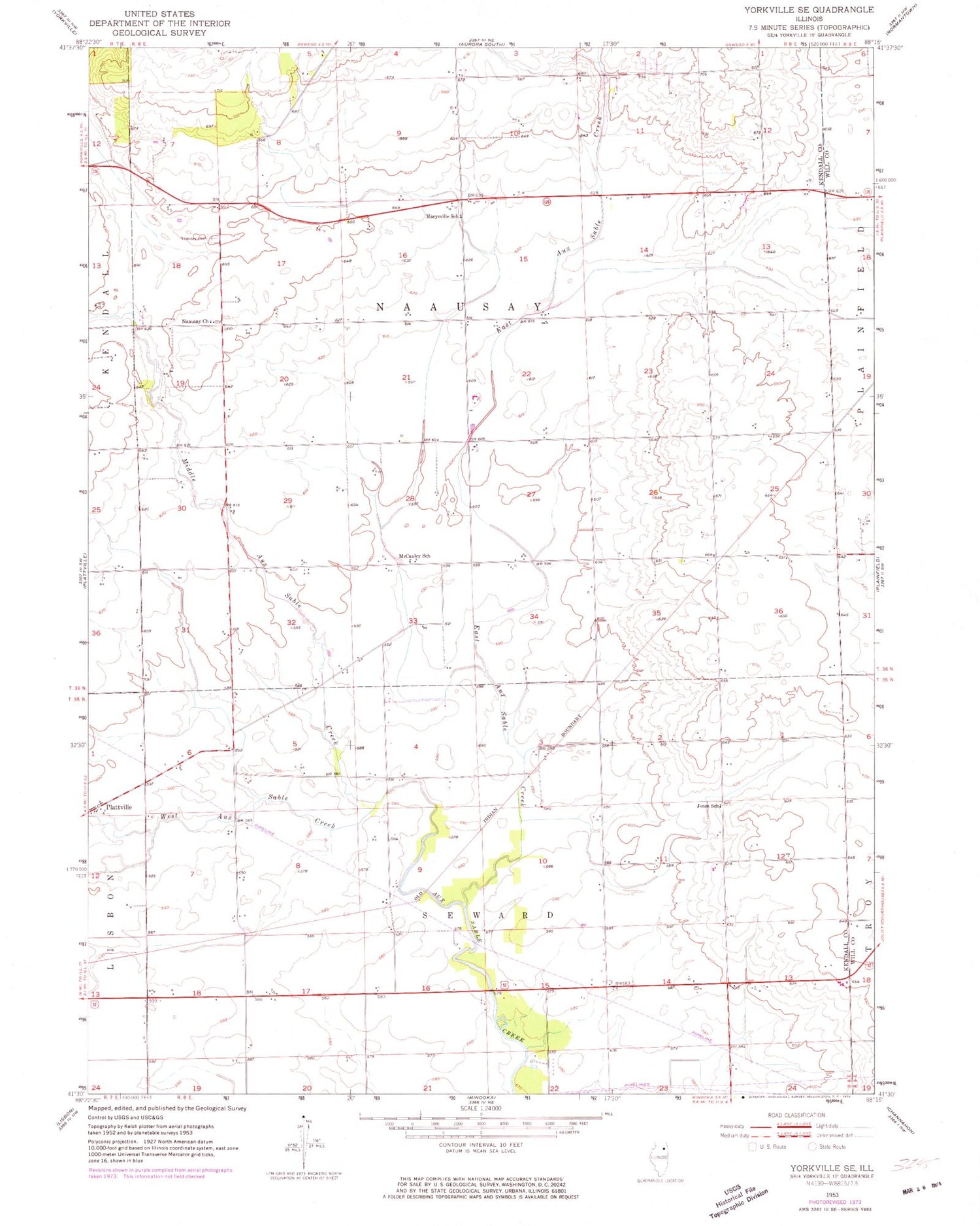
Classic USGS Yorkville SE Illinois 7.5'x7.5' Topo Map
Couldn't load pickup availability
Historical USGS topographic quad map of Yorkville SE in the state of Illinois. Map scale may vary for some years, but is generally around 1:24,000. Print size is approximately 24" x 27"
This quadrangle is in the following counties: Kendall, Will.
The map contains contour lines, roads, rivers, towns, and lakes. Printed on high-quality waterproof paper with UV fade-resistant inks, and shipped rolled.
Contains the following named places: Au Sable Grove Church, Aux Sable Grove, Aux Sable Grove Cemetery, Baker County Forest Preserve, Bethel School, Bronk School, Bushby RLA Airport, Cherry School, East Aux Sable Creek, Heap School, Houses Grove Forest Preserve, Joliet Fire Department Station 10, Jones School, Kendall Post Office, Lisbon - Seward Fire Protection District Station 2, Little Slough Creek, Lone Tree Grove, Marysville School, McCauley School, McKanna School, Middle Aux Sable Creek, Riley's Field, Rossi's Farm Airport, Township of Na-Au-Say, Township of Seward, Union School, Waish-kee-shaw Reserve, West Aux Sable Creek, Wyne School