MyTopo
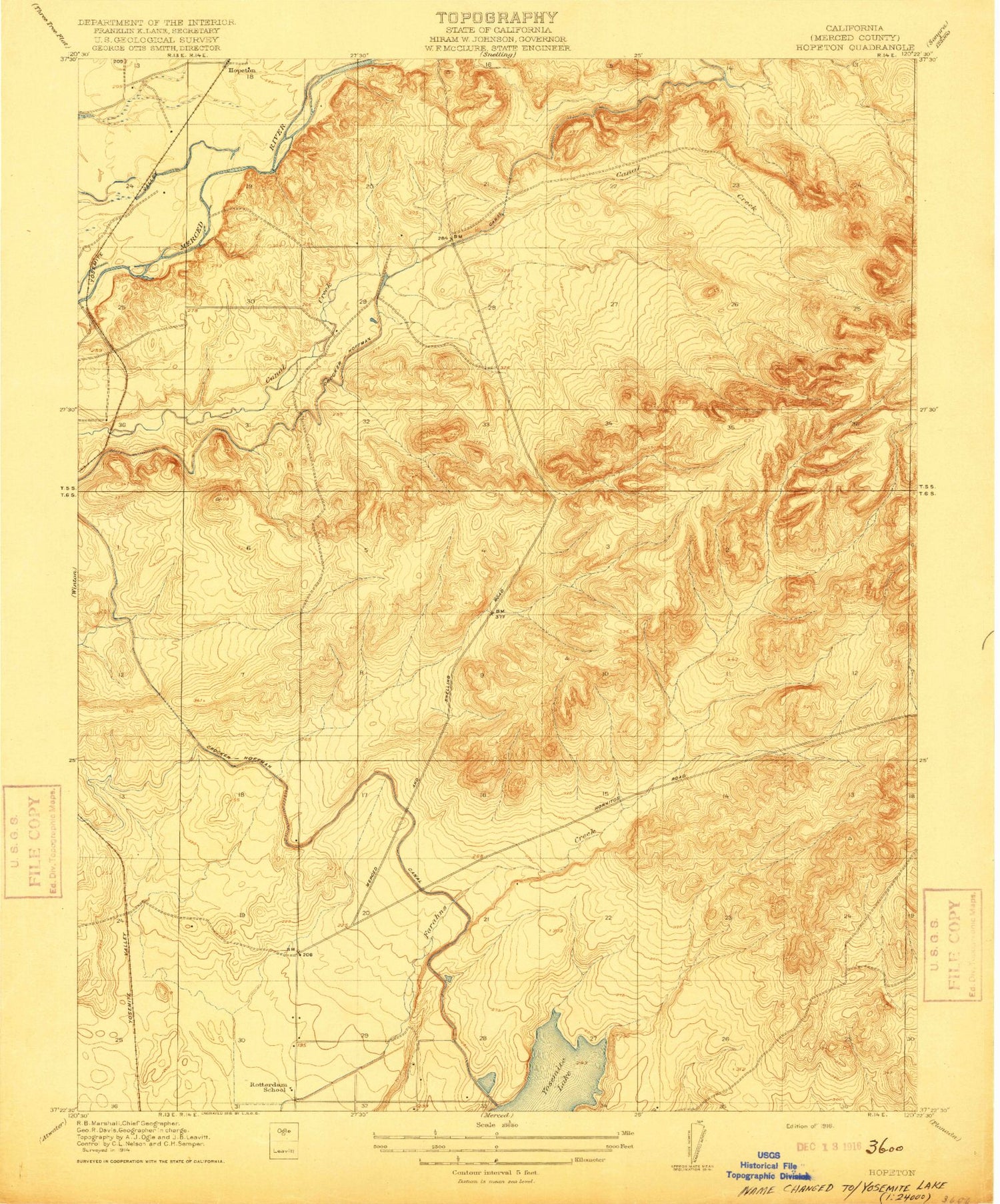
Classic USGS Yosemite Lake California 7.5'x7.5' Topo Map
Regular price
$16.95
Regular price
Sale price
$16.95
Unit price
per
Couldn't load pickup availability
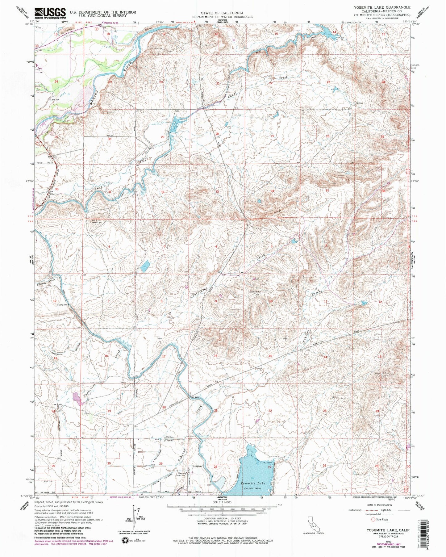
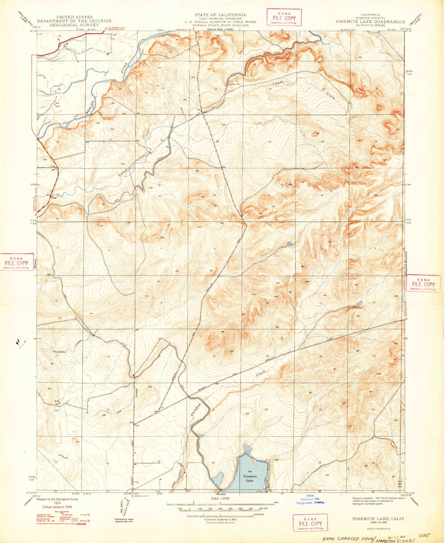
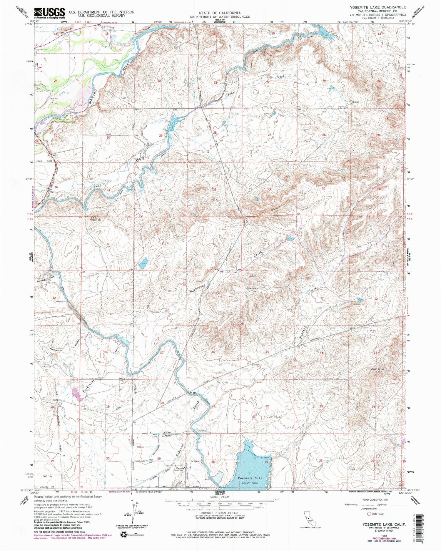
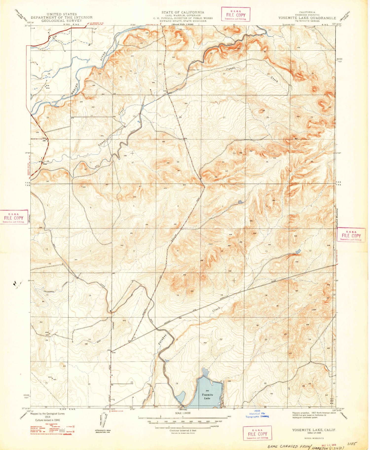
Historical USGS topographic quad map of Yosemite Lake in the state of California. Map scale may vary for some years, but is generally around 1:24,000. Print size is approximately 24" x 27"
This quadrangle is in the following counties: Merced.
The map contains contour lines, roads, rivers, towns, and lakes. Printed on high-quality waterproof paper with UV fade-resistant inks, and shipped rolled.
Contains the following named places: Bird Lateral, Cadera Lateral, Carson Pit, Highway 59 Landfill, KABX-FM (Merced), KDAT-FM (Merced), Main Canal, Merced Golf Club, Rotary Cove, Rotterdam Lateral, Rotterdam School, Upper Golf Lateral, Yosemite Lake, ZIP Code: 95348