MyTopo
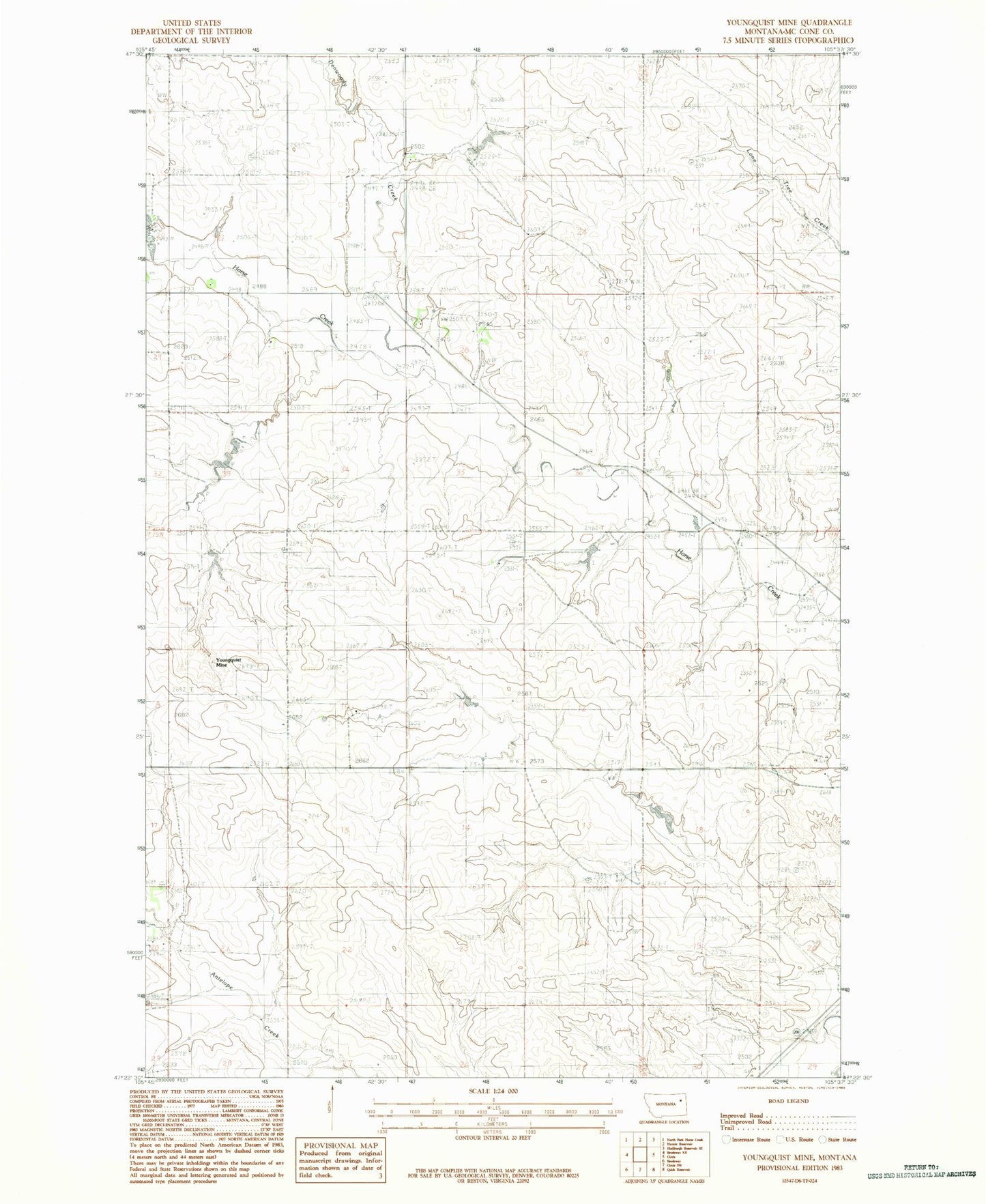
Classic USGS Youngquist Mine Montana 7.5'x7.5' Topo Map
Couldn't load pickup availability
Historical USGS topographic quad map of Youngquist Mine in the state of Montana. Map scale may vary for some years, but is generally around 1:24,000. Print size is approximately 24" x 27"
This quadrangle is in the following counties: McCone.
The map contains contour lines, roads, rivers, towns, and lakes. Printed on high-quality waterproof paper with UV fade-resistant inks, and shipped rolled.
Contains the following named places: 19N47E01ABAD01 Well, 19N47E02ADBB01 Well, 19N47E02ADBB02 Well, 19N47E10ACDC01 Well, 19N47E10DBBA01 Well, 19N47E10DBBD01 Well, 19N47E11DDDD01 Well, 19N47E13ABBA01 Well, 19N47E13DDCB01 Well, 19N47E14BAAA01 Well, 19N47E14BAAA02 Well, 19N47E14DDBB01 Well, 19N47E20ADDC01 Well, 19N47E20ADDC02 Well, 19N47E21CDBD01 Well, 19N47E28BCBC01 Well, 19N48E08BBCA01 Well, 19N48E17BAAD01 Well, 19N48E19AADD01 Well, 19N48E19DCBA01 Well, 20N47E24DCD_01 Well, 20N47E36ADDD01 Well, 20N48E20BACD01 Well, 20N48E20CDCD01 Well, Denwoody Creek, Groh Dam, Groh Number 1 Dam, Groh Stock Dam, Groh Stock Reservoir, Pawlowski Dam, Reinemer Dam, Youngquist Mine