MyTopo
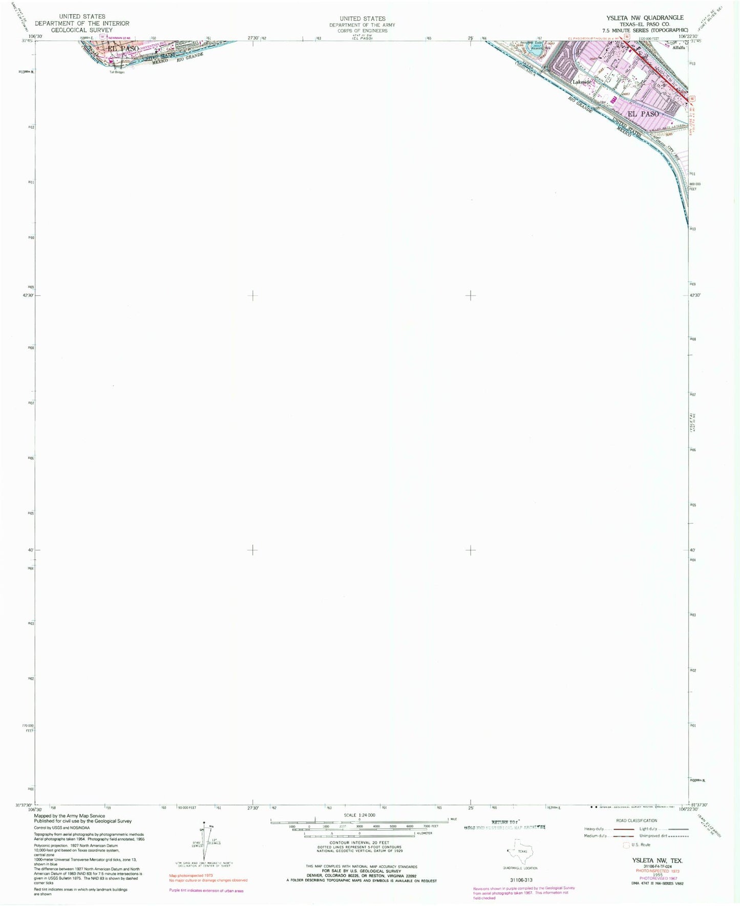
Classic USGS Ysleta NW Texas 7.5'x7.5' Topo Map
Couldn't load pickup availability
Historical USGS topographic quad map of Ysleta NW in the state of Texas. Map scale may vary for some years, but is generally around 1:24,000. Print size is approximately 24" x 27"
This quadrangle is in the following counties: El Paso.
The map contains contour lines, roads, rivers, towns, and lakes. Printed on high-quality waterproof paper with UV fade-resistant inks, and shipped rolled.
Contains the following named places: Cedar Grove Elementary School, Hidden Valley Park, KELP-AM (El Paso), Lakeside, Little Flower Catholic Church, Playa Drain, Riverfront Stadium - Riverside High School, Riverside Middle School, Saint Paul Catholic Church, Silver Dollar Cafe, Tejas School of Choice, Templo la Hermosa Church, Valley Gate Lateral