MyTopo
Classic USGS Yuba City California 7.5'x7.5' Topo Map
Couldn't load pickup availability
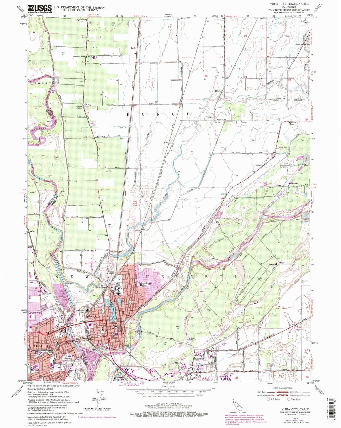
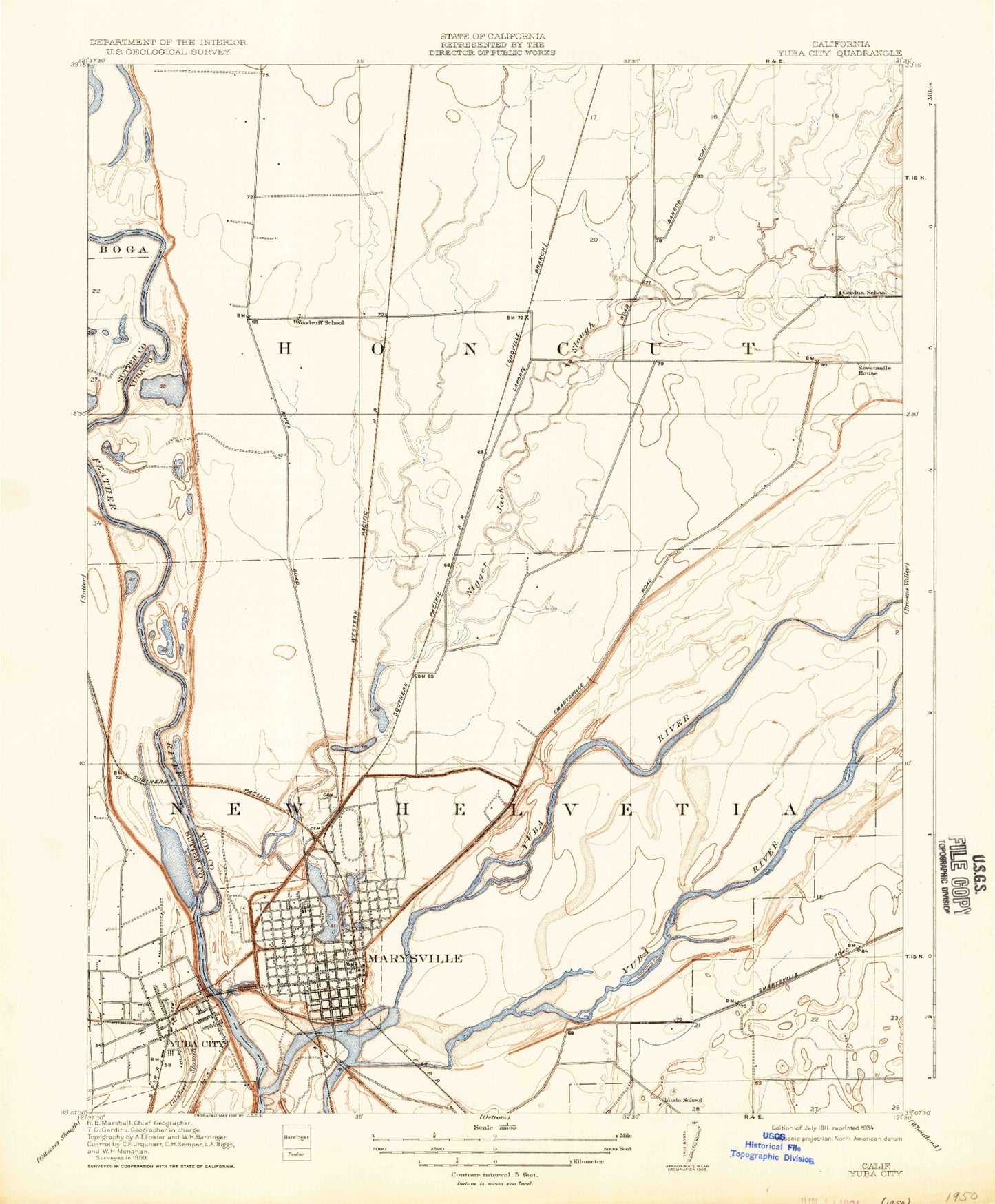
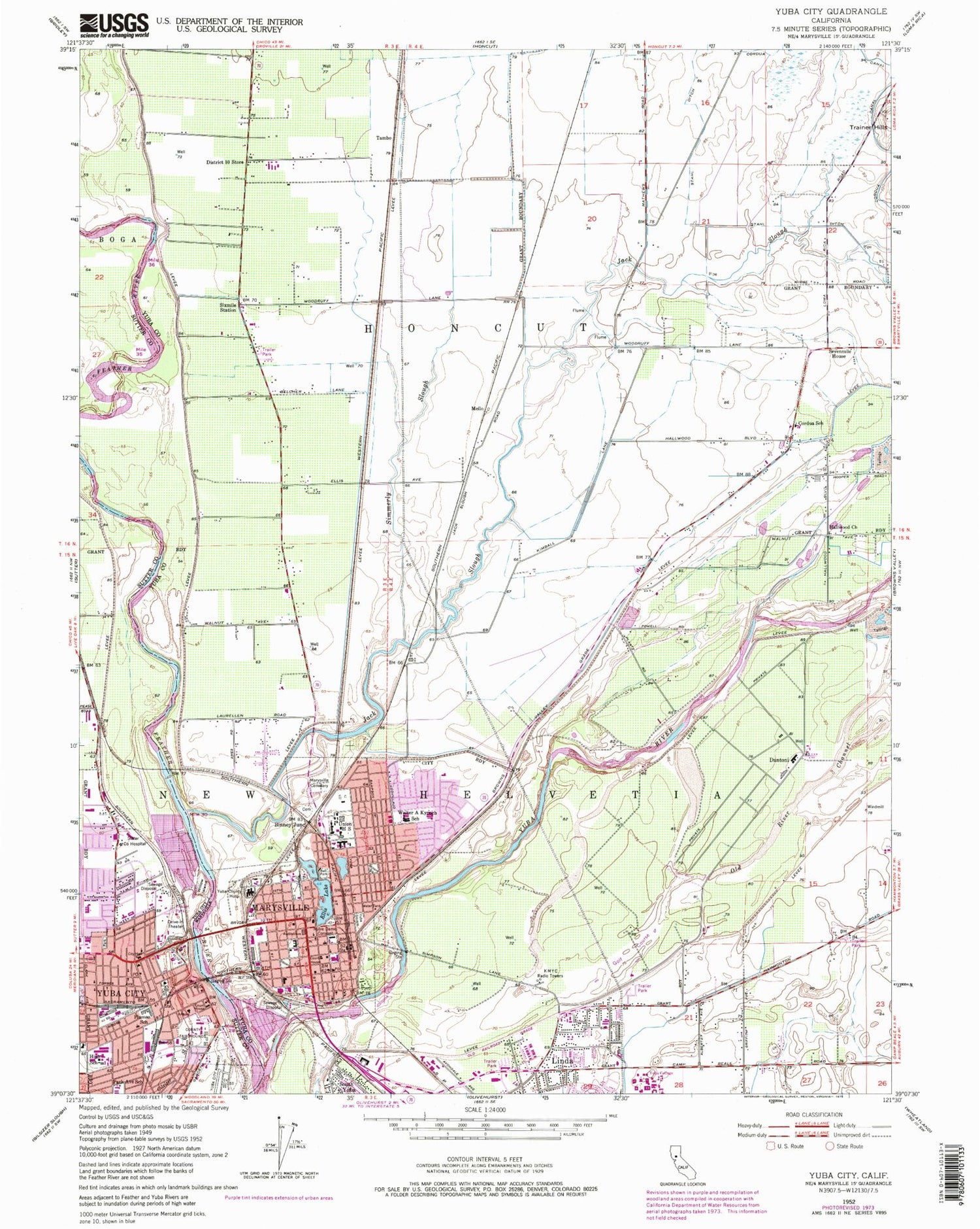
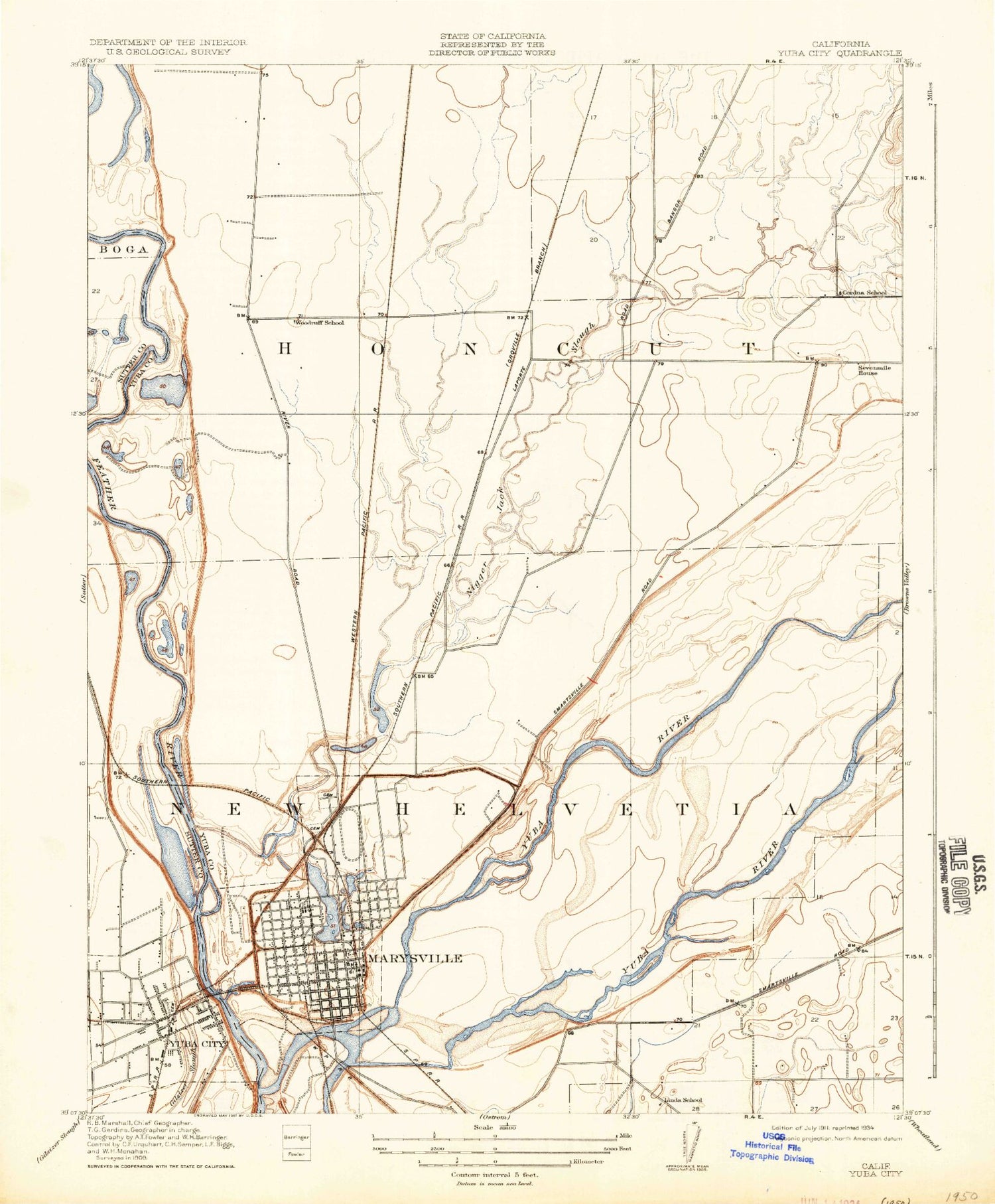
Historical USGS topographic quad map of Yuba City in the state of California. Map scale may vary for some years, but is generally around 1:24,000. Print size is approximately 24" x 27"
This quadrangle is in the following counties: Sutter, Yuba.
The map contains contour lines, roads, rivers, towns, and lakes. Printed on high-quality waterproof paper with UV fade-resistant inks, and shipped rolled.
Contains the following named places: Adventist Health And Rideout Hospital, Agape Bible Church, Alpine Village Mobile Home Estates, Alta Park, Basin Park, Bethel African Methodist Episcopal Church, Binney Junction, Bok Kai Temple, Bridge Street Elementary School, Bryant Field, Buddhist Church of Marysville, California Department of Forestry and Fire Protection Station 95 Marysville Fire Department, Castlewood Mobile Home Park, Cheim Airport, Church of Christ, City of Marysville, Cooper Avenue Baptist Church, Cordua Canal, Cordua Elementary School, Cordua School, Country Side Mobile Home Park, Covillaud Elementary School, Dantoni, Dantoni Junction, District Ten Store, Eastpark Lake, Ellis Lake, Ellis Lake Park, Faith Lutheran Church, Family Bible Center, First Christian Church, First Church of Christ Scientist, First Lutheran Church, First Methodist Church, First Presbyterian Church, First United Methodist Church, Fremont Medical Center, Garcia Pit, Gauche Park, Hall Street Baptist Church, Hallwood Church, Hart Building, Jack Slough, Kingdom Hall of Jehovahs Witnesses, KMYC-AM (Marysville), KOBO-AM (Yuba City), Kynoch Elementary School, Library Learning Center Yuba Community College, Linda, Linda Elementary School, Linda School, Maple Park, Market Square, Mary Aaron Memorial Museum, Marysville, Marysville Art Club, Marysville Cemetery, Marysville City Hall, Marysville Division, Marysville High School, Marysville Jewish Cemetery, Marysville Police Department, Marysville Post Office, McKenney Intermediate School, Mello, Memorial Stadium, Miners Square, Morley Park, Mount Olivet Baptist Church, Napoleon Square, New Helvetia, North Valley Behavioral Health, Notre Dame Convent, Notre Dame High School, Old River Channel, Oliver, Packard Library, Park Avenue Elementary School, Peach Tree Golf and Country Club, Pentecostal Holiness Church, Plaza Park, River Front Park, S J Field Park, Saint Johns Episcopal Church, Saint Joseph Catholic Church, Sevenmile House, Simmerly Slough, Sixmile Station, South Yuba, Southside Park, Stahl Ditch, Sutter - Yuba Mental Health Services, Sutter County Airport, Sutter County Courthouse, Sutter County Free Library, Sutter County Jail, Sutter County Law Library, Sutter County Office Building, Sutter Surgical Hospital North Valley, Tabernacle De La Fe, Tambo, The Castle, Thunderbird Mobile Home Park, Triplett Park, Twin Cities Memorial Bridge, Veterans Memorial Auditorium, Veterans Park, Washington Square, Willow Island, Woodruff School, Word of Life Church, Yuba City, Yuba City Cemetery, Yuba City City Hall, Yuba City High School, Yuba City Post Office, Yuba City Womens Club, Yuba County Courthouse, Yuba County Hospital, Yuba County Jail, Yuba County Library, Yuba County Sheriff's Office, Yuba Junior College, Yuba River, Yuba Square, Yuba-Sutter Fairgrounds, Yupu, Zion Church in Jesus Christ Number 2


