MyTopo
Classic USGS Yucca Lake Nevada 7.5'x7.5' Topo Map
Regular price
$16.95
Regular price
Sale price
$16.95
Unit price
per
Couldn't load pickup availability
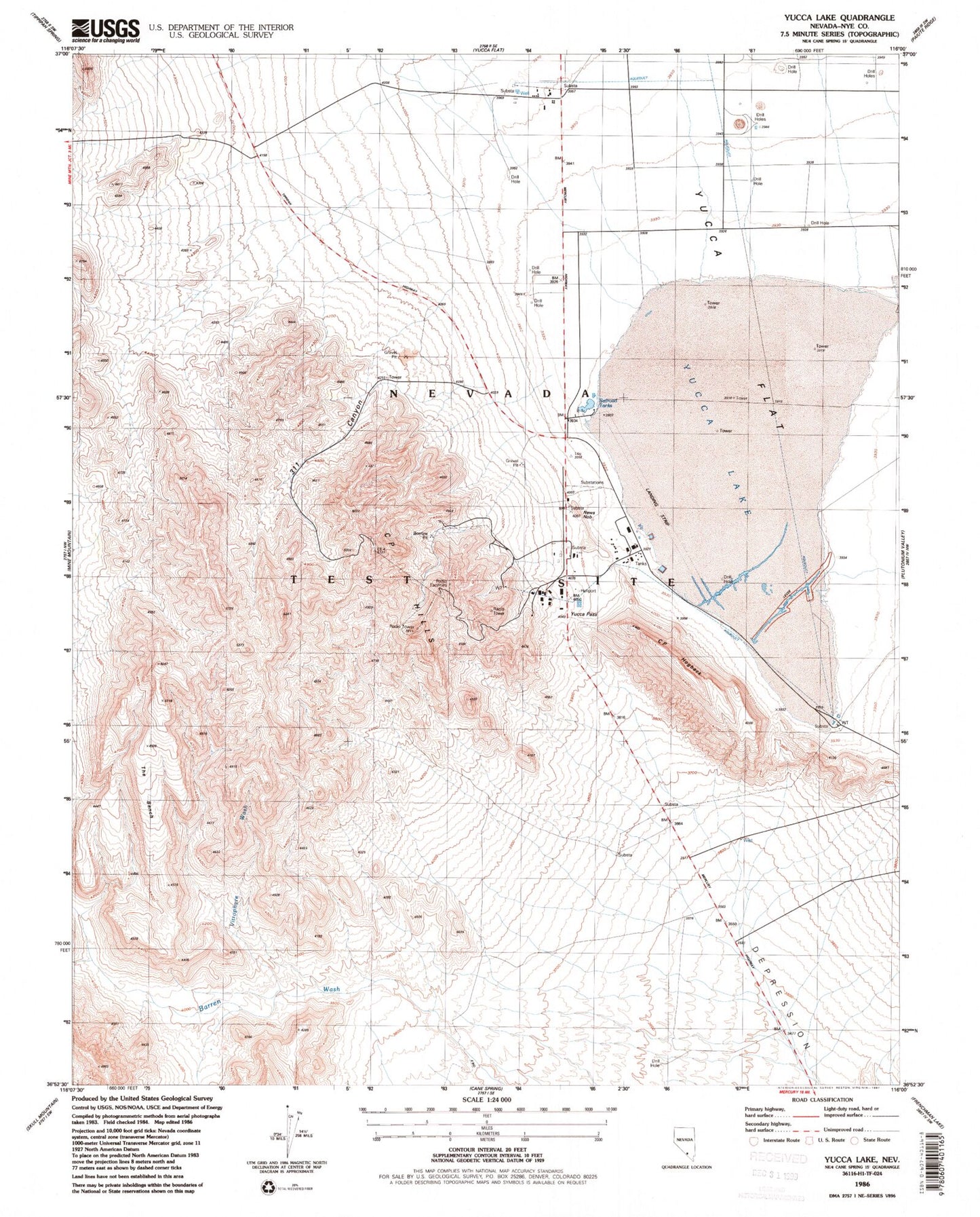
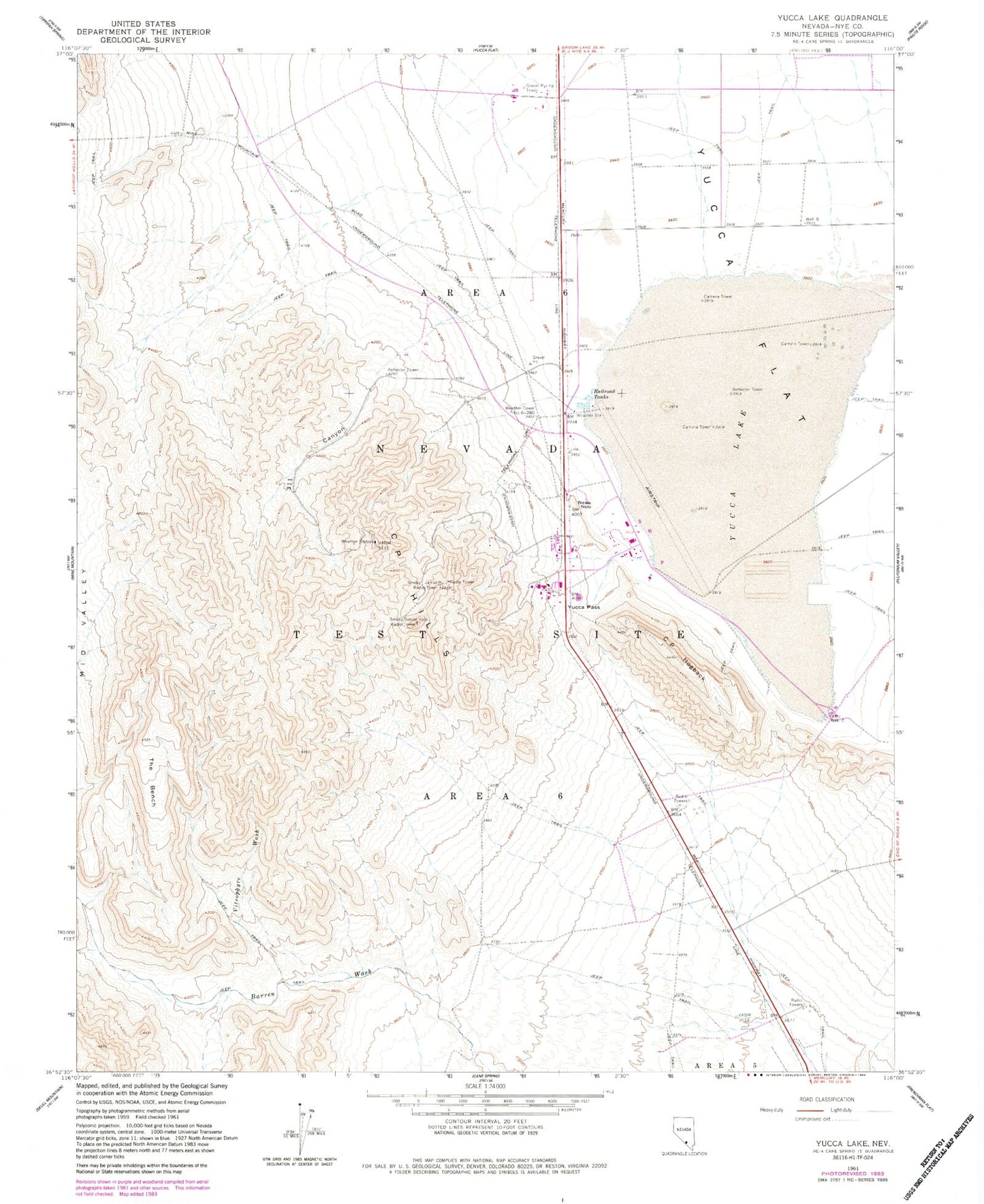
Historical USGS topographic quad map of Yucca Lake in the state of Nevada. Map scale may vary for some years, but is generally around 1:24,000. Print size is approximately 24" x 27"
This quadrangle is in the following counties: Nye.
The map contains contour lines, roads, rivers, towns, and lakes. Printed on high-quality waterproof paper with UV fade-resistant inks, and shipped rolled.
Contains the following named places: C P Canyon, C P Hills, C P Hogback, Nevada Test Site Area 6, News Nob, Railroad Tanks, Smoky Junior Radio Tower, Smoky Senior Radio Tower, The Bench, Vitrophyre Wash, Weather Tower Number 6-280, Well B, Well C, Well Number Three, Well Three, Yucca Airstrip, Yucca Lake, Yucca Pass