
MyTopo
Classic USGS Yucca Valley North California 7.5'x7.5' Topo Map
Couldn't load pickup availability
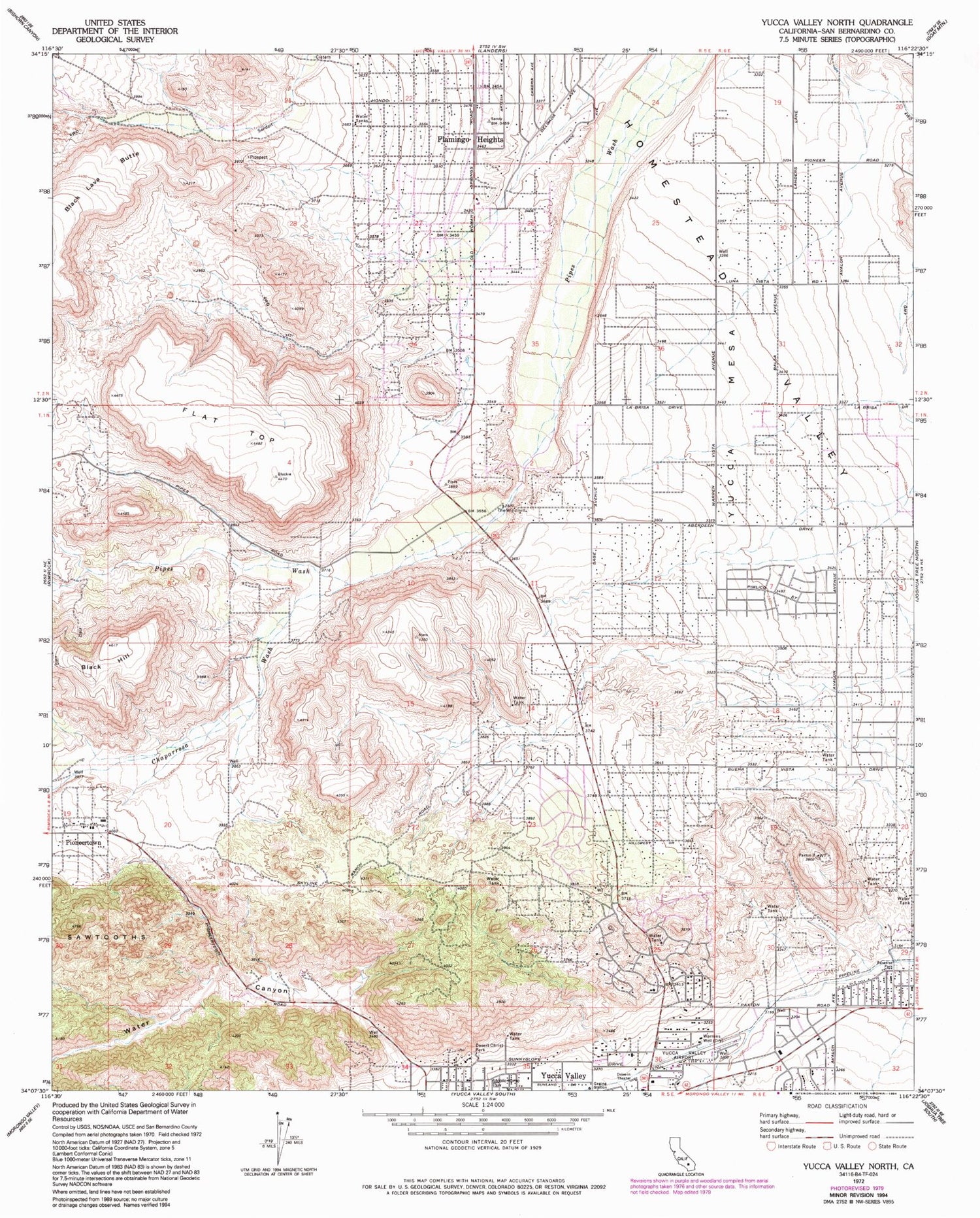
Historical USGS topographic quad map of Yucca Valley North in the state of California. Typical map scale is 1:24,000, but may vary for certain years, if available. Print size: 24" x 27"
This quadrangle is in the following counties: San Bernardino.
The map contains contour lines, roads, rivers, towns, and lakes. Printed on high-quality waterproof paper with UV fade-resistant inks, and shipped rolled.
Contains the following named places: Black Hill, Chaparrosa Wash, Desert Christ Park, Flamingo Heights, Flat Top, Paradise Park, Pioneertown, The Windmill, Warrens Well, Water Canyon, Yucca Valley Airport, Yucca Valley Service Center Heliport, Yucca Mesa, Yucca Mesa Elementary School, Calvary Baptist Church, Church of the Nazarene, First Christian Church, Golden Rule Park, Hi-Desert Nature Museum, Joshua Village Shopping Center, Pioneertown Post Office, San Bernardino County Fire Department Yucca Valley Station 42


