MyTopo
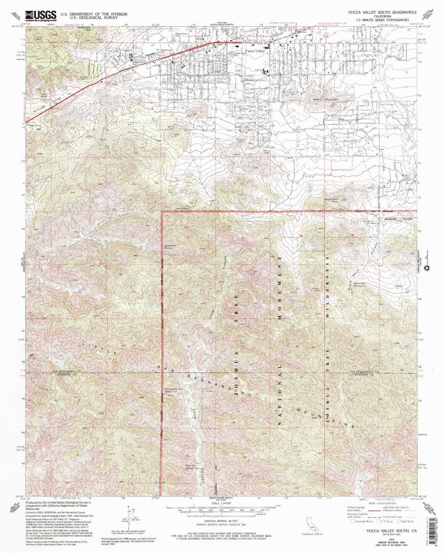
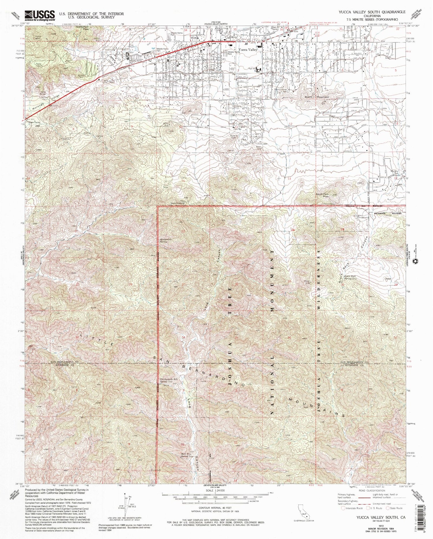
Classic USGS Yucca Valley South California 7.5'x7.5' Topo Map
Couldn't load pickup availability
Historical USGS topographic quad map of Yucca Valley South in the state of California. Typical map scale is 1:24,000, but may vary for certain years, if available. Print size: 24" x 27"
This quadrangle is in the following counties: Riverside, San Bernardino.
The map contains contour lines, roads, rivers, towns, and lakes. Printed on high-quality waterproof paper with UV fade-resistant inks, and shipped rolled.
Contains the following named places: Bare Tree Spring, Black Rock Canyon, Black Rock Spring, Chuckawalla Bill Spring, Machris Park, Rattlesnake Spring, South Park Peak, Tucca Park, Burnt Mountain, North Park Peak, Yucca Valley, Black Rock Campground, Blue Skies Country Club, Community Center Park, Desert Hills Presbyterian Church, Desert Hills Plaza Shopping Center, Desert Rock Foursquare Church, Faith Baptist Church, First Assembly of God Church, Hi Desert Park, Hi-View Nature Trail, Joshua Drive Park, North Park, Onaga Elementary School, Saint Marys of the Valley Church, Seventh Day Adventist Church of Yucca Valley, South Park, Traingle Park, Yucca Valley Branch San Bernardino County Library, Yucca Valley Christian School, Yucca Valley Elementary School, Yucca Valley High School, Town of Yucca Valley, San Bernardino County Fire Department Station 41 - Yucca Valley, California Department of Forestry and Fire Protection Station 14 - Yucca Valley, San Bernardino County Sheriff's Office - Yucca Valley Satellite, Yucca Valley Post Office


