MyTopo
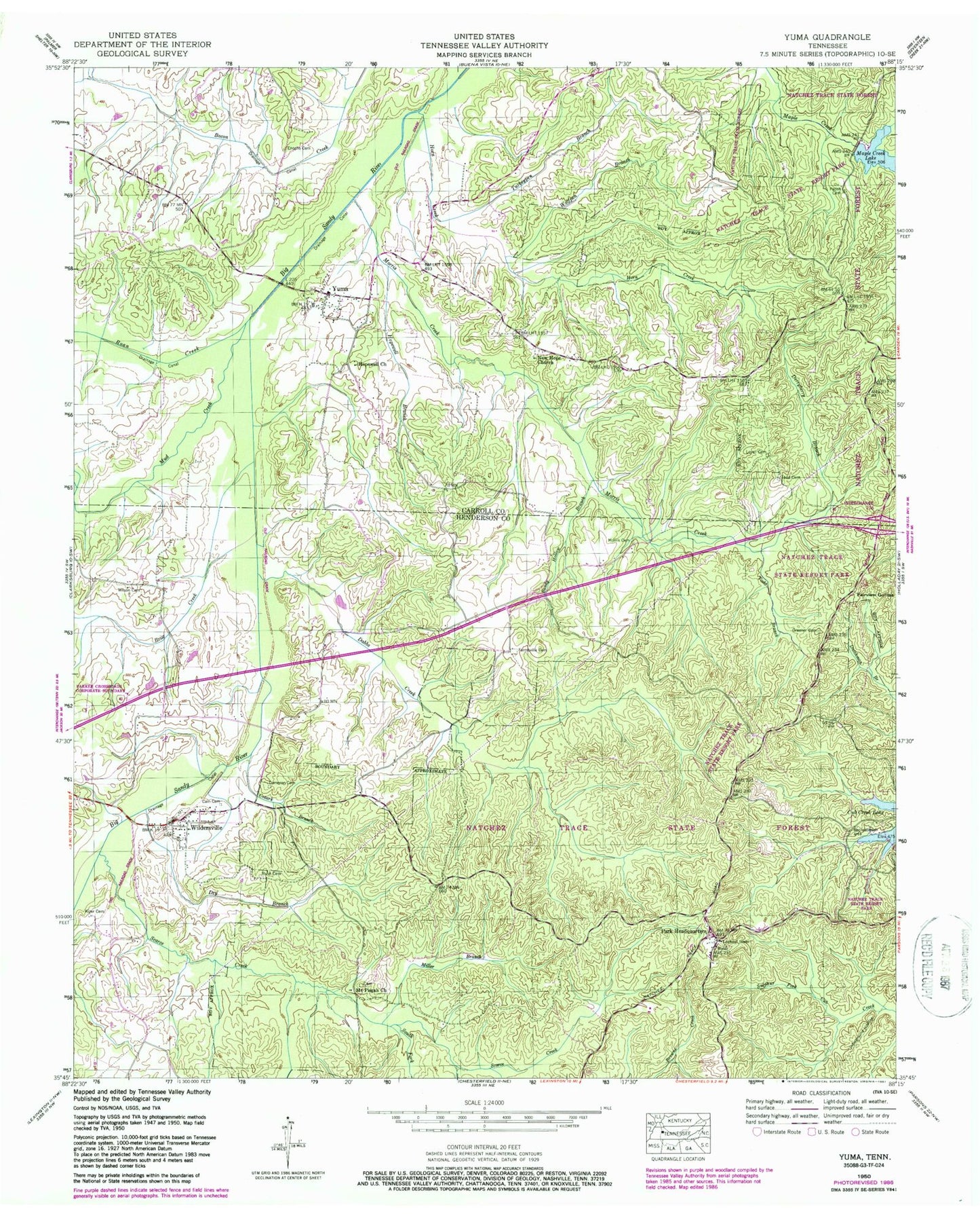
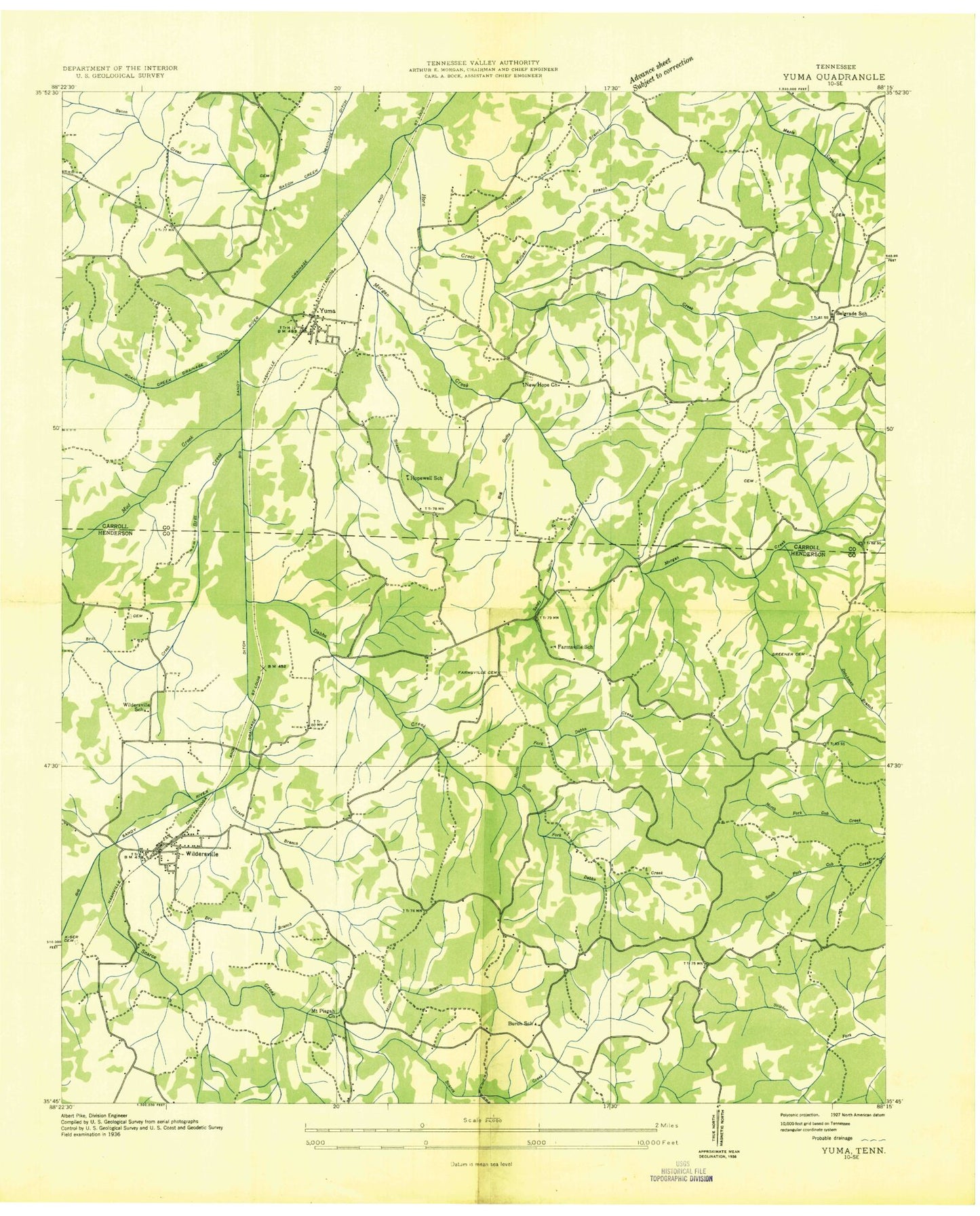
Classic USGS Yuma Tennessee 7.5'x7.5' Topo Map
Couldn't load pickup availability
Historical USGS topographic quad map of Yuma in the state of Tennessee. Map scale may vary for some years, but is generally around 1:24,000. Print size is approximately 24" x 27"
This quadrangle is in the following counties: Carroll, Henderson.
The map contains contour lines, roads, rivers, towns, and lakes. Printed on high-quality waterproof paper with UV fade-resistant inks, and shipped rolled.
Contains the following named places: Belgrade School, Big Gully, Britt Creek, Burch School, Cain Cemetery, Cozark Branch, Cub Creek Lake, Dabbs Creek, Dameron Cemetery, Derryberry Branch, District 14, Dry Branch, Enochs Cemetery, Fairview Gullies, Farmsville School, Farmville, Farmville Cemetery, Greener Cemetery, Holly Springs Church, Hopewell Branch, Hopewell Church, Hopwell School, Horn Creek, Kizer Cemetery, Lovell Cemetery, Maple Creek Dam, Miller Branch, Morgan, Morris Cemetery, Morris Creek, Mount Pisgah Church, Mud Creek, Natchez Trace State Forest, Natchez Trace State Resort Park, New Hope Baptist Church, New Hope Cemetery, North Fork Dabbs Creek, Pleasant Exchange, Roan Creek, Rush Cemetery, Sandy Hollow Branch, Scarce Creek, South Fork Dabbs Creek, South Fork Scarce Creek, Sulphur Fork Trail, Tennessee Department of Agriculture Division of Forestry Natchez Trace, Todd Branch, Todd Cemetery, Turkeypen Branch, Wildersville, Wildersville Baptist Church, Wildersville Census Designated Place, Wildersville School, Wilson Cemetery, Wolfpen Branch, Yuma, Yuma Census Designated Place, Yuma Post Office, Yuma School, ZIP Codes: 38387, 38388, 38390