MyTopo
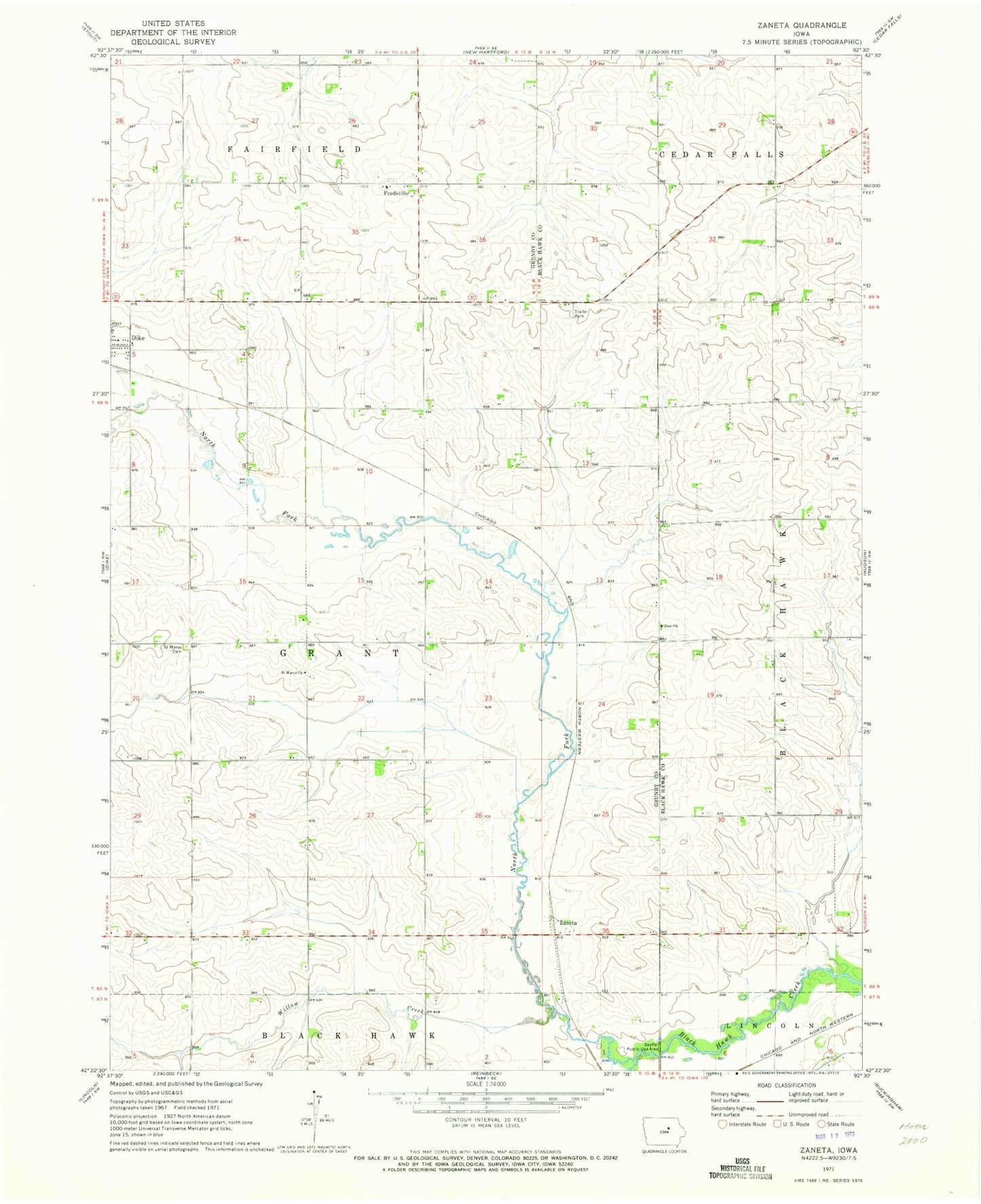
Classic USGS Zaneta Iowa 7.5'x7.5' Topo Map
Couldn't load pickup availability
Historical USGS topographic quad map of Zaneta in the state of Iowa. Map scale may vary for some years, but is generally around 1:24,000. Print size is approximately 24" x 27"
This quadrangle is in the following counties: Black Hawk, Grundy.
The map contains contour lines, roads, rivers, towns, and lakes. Printed on high-quality waterproof paper with UV fade-resistant inks, and shipped rolled.
Contains the following named places: Bois d'Arc, Bois D'Arc Post Office, Cedar Valley Cemetery, Corn Beef Feedlot, Fox Ridge Golf Course, Fredsville, Fredsville Evangelical Lutheran Church Cemetery, Fredsville Post Office, Kingsbury Post Office, North Fork Black Hawk Creek, Saint Marys Cemetery, Saint Marys Church, Seyffer Public Use Area, Township of Grant, Willow Creek, Witcombe Field, Zaneta, Zaneta Post Office, Zion Church, Zion Lutheran Cemetery