MyTopo
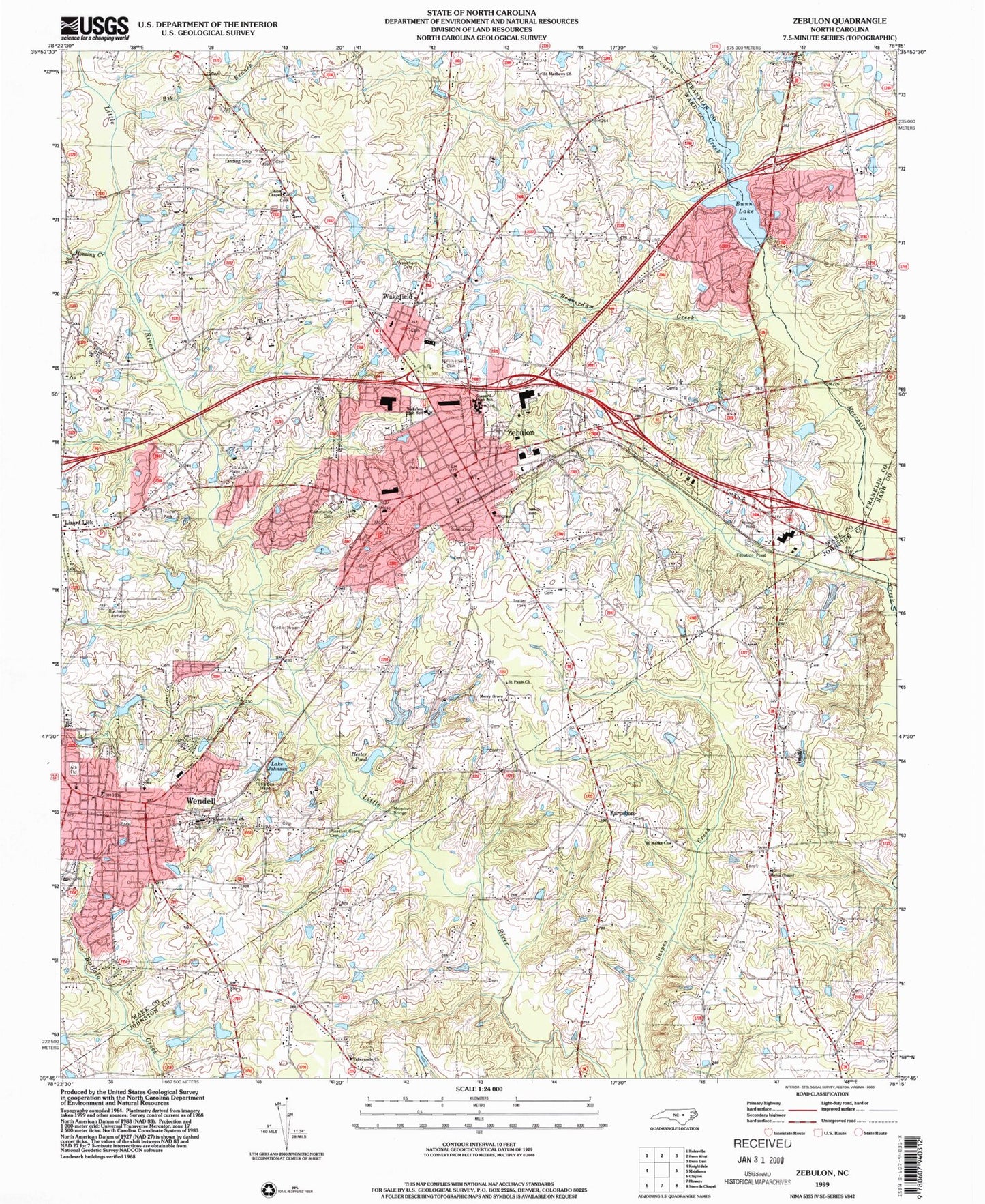
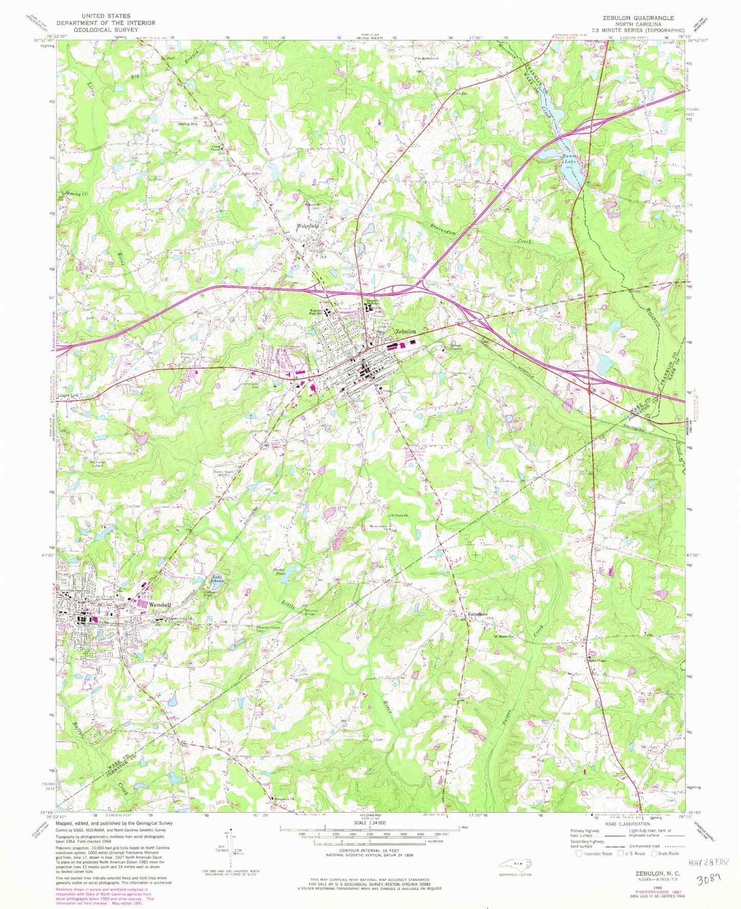
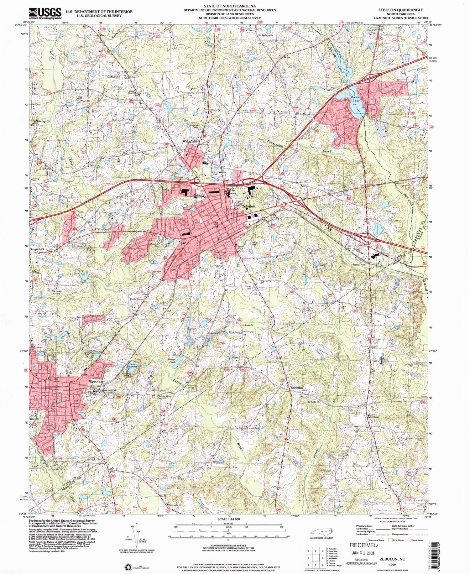
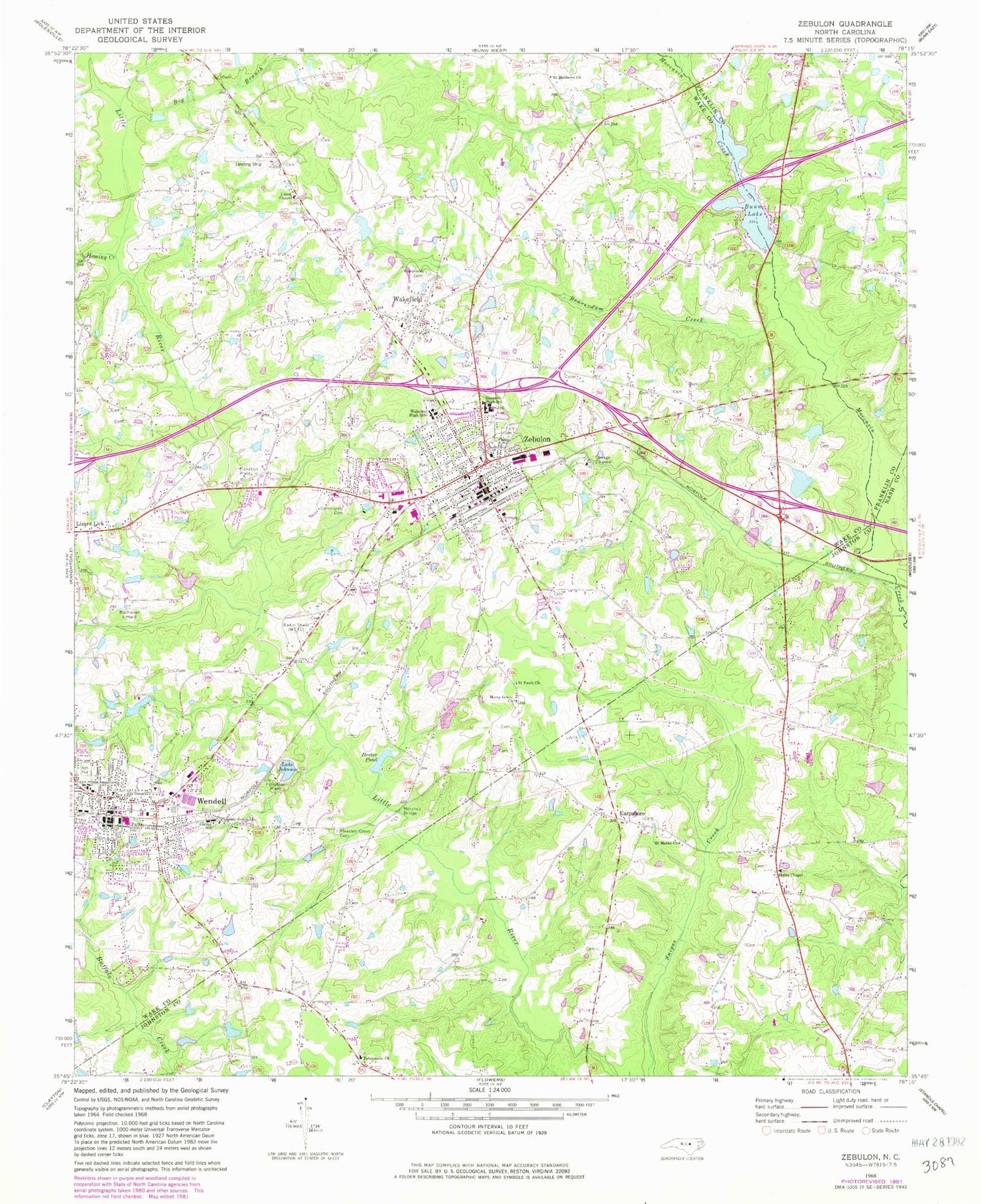
Classic USGS Zebulon North Carolina 7.5'x7.5' Topo Map
Couldn't load pickup availability
Historical USGS topographic quad map of Zebulon in the state of North Carolina. Map scale may vary for some years, but is generally around 1:24,000. Print size is approximately 24" x 27"
This quadrangle is in the following counties: Franklin, Johnston, Nash, Wake.
The map contains contour lines, roads, rivers, towns, and lakes. Printed on high-quality waterproof paper with UV fade-resistant inks, and shipped rolled.
Contains the following named places: Ammons Pond, Ammons Pond Dam, Angelview, Baptist Tabernacle Church, Barbees Mill, Beaverdam Creek, Big Branch, Buchanan Airport, Bunn Lake, Bunn Lake Dam, Camp Durant Lake Number Two, Carver School, Cobblestone, Deerfield, Earpsboro, Eastern Wake Emergency Medical Services - Zebulon Station, Fall Branch, General Electric Lake Number Two, Greshams Lake, Hales Chapel, Hendricks Dam, Hendricks Pond, Hendricks Ranch Airport, Hester Pond Dam, Hominy Creek, Lake Mirl, Little Creek, Lizard Lick, Lu-Tom Acres Lake Dam, Merry Grove Church, Morphus Bridge, Moss Pond Dam, New Zebulon Elementary School, Peus Pond, Philip R Bunn Airport, Pineview Estates, Pleasant Grove Cemetery, Pleasant Grove Church, Privette Lake Number One, Privette Lake Number One Dam, Privette Pond Number Two, Privette Pond Number Two Dam, Rivercrest, Rocky Branch, Rothgeb Pond, Saint Marks Church, Saint Mathews Church, Saint Pauls Church, Shepard High School, Tarpleys Pond, Town of Wendell, Town of Zebulon, Township of Little River, Union Chapel, Upper Springdale Estates Lake, Wakefield Cemetery, Wakelon High School, WakeMed Zebulon / Wendell Outpatient and Skilled Nurse Facility, Watkins Pond, Wedgewood, Wendell, Wendell Elementary School, Wendell Police Department, Zebulon, Zebulon Fire Department, Zebulon Police Department, Zebulon Post Office, ZIP Code: 27597


