MyTopo
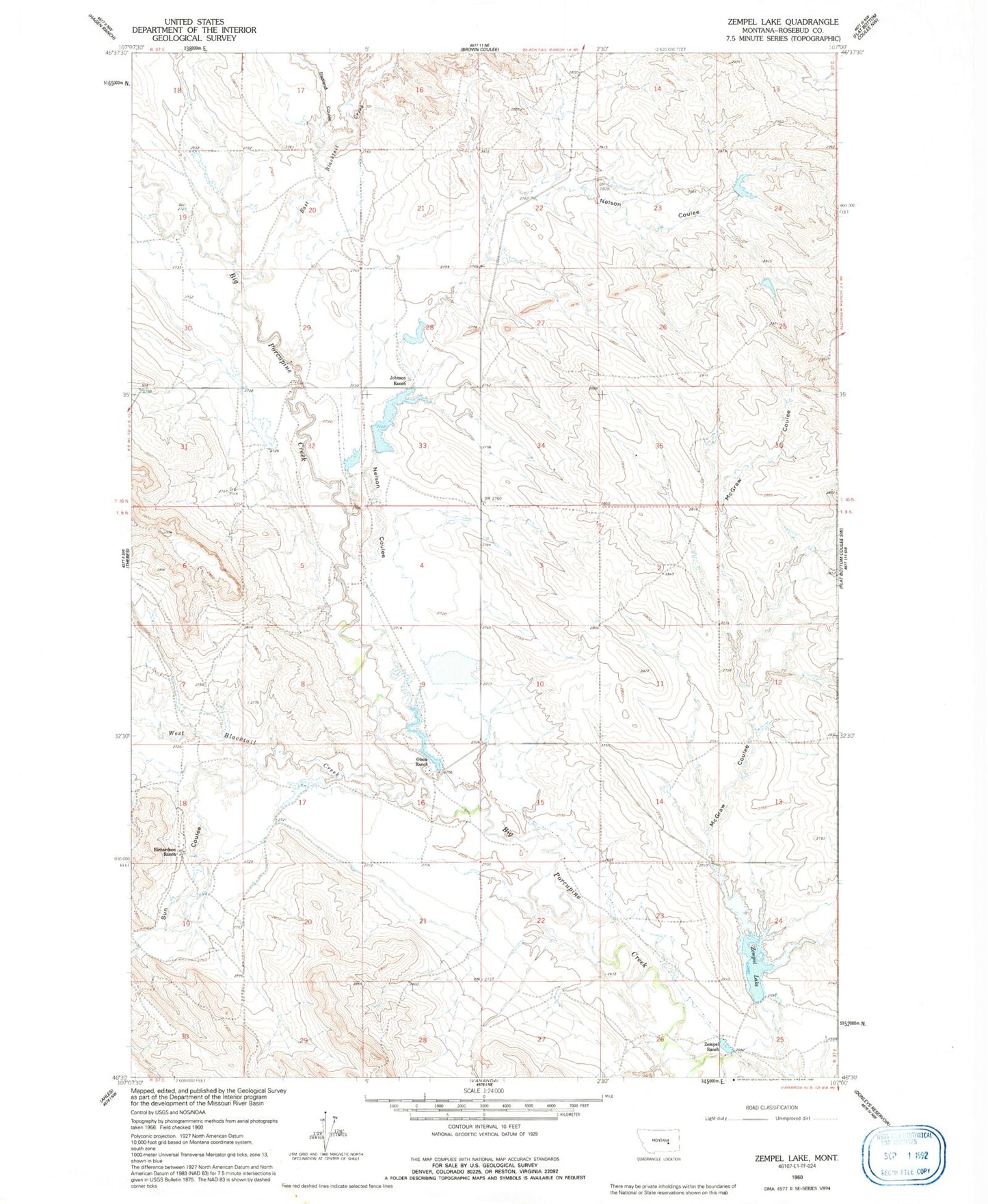
Classic USGS Zempel Lake Montana 7.5'x7.5' Topo Map
Couldn't load pickup availability
Historical USGS topographic quad map of Zempel Lake in the state of Montana. Map scale may vary for some years, but is generally around 1:24,000. Print size is approximately 24" x 27"
This quadrangle is in the following counties: Rosebud.
The map contains contour lines, roads, rivers, towns, and lakes. Printed on high-quality waterproof paper with UV fade-resistant inks, and shipped rolled.
Contains the following named places: Antelope Post Office, B G Olson Number 1 Dam, B G Olson Number 2 Dam, Badland Coulee, Davidell Post Office, E L Johnson Number 1 Dam, East Blacktail Creek, Hunnes Number 1 Dam, J Galt Number 10 Dam, J Galt Number 7 Dam, J Galt Number 8 Dam, Johnson Ranch, McGraw Coulee, Nelson Coulee, Nelson School, Olson Ranch, Richardson Dam, Richardson Ranch, Scott Lake School, Sun Coulee, West Blacktail Creek, Z Cake Dam, Zempel Dam, Zempel Lake, Zempel Ranch