MyTopo
Classic USGS Zetus Mississippi 7.5'x7.5' Topo Map
Couldn't load pickup availability
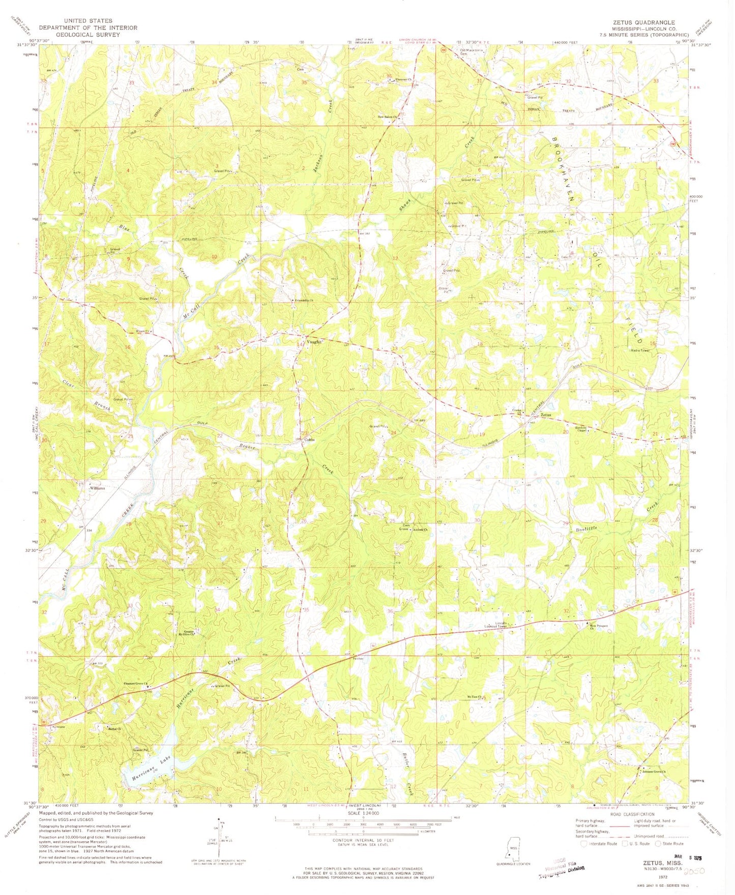
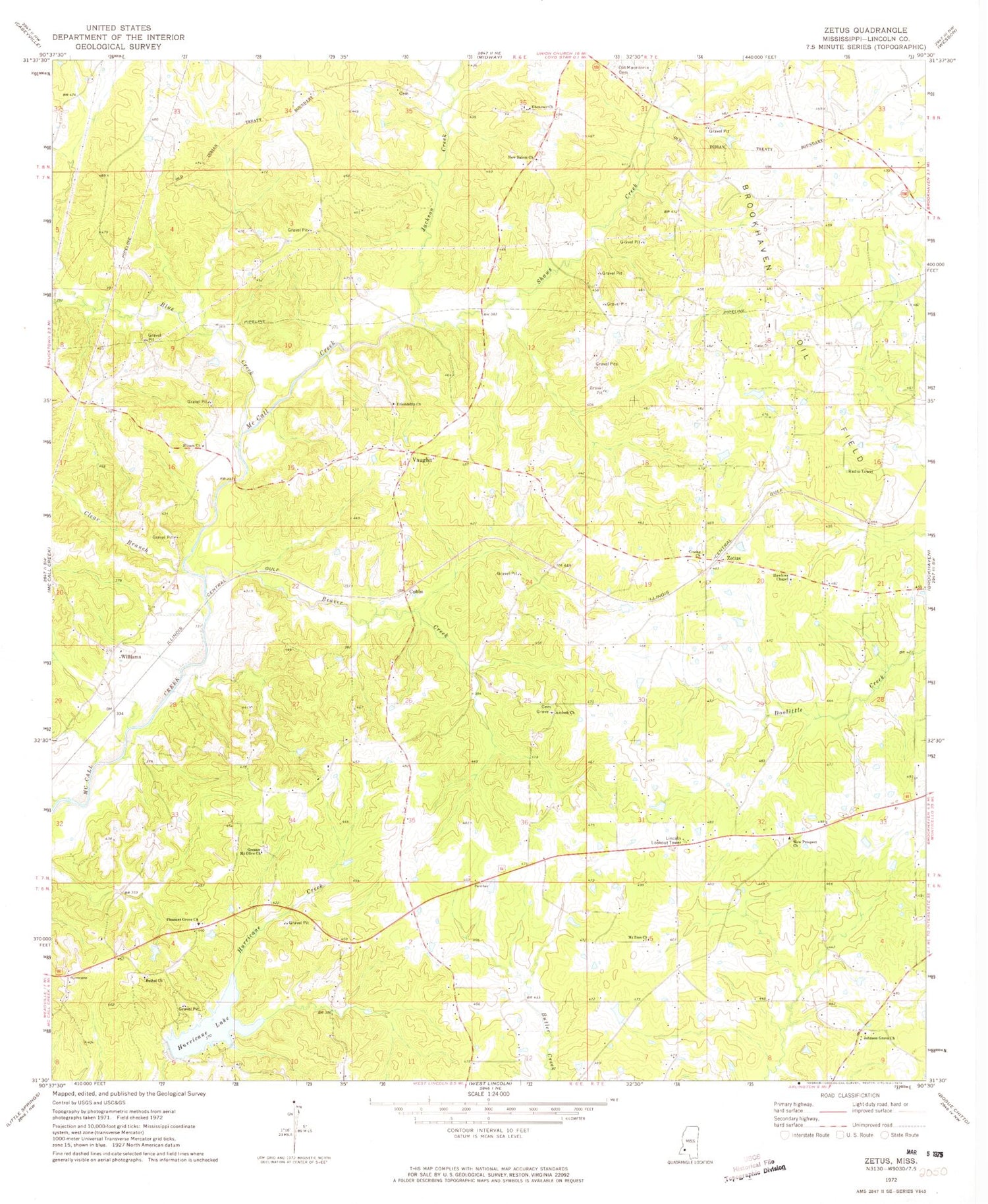
Historical USGS topographic quad map of Zetus in the state of Mississippi. Map scale may vary for some years, but is generally around 1:24,000. Print size is approximately 24" x 27"
This quadrangle is in the following counties: Lincoln.
The map contains contour lines, roads, rivers, towns, and lakes. Printed on high-quality waterproof paper with UV fade-resistant inks, and shipped rolled.
Contains the following named places: Antioch Church, Beaver Creek, Bethel Church, Blue Creek, Brookhaven Oil Field, Clear Branch, Cobbs, Crump Church, Ebenezer Church, Edwards School, Foster Lake Dam, Friendship Church, Greater Mount Olive Church, Hawkins Chapel, Hog Branch, Hurricane Lake, Hurricane Lake Dam, Jackson Creek, Johnson Grove Church, Lincoln Lookout Tower, McCalls Creek Precinct, Mount Zion Church, New Prospect Church, New Salem Church, Ollie School, Pleasant Grove Baptist Church, Pleasant Grove Cemetery, Progress School, Shaws Creek, Siloam Church, Supervisor District 5, Vaughn, Williams, Zetus, Zetus Volunteer Fire Department Station 1