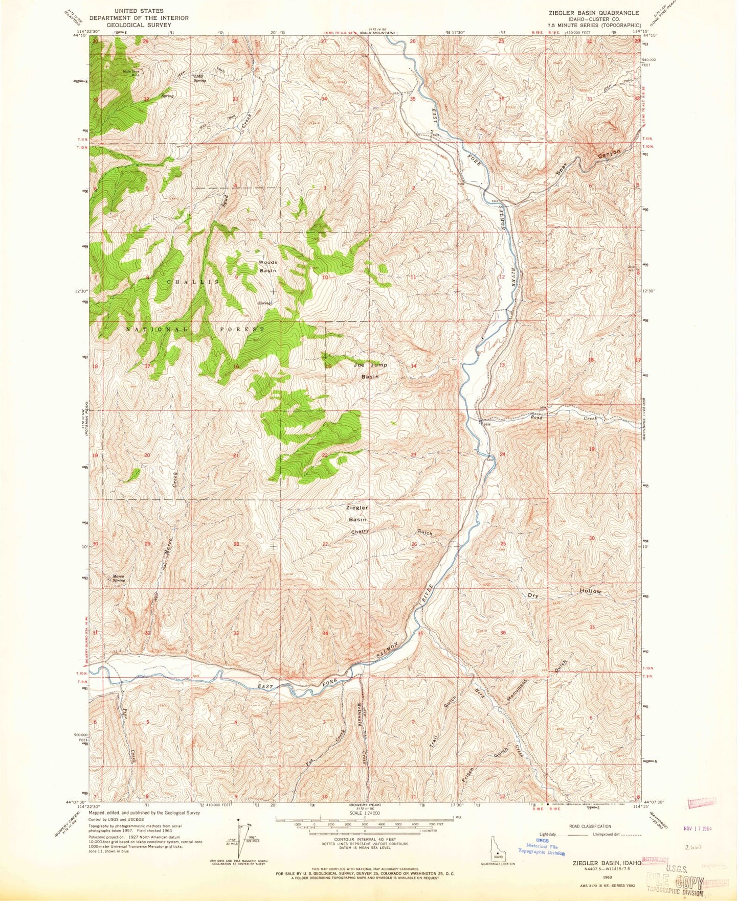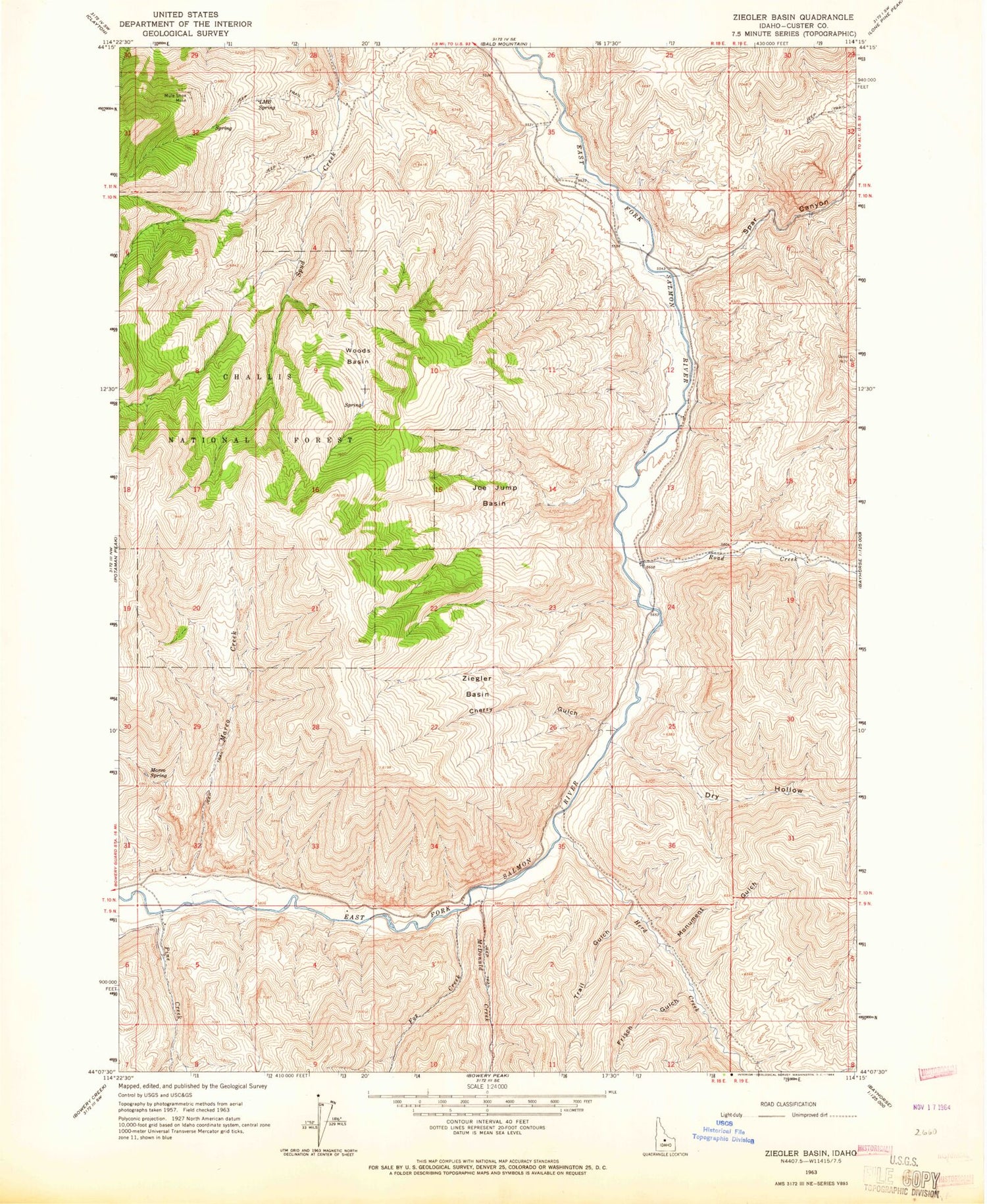
MyTopo
Classic USGS Ziegler Basin Idaho 7.5'x7.5' Topo Map
Regular price
$16.95
Regular price
Sale price
$16.95
Unit price
per
Couldn't load pickup availability
Historical USGS topographic quad map of Ziegler Basin in the state of Idaho. Map scale may vary for some years, but is generally around 1:24,000. Print size is approximately 24" x 27"
This quadrangle is in the following counties: Custer.
The map contains contour lines, roads, rivers, towns, and lakes. Printed on high-quality waterproof paper with UV fade-resistant inks, and shipped rolled.
Contains the following named places: Cherry Gulch, Custer County, Dry Hollow, East Fork School, Fox Creek, Frisch Gulch, Herd Creek, Joe Jump Basin, LMB Spring, Marco Creek, Marco Spring, McDonald Creek, Monument Gulch, Mule Shoe Mine, Pine Creek, Road Creek, Spar Canyon, Trail Gulch, Woods Basin, Ziegler Basin