MyTopo
Classic USGS Zion Arkansas 7.5'x7.5' Topo Map
Couldn't load pickup availability
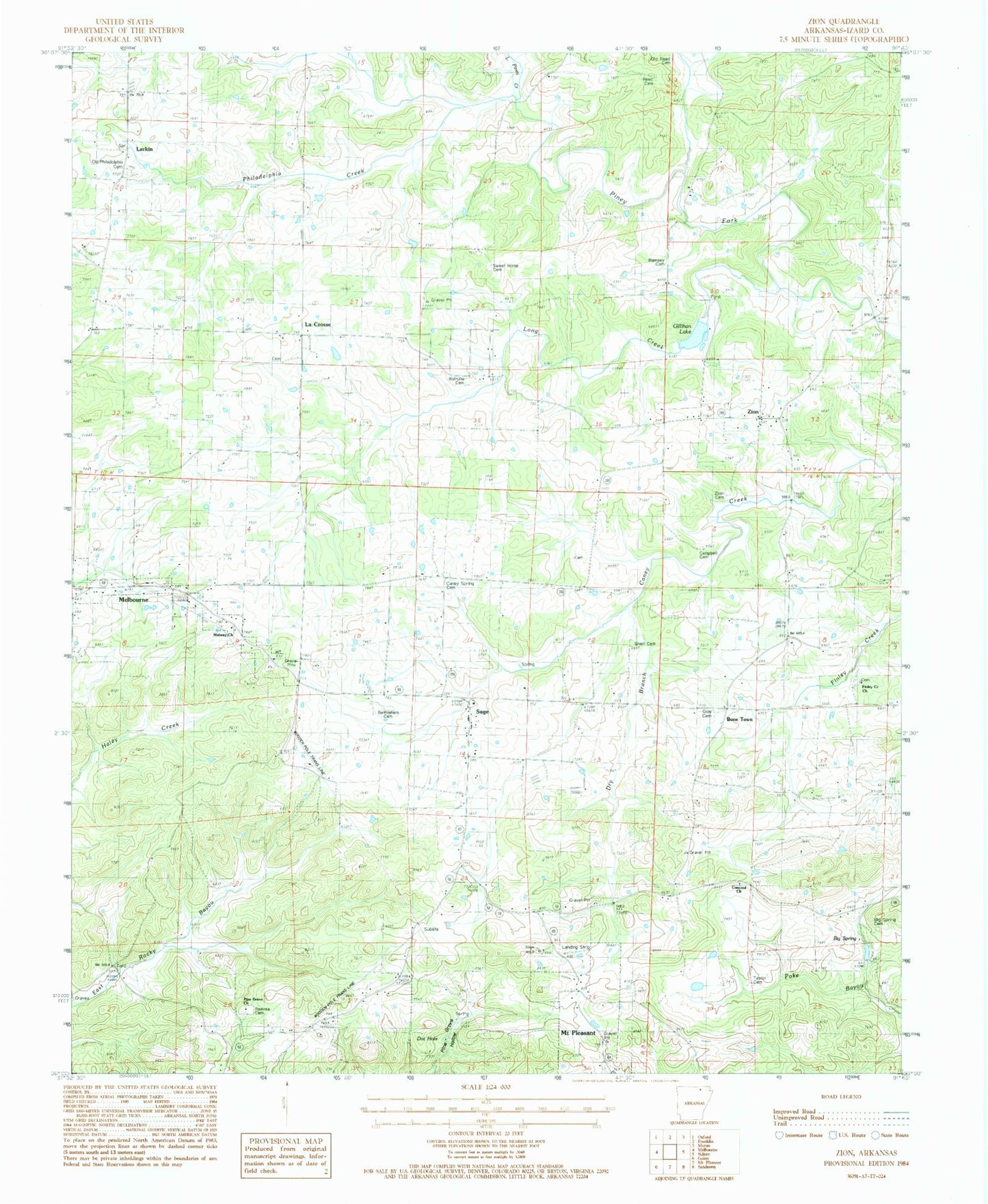
Historical USGS topographic quad map of Zion in the state of Arkansas. Map scale may vary for some years, but is generally around 1:24,000. Print size is approximately 24" x 27"
This quadrangle is in the following counties: Izard.
The map contains contour lines, roads, rivers, towns, and lakes. Printed on high-quality waterproof paper with UV fade-resistant inks, and shipped rolled.
Contains the following named places: Bathelhem Cemetery, Battles Post Office, Bethlehem Cemetery, Bethlehem Church, Big Spring, Big Spring Cemetery, Bone Town, Campbell Cemetery, Caney Spring Cemetery, Concord Church, Crutchfield Lake, Crutchfield Lake Dam, Cumberland Church, Davidson Field, Dot Hole, Finley Creek Baptist Church, Gillihan Lake, Gray Cemetery, Grey Cemetery, La Crosse Post Office, LaCrosse, Larkin, Little Piney Creek, Long Creek, Melbourne Elementary School, Melbourne High School, Melbourne Municipal Airport - John E Miller Field, Melbourne Volunteer Fire Department Station 1, Midway Baptist Church, Old Philadelphia Cemetery, Old Reed Cemetery, Philadelphia Creek, Philadelphia Methodist Church, Pine Grove Church, Ramsey Cemetery, Reed Cemetery, Reeves Cemetery, Sage, Sage Baptist Church, Sage Lookout Tower, Sage Post Office, Shell Cemetery, Stella, Sweet Home Cemetery, Sweet Home Church, Taylor Cemetery, Township of Lacrosse, Township of Pleasant Hill, Township of Sage, Watkins Cemetery, Zion, Zion Cemetery, Zion Hill Baptist Church, Zion Post Office, Zion Volunteer Fire Department, ZIP Code: 72573