MyTopo
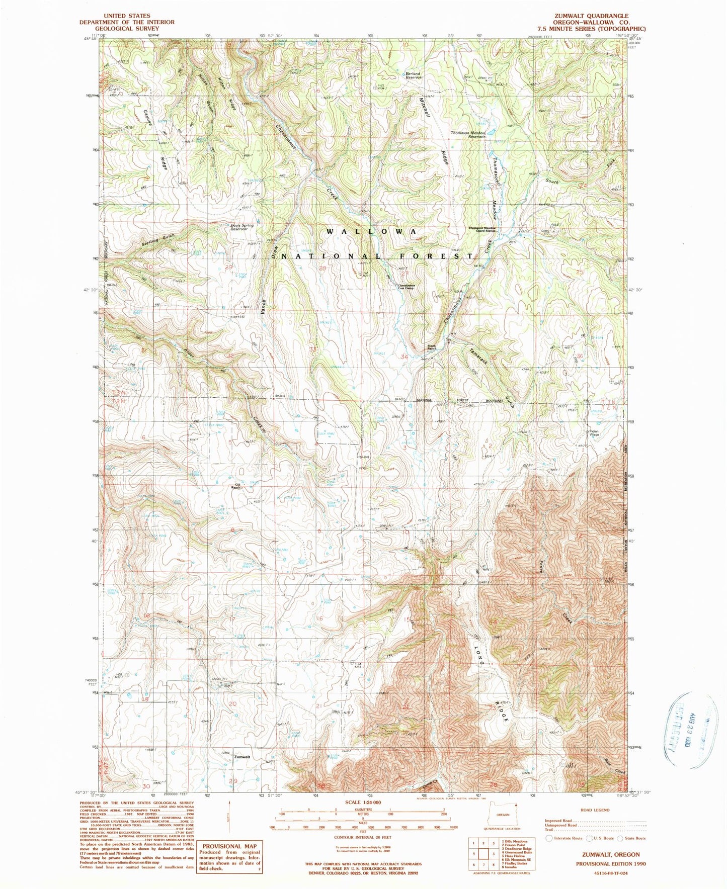
Classic USGS Zumwalt Oregon 7.5'x7.5' Topo Map
Couldn't load pickup availability
Historical USGS topographic quad map of Zumwalt in the state of Oregon. Map scale may vary for some years, but is generally around 1:24,000. Print size is approximately 24" x 27"
This quadrangle is in the following counties: Wallowa.
The map contains contour lines, roads, rivers, towns, and lakes. Printed on high-quality waterproof paper with UV fade-resistant inks, and shipped rolled.
Contains the following named places: Berland Reservoir, Cayuse Ridge, Chesnimnus Cow Camp, Davis Spring Reservoir, Gill Ranch, Long Ridge, Purvis Ponds, Rice Corral Spring, South Fork Chesnimnus Creek, Steen Ranch, Tamarack Gulch, Thomason Meadow, Thomason Meadow Guard Station, Thomason Meadow Reservoir, Vance Draw, Veats Draw, Zumwalt, Zumwalt Post Office, Zumwalt School