MyTopo
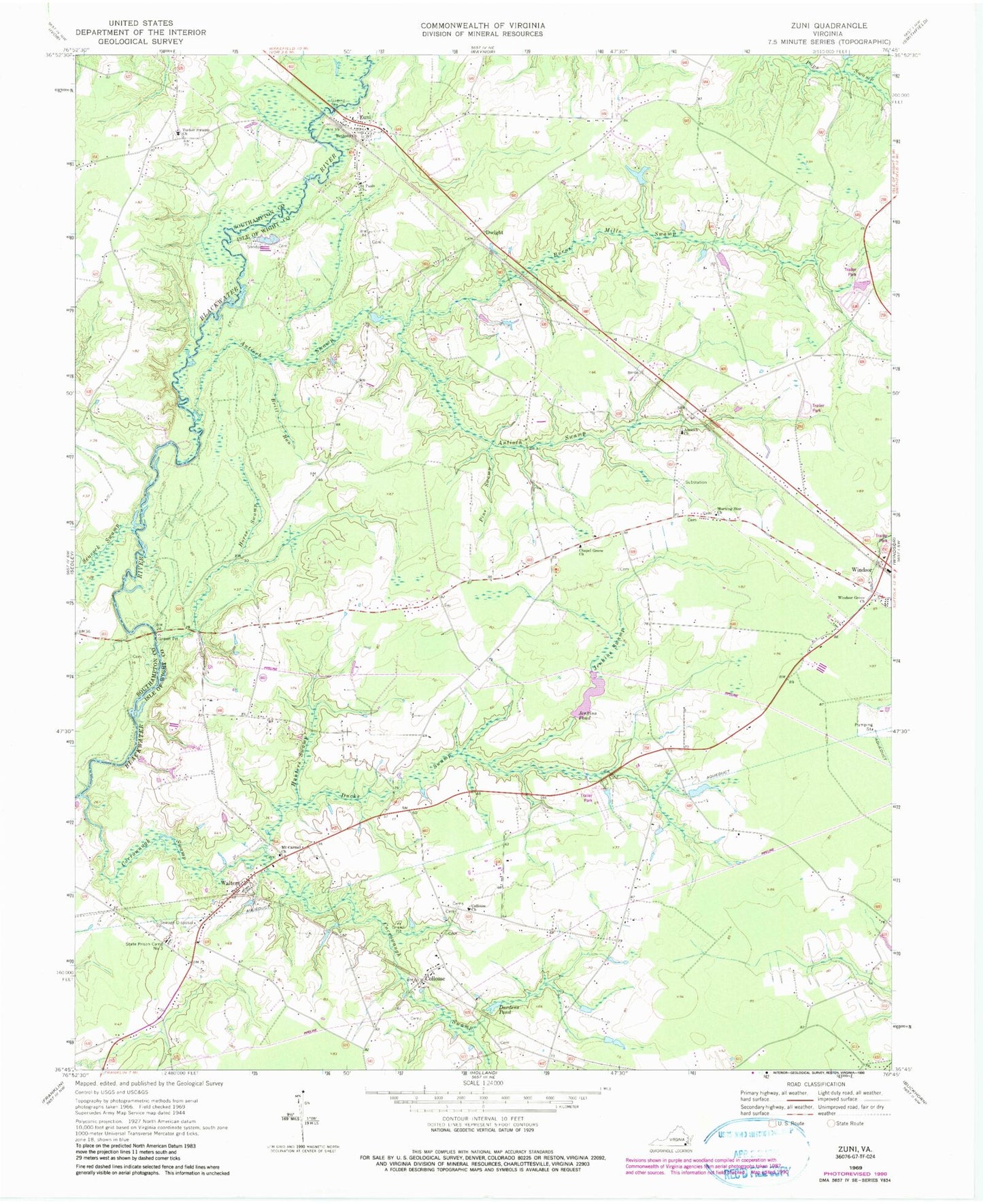
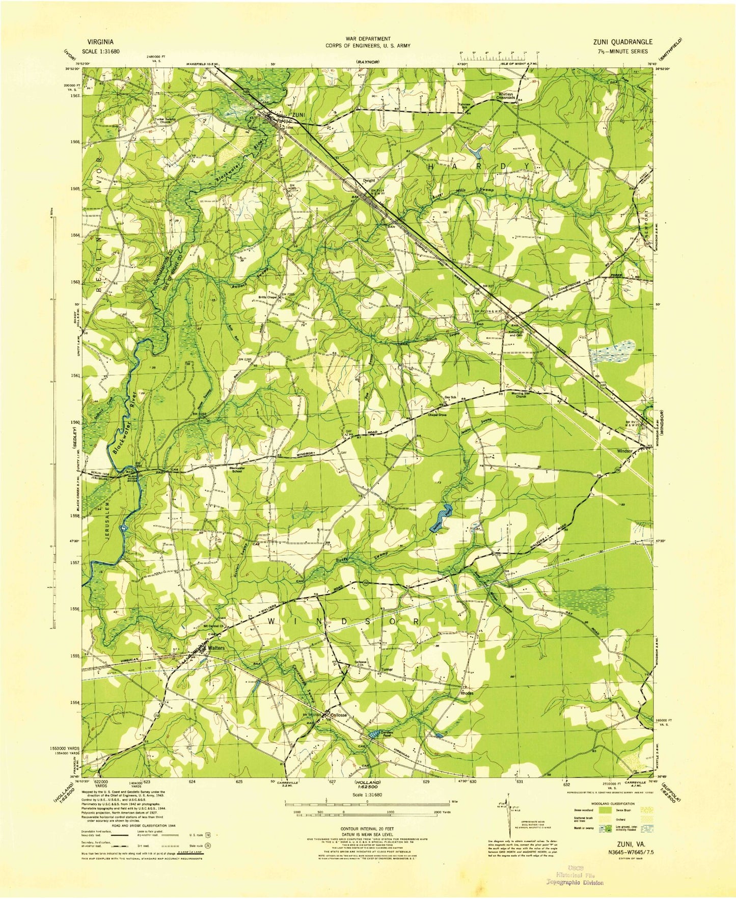
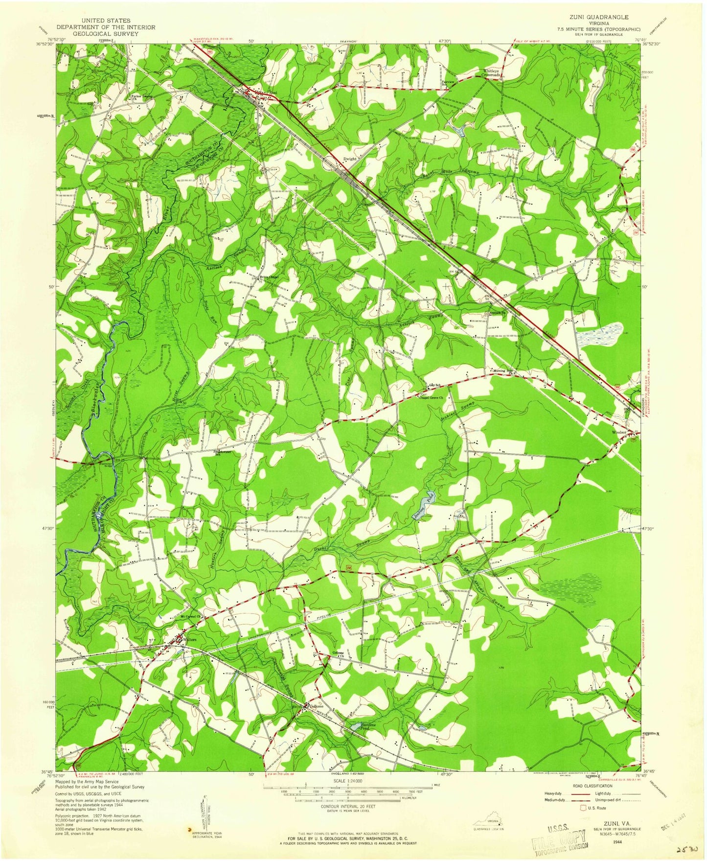
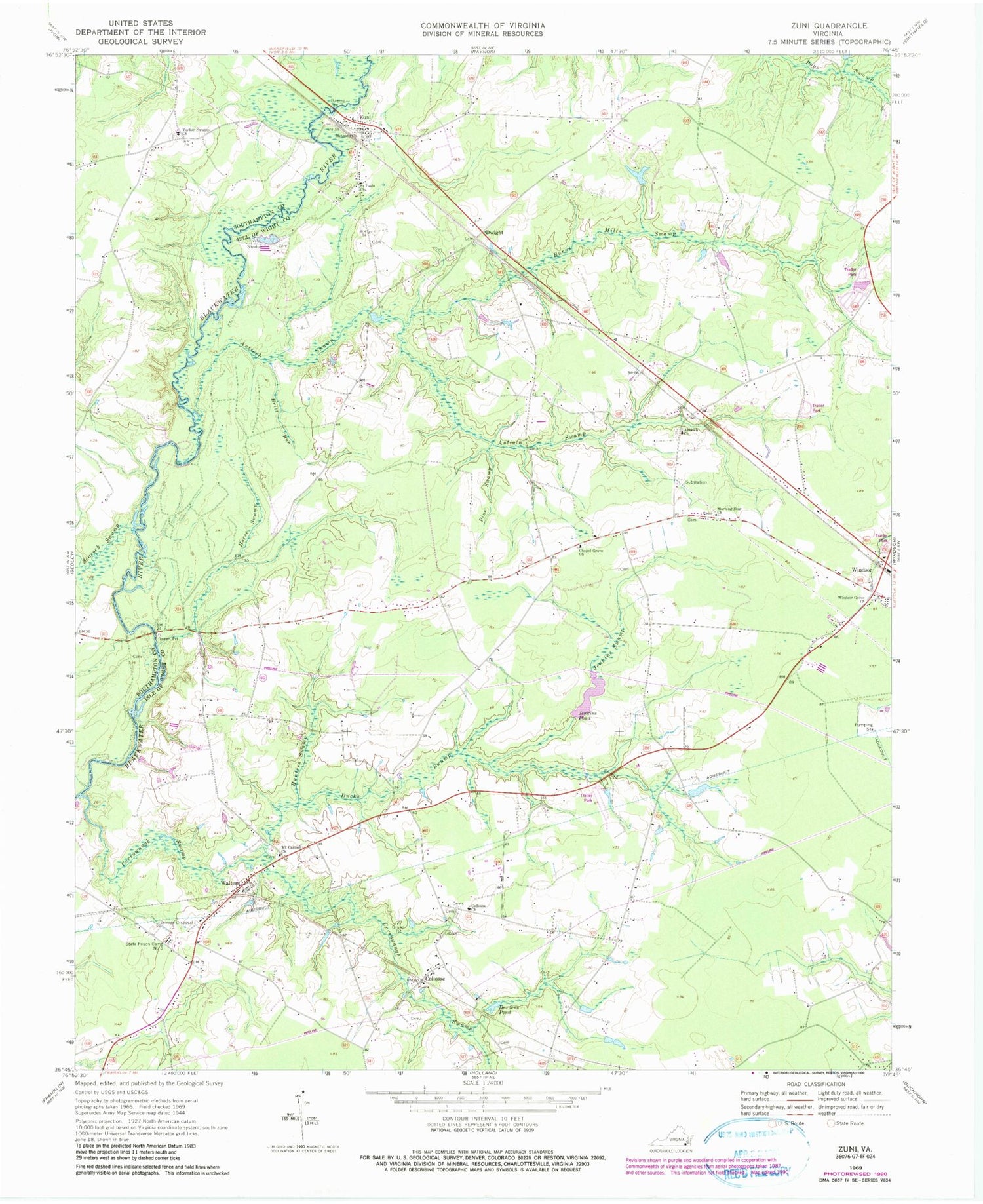
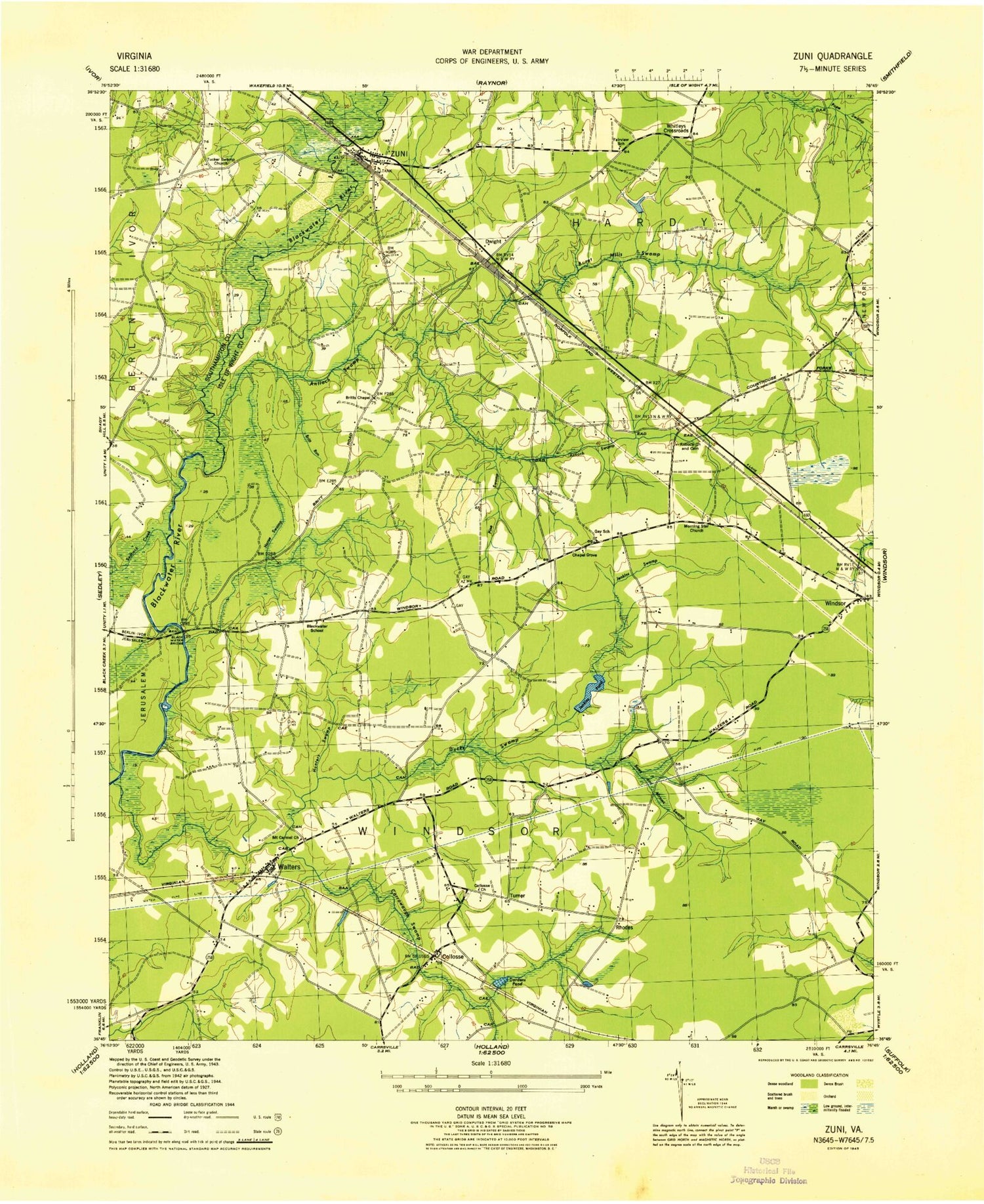
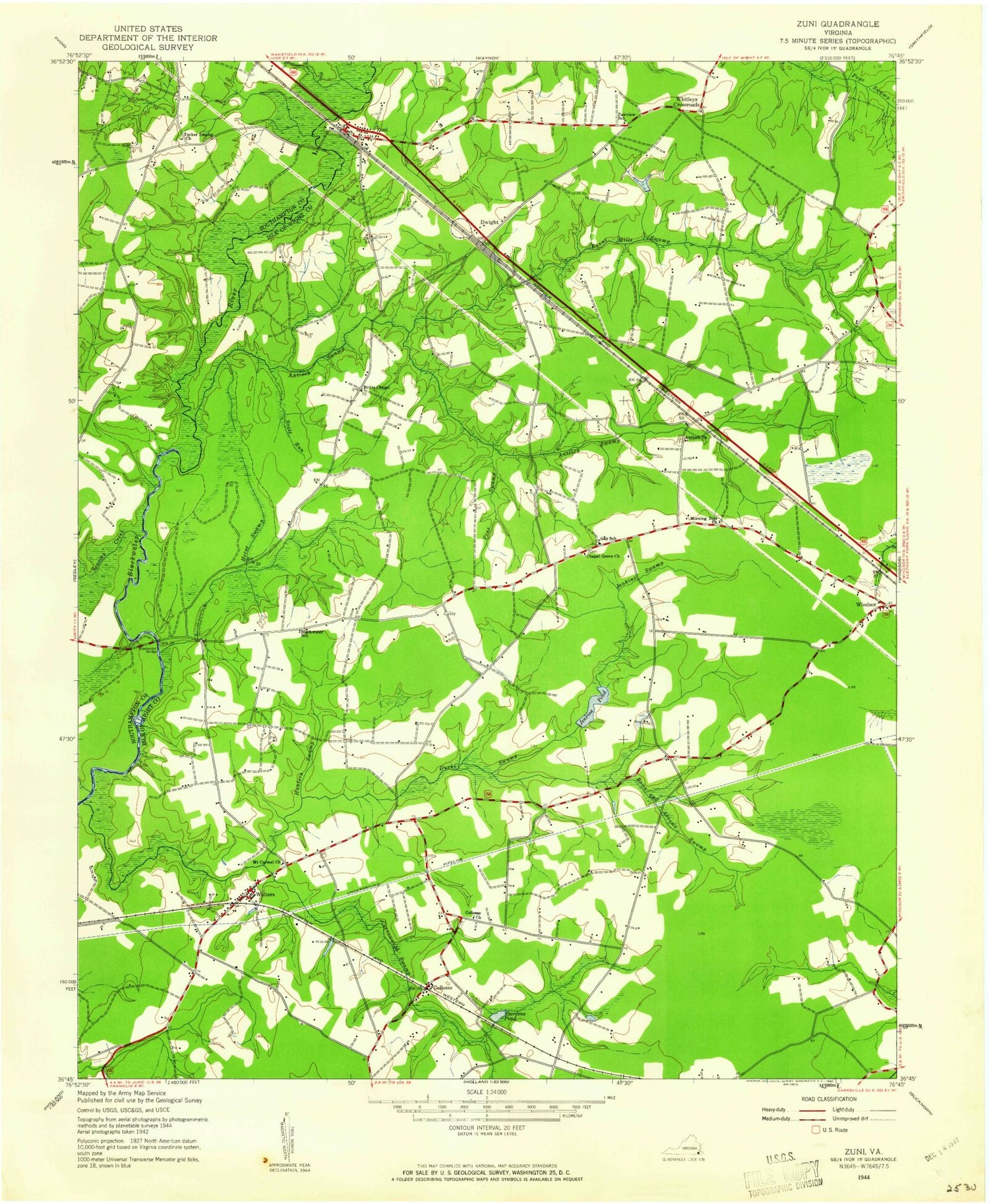
Classic USGS Zuni Virginia 7.5'x7.5' Topo Map
Couldn't load pickup availability
Historical USGS topographic quad map of Zuni in the state of Virginia. Map scale may vary for some years, but is generally around 1:24,000. Print size is approximately 24" x 27"
This quadrangle is in the following counties: Isle of Wight, Southampton, Suffolk (city).
The map contains contour lines, roads, rivers, towns, and lakes. Printed on high-quality waterproof paper with UV fade-resistant inks, and shipped rolled.
Contains the following named places: Antioch Cemetery, Antioch Church, Antioch Swamp, Bethany Presbyterian Church, Blackwater Bridge, Blackwater Bridge Boat Ramp, Blackwater School, Bows and Arrows Swamp, Britt Run, Britts Chapel, Burnt Mills Swamp, Carrsville District, Chapel Grove Church, Collosse, Collosse Church, Corrowaugh Swamp, Dardens Pond, Ducks Swamp, Dwight, Fairview School, Gay School, Horse Swamp, Hunters Swamp, Jenkins Dam, Jenkins Pond, Jenkins Swamp, Leland Duck's Trailer Park, Morning Star Church, Mount Carmel Church, Oaks Mobile Estates, Pine Swamp, Rhodes, Saint Pauls Church, Seacock Swamp, Southern Belleturf Farms, State Prison Camp Number 3, Tucker Swamp, Tucker Swamp Church, Turner, WAFX-FM (Suffolk), Walters, Whitleys Crossroads, Windsor Grove Church, Zuni, Zuni Post Office, ZIP Code: 23898
