MyTopo
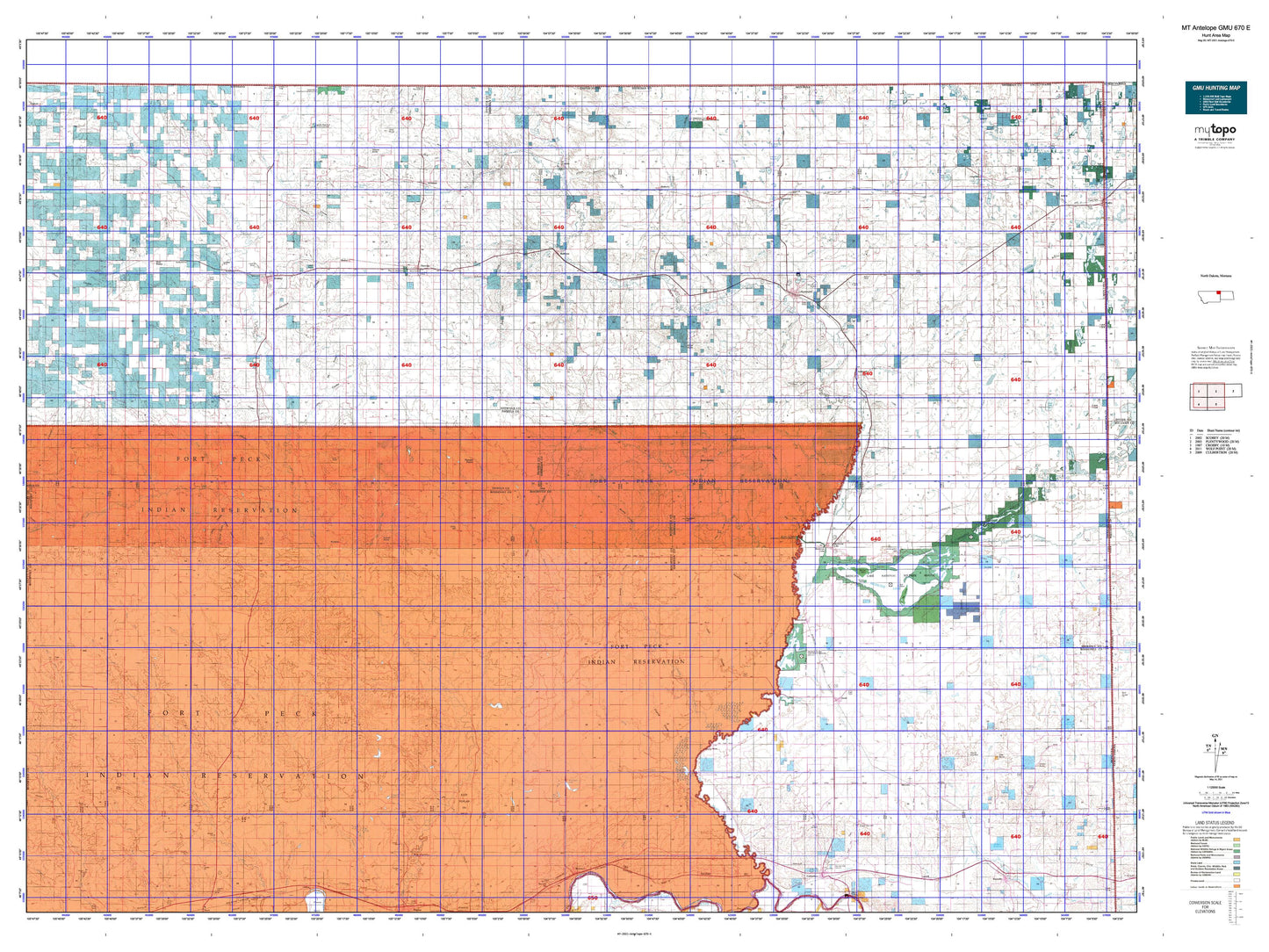
Montana Antelope GMU 670 E Map
Couldn't load pickup availability
Hunting unit map of Montana Game Management Unit Antelope-670-E with topographic lines and unit boundaries. This topo map features UTM / MGRS and Latitude/Longitude grids, plus public land ownership. It comes folded on waterproof paper. Be fully prepared for your hunt with a MyTopo GMU map!.
This map contains the following named places: 59211,59213,59222,59226,59242,59247,59252,59254,59255,59256,59257,59258,59263,59276,Ag Grain Incorporated,Alton Mine,Anderson,Antelope,Antelope Creek,Antelope Grain Company,Archer,Assiniboine Creek,Ator Creek,Badger Creek,Bears Nest,Beaver Creek,Bedford,Benrud,Bertino Reservoir,Biem,Big Island,Big Muddy Golf Club,Bolster Dam Campgrounds,Box Elder Creek,Boxelder Creek,Boxelder Lake,Boyd,Bredette,Brenna Trailer Court,Brockton,Brockton District,Bruces Island,Butte Creek,Capeneys Lake,Castle Rock,Chris Hill,City of Plentywood,City of Scobey,Clover,Columbia Grain International Incorporated,Cottonwood Creek,Crandall Reservoir,Crazy Horse Creek,Culbertson Creek,Cuskers House,Daleview,Dam Number 1,Dam Number 10,Dam Number 4,Daniels County,Daniels County Fairgrounds,Daniels County Farmers Elevator,Devils Kitchen,Diversion Ditch Number One,Dooley,Duck Lake,Eagle Creek,East Fork Poplar River,East Poplar Oil Field,East Roosevelt Division,East Shotgun Creek,Farmers Co-Op Elevator,Farmers Elevator,Farmers Elevator Company of Froid,Farmers Elevator Company of Froid - Elevator Number One,Farmers Elevator Company of Outlook,Farmers Union Grain Terminal Association Elevator,Fjeseth Field,Flagstaff Hill,Flaxville,Flaxville Waterfowl Production Area,Flea Creek,Ford Creek,Fort Kipp District,Fort Peck Indian Reservation,Fort Peck Reservation Division,Four Buttes,Four Buttes Farmers Elevator,Froid,Froid Elevator Company of Froid - Elevator Number Two,Geddart Lake,Give Out Morgan Creek,Gull Island,Hansen-Barzen Elevator,Harry DeSilva City Park,Harrys Creek,Hass Farms Elevator,Hay Creek,Homestead,Homestead Elevator,Homestead Lake,Horseshoe Lake,Idenity Preserve Grain Company Elevator,Jagiello Waterfowl Production Area,Johnson Lake,Julian,Kahle,Kanning Elevator,Kirns Ranch,Kisler Butte,Lake Creek,Leibrands Trailer Court,Lions Campground,Little Badger Creek,Lochin Slough,Lone Tree Creek,Long Butte,Long Creek,Lost Creek,Madoc,Madoc Elevator,Malcolm Creek,Manning Lake,Marron Creek,Mattson Slough,McCabe,McCabe Brothers Elevator,McCabe Creek,McCoy Creek,McIlwain Lake,McInenly Park,McLaughlin Creek,Medicine Lake,Medicine Lake Division,Medicine Lake Memorial Park,Medicine Lake National Wildlife Refuge,Medicine Lake Wilderness,Merc,Midby,Middle Fork Eagle Creek,Middle Fork Poplar River,Mill Park,Moen,Montana - Dakota Grain Company Elevator,Montana-Dakota Elevator,Nash Brothers Incorporated Feed and Grain Elevator,Navajo,Neiser Creek,North Fork Eagle Creek,North Fork Tule Creek,Olson Trading,Otter Creek,Outlet Creek,Outlook,Paradis Pond,Park Lake,Plainsmen Field,Pleasant Prairie,Plentywood,Plentywood Can-Am RV Park,Plentywood Creek,Plentywood Division,Plentywood Golf Club,Police Creek,Polly Park,Poplar District,Prairie States Cooperative,Raymond,Raymond Community Hall,Raymond Park and Recreation Area,Redstone,Redstone Creek,Redstone Grain Company,Reserve,Reserve Creek,Riv-R-Vu Drive-In,Rock Crossing,Rock Springs,Roosevelt County,Roosevelt County Waterfowl Production Area,Roseland Park,Sage Creek,Sand Creek,Schnitzler Ranch,Scobey,Scobey Division,Scobey Golf Course,Scott Creek,Sheep Creek,Sheridan County,Sheridan County Fairgrounds,Sheridan Grain Company Plentywood Station,Shermont Electric and Grain,Sherwood Park,Short Creek,Silver Lake,Silver Star Hall,Slab Crossing,Smoke Creek,Snake Creek,Soo,South Fork Antelope Creek,South Fork Whitetail Creek,Sportsman Park,Spring Creek,Square Butte,Sugar Top Hill,Sunset Movie Drive-in Theatre,Syme Slough,Thornwood Ranch,Town of Flaxville,Town of Froid,Town of Medicine Lake,Town of Outlook,Town Park,Trails End Trailer Court,Umbrights Hill,Vivs Trailer Court,Wanso,West Fork Poplar River,West Fork Tule Creek,West Shotgun Creek,West's Ranch,Whitetail,Whitetail Creek,Whitetail Grain Company Elevator,Whitetail Reservoir,Whitetail Reservoir Fishing Access Site,Willard Slough,Windy Butte,Winter-Truesdell-Ames Elevator,Wolf Creek,Wolf Point District,Wood Mountain Trail Historical Marker,Youngs Island