MyTopo
Montana Antelope GMU 701 W Map
Couldn't load pickup availability
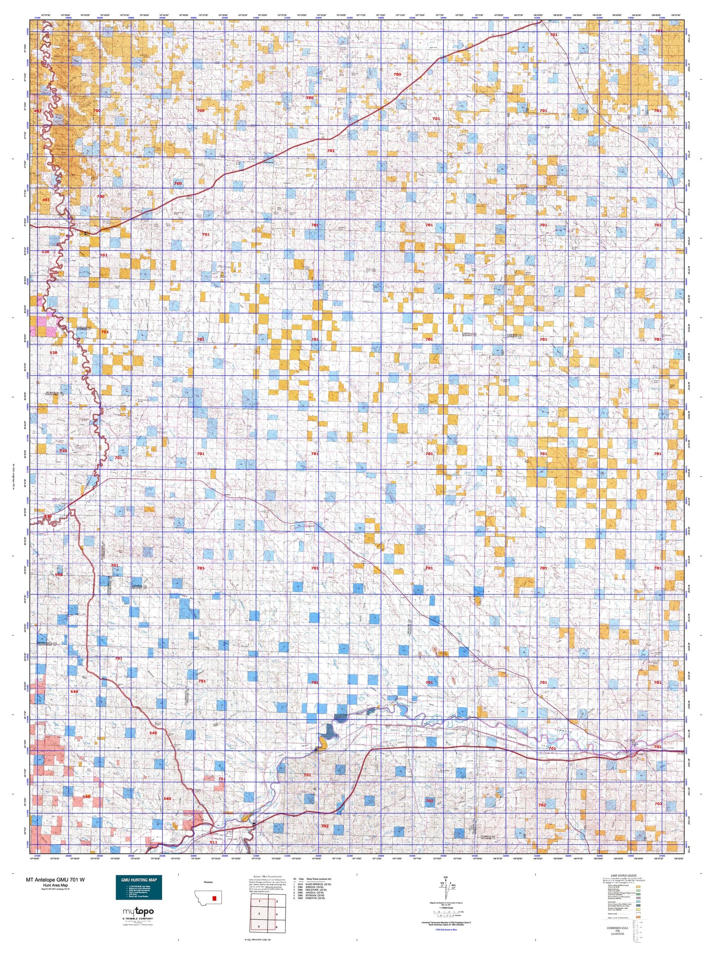
Hunting unit map of Montana Game Management Unit Antelope-701-W with topographic lines and unit boundaries. This topo map features UTM / MGRS and Latitude/Longitude grids, plus public land ownership. It comes folded on waterproof paper. Be fully prepared for your hunt with a MyTopo GMU map!.
This map contains the following named places: Absolen Reservoir,Acorn Creek,Adams Rocky Butte,Ahles,Aldinger Ranch,Alice,Alkali Creek,Amelia Island Fishing Access Site,Anad,Anderson Creek,Antelope Creek,Antwerp,Armells Creek,Badger Creek,Bascom,Basin Creek,Battleship Butte,Beaverball Creek,Bender Hill,Benzien,Big Porcupine,Big Porcupine Creek,Birkrem Reservoir,Black Butte,Black Sea Reservoir,Blacktail Butte,Blacktail Creek,Blacktail Ranch,Blacktail Reservoir,Blazier Butte,Boslough Butte,Box Elder Creek,Brockel Homestead,Brown Coulee Reservoir,Brown Ranch,Bruce,Brunelda,Buffalo and Indians Historical Marker,Buffalo Scott Butte,Butte Creek,Camp Creek,Castle Butte,Cherry Creek,Chimney Crossing,Coal Bank Creek,Coffin Butte,Cold Spring,Cold Spring Ranch,Corny Coulee Reservoir,Cottonwood Creek,Cottonwood Tree Lakes,Cox Butte,Coyote Creek,Crown Butte,Darby Buttes,Donleys Reservoir,Dry Fork Calf Creek,Dutton Ranch,Eagle Rock,East Blacktail Creek,East Buffalo Creek,East Fork Fortysix Creek,East Fork Froze to Death Creek,East Fork Long Branch Creek,East Fork Longfork Creek,Edwards,Edwards Creek,Eldering Ranch,Elephant Butte,Emma Butte,Erickson Ranch,Etchetah,Fig Mountain,Finch,Finch Ranch,Fish Creek,Forsyth Country Club,Fort Alexander,Fort Pease,Fort Sarpy,Forty-five Creek,Forty-four Creek,Fortysix Creek,Fourteen Reservoir,Fox Homestead,Freedom,Froehlich Butte,Froze to Death Creek,Froze-to-Death,Galbraith,Garfield County,Garverich Ranch,Gold Butte,Greasewood Creek,Grebe Ranch,Grisdella,Guesanborn Reservoir,Guthridge Ranch,Hagen Ranch,Haines Reservoir,Haislett Creek,Hauck Ranch,Hawks Nest,Hay Creek,Hecker Ranch,Heist Creek,Hibbard,Horse Creek,Horton Reservoir,Howard,Howrey Island,Hysham,Hysham Community Elevator,Hysham Rest Area,Indian Creek,Ingomar,Joe Ott Butte,Johnson Ranch,Kerns Reservoir,Kesterson Ranch,Kincheloe Camp,Kincheloe Ranch,Kirby Ranch,Kirts Butte,Kramer Ranch,Krieder Reservoir,Larsen Ranch,Larsens Reservoir,Little Breed Creek,Little McGinnis Creek,Living Ash Creek,Lone Tree Creek,Long Branch,Long Branch Creek,Longfork Creek,Lower Blacktail Reservoir,Mail Box Hill,Manlove Butte,Mardis Ranch,Martin,Mashesky Reservoir,Matovich Ranch,Maudru Spur,McDonald Creek,McDonald Ranch,McGinnis Butte,McGinnis Creek,McGlen Buttes,McGraw Butte,McLains,McTwigan Butte,McTwiggan,Mexican Buttes,Middle Fork Allen Creek,Middle Fork Edwards Creek,Middle Fork Froze to Death Creek,Middle Fork Horse Creek,Middle Fork Lodgepole Creek,Mother Butte,Mows Butte,Mud Lake,Muggins Creek,Muggins Taylor Flat,Myers,Myers Bridge Fishing Access Site,Myers Siding,Mysse Ranch,Neiter Butte,Nell Creek,Nichols,Nichols Wye,Ninemile Hill,North Fork Allen Creek,North Fork Edwards Creek,North Fork Horse Creek,North Fork Lodgepole Creek,North of the Yellowstone Division,North Treasure Division,O'Connor Ranch,O'Day Butte,Old Lake,Olson Ranch,Rahway,Rancher,Rankin Camp,Rattlesnake Butte,Rattlesnake Buttes,Rea,Reservation Creek,Richardson Ranch,Rimrock Ranch,Robbers Roost,Rosebud County,Sand Springs,Sanders,Santo Arroyo Creek,Sarpy Junction,Schlesinger Ranch,School Butte,South Garfield Division,Split Reservoir,Stacy Island Fishing Access Site,Steel Mule Reservoir,Steie Ranch,Stellar Lake,Steve Forks,Strop Butte,Stroud Reservoir,Sumatra,Sweeler Homestead,Teds Reservoir,Ten Reservoir,The Yellowstone by Wallace McRae Historical Marker,Thebes,Thebes Lake,Thomas Butte,Thomas Ranch,Timber Butte,Tindall,Tindall Divide,Town of Hysham,Treasure County,Turner Butte,Twin Butte,Twin Buttes,Twin Tops,Vananda,Vanstel,Waddington Dome,Wagner Reservoir,Wheatcroft Reservoir,Yablonski Ranch,Zempel Lake,Zempel Ranch,Zent Hardware Company Elevator


