MyTopo
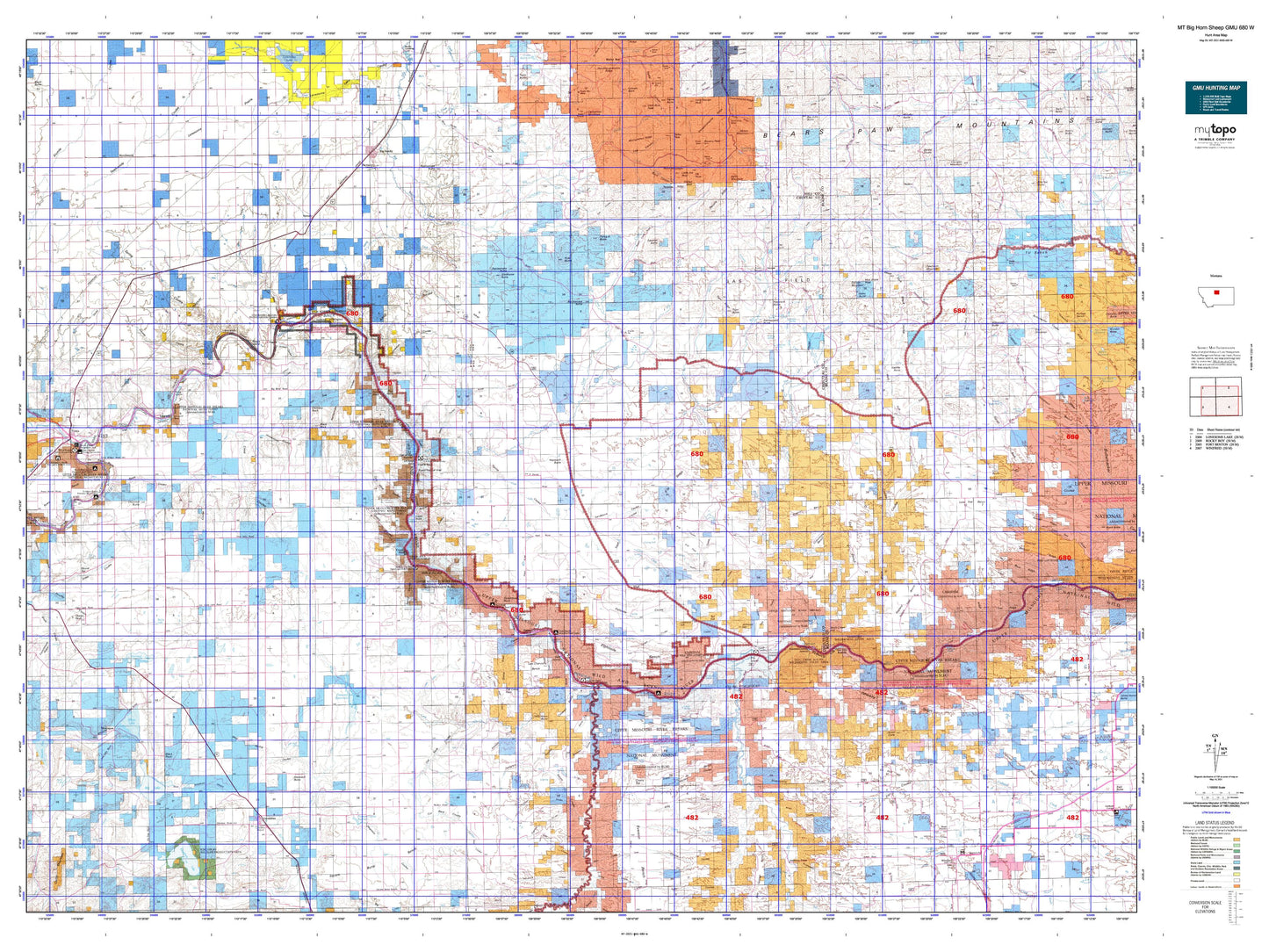
Montana Big Horn Sheep GMU 680 W Map
Couldn't load pickup availability
Hunting unit map of Montana Game Management Unit BHS-680-W with topographic lines and unit boundaries. This topo map features UTM / MGRS and Latitude/Longitude grids, plus public land ownership. It comes folded on waterproof paper. Be fully prepared for your hunt with a MyTopo GMU map!.
This map contains the following named places: 59446,59520,Alder Creek,Amisk Pond,Archers Island,Arrow Creek,Bailey Peak,Baldy Mountain,Battle Creek,Bear Paw Ski Bowl,Big John Butte,Big Lake,Big Sandy,Big Sandy Division,Big Sandy Trailer Court,Birch Creek,Birch Creek Hill,Black Mountain,Black Rock,Blue Stone Peak,Boggs Island,Bowery Peak,Cabin Creek,Cairo,Canavan Bench,Centennial Mills Incorporated Elevator,Centennial Mountain,Central Montana Cooperative Elevator,Chase Hill,Cherry Top,Chimney Rock,Chip Creek,Chouteau County,Chouteau County Waterfowl Production Area,Churchill Bend,Churchill Butte,Citadel Rock,Clagget Hill,Clear Lake,Clydes Creek,Coal Banks Landing,Coal Spur,Coalbanks Campground,Coalbanks Recreation Area,Connely Creek,Corrigan Mountain,Council Island,Cracins Independent Elevator,Crow Coulee Bar,Cummings Bench,Cutbank Creek,Dammel Reservoir,Dark Butte,Dog Creek,Eagle Buttes,Eagle Creek,Eagle Creek Fishing Access Site,Eagle Rock,Eagleton,East Fork Beaver Creek,East Fork Beaver Creek Reservoir,East Fork Birch Creek,East Fork Clear Creek,East Ophir,Echo Butte,Eightmile Bench,Elk Creek,Elk Peak,Elkhorn Mountain,Eskay,Evers Bench,Evers Ranch,Everson,Everson Community Hall,Flat Creek,Flying A Butte,Fort Chardon,Fort Chardon Historical Marker,Fortress Rock,Fourmile Hill,Freeman Brothers Elevator,Frenchman Creek,General Mills Incorporated Elevator,Gerald Kane Dam,Geraldine,Geraldine Division,Godfrey Creek,Goin Creek,Golf Bench,Gorman Creek,Green Creek,Greens Bench,H Earl Clack Elevator,Harvest States Cooperatives Elevator,Harwood Lake,Harwood Stage Station,Hawarden Hall,Haystack Butte,Hole in the Wall Trail,Hole-in-the-Wall,Holmes Council Islands,Hopp,Hosey,Hungry Hollow,Iliad,Index Butte,Inga,International Elevator,Iron City Islands,Jappe Dam,Johnson Hill,Jones Cone,Judith,Judith Landing Campground,Judith Landing Historical Marker,Judith Landing Recreation Area,Judith River,Kenilworth,Kingsbury Lake,LaBarge Rock,Last Chance Bench,Lepleys Creek,Leslie Point,Lidstone Hill,Lippard,Little Bear Peak,Little Birch Creek,Little Eagle Creek,Little Joe Peak,Little Sand Creek,Little Sandy Creek,Lone Tree Bench,Lonesome Prairie,Maddux,Mahikahn Creek,Marias River,McGarry Bar,McNamara and Marlow Elevator,McNamara Butte,Missouri Bench,Missouri Wild and Scenic River,Moes Dam,Mogul Alley Ski Trail,Montague,Montana Elevator,Moses Mountain,Mount Hancock,Muddy Creek,Murphy Butte,North Bowl Ski Trail,North Fork Gorman Creek,North Winifred Dam,Oil Well Hill,Old Fort Clagget,Ophir,Otayachinas Creek,Otto Silvan Dam,Pablo Island,Panton Coulee Reservoir,Peel Creek,Pegar Fish Dam,Pilot Rock,PN Island,PN Ranch,Ragland Bench,Ranger Creek,Rattlesnake Butte,Reed Hill,Reeves Dam,Rhue Creek,Riedel,Rocky Boy Recreation Area,Rocky Lake,Rocky Mountain Elevator,Rose Creek,Rumble Creek,Ryan Butte,Saddle Rock,Saint Anthony and Dakota Elevator,Sand Creek,Sawmill Butte,Sawtooth Mountain,Scottish Creek,Screaming Eagle Ski Trail,Seifert Dam,Seifort Reservoir,Seventynine Hill,Seventynine Ranch,Sexton Coal Mines,Ship Rock,Silver King Mine,Sneath Bottom,Sour Dough Flat,South Branch Peoples Creek,South Fork Gorman Creek,Square Butte Bench,Stafford Reservoir,Steamboat Rock,Stranahan,Studhorse Butte,Sugarloaf Rock,Taffy Creek,Teacup Ski Trail,The Big Sag,The Face Ski Trail,The Little Sag,The Peak,The Rock,Three Islands,Thurston Dam,Tiger Butte,Timber Creek,Towering Heights Ski Trail,Town of Big Sandy,Town of Geraldine,Town of Winifred,Tox Hill,Verona,Virgelle,Volcano Creek,Wagon Wheel Trail,Waidman Coal Mine,Warrick,Wellen Peak,West Fork Beaver Creek,West Fork Birch Creek,West Fork Clear Creek,West Fork Sand Creek,White Lake,White Rocks,Wild Horse Butte,Winifred,Wolf Creek,Wolf Island,Yaaps Corner