MyTopo
Montana Deer/Elk GMU 210 Map
Couldn't load pickup availability
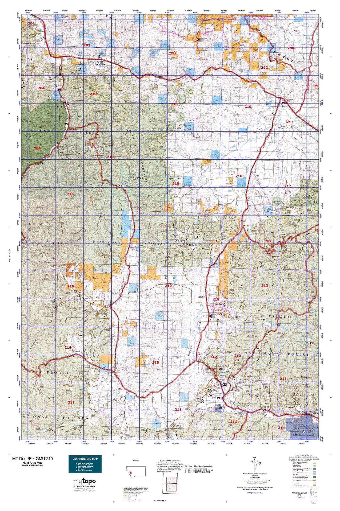
Hunting unit map of Montana Game Management Unit DEL-210 with topographic lines and unit boundaries. This topo map features UTM / MGRS and Latitude/Longitude grids, plus public land ownership. It comes folded on waterproof paper. Be fully prepared for your hunt with a MyTopo GMU map!.
This map contains the following named places: Ancon,Antelope Creek,Avon Creek,Babcock Creek,Babcock Mountain,Badger Bay Campground,Baird,Barnes Creek,Bateman Creek,Bathhouse Creek,Bear Creek,Bearmouth,Bearmouth Fishing Access Site,Bearmouth Historical Marker,Bearmouth Rest Area,Beaver Creek,Beavertail Hill,Beavertail Hill Campground,Beavertail Hill Recreation Site,Beavertail Hill State Park,Beavertail Pond Fishing Access Site,Bennett,Bighorn Campground,Bimetallic Power Plant,Birmingham Flats,Black Pine,Blakeley,Bonita,Bonita Forest Service Station,Bonita Work Center,Boulder,Boulder Creek,Bradman,Brewster Creek,Burnt Mountain,Byrne,Byrne Creek,Cable City,Cable Mountain,Cable Mountain Campground,Camp Creek,Campfire Girls Camp,Capron Creek,Carlan,Chalet Bearmouth,Clark,Clinton Rest Area,Conn Ranch,Copper Creek,Copper Creek Lakes,Corduroy Creek,Corral,Cottonwood Creek,Cow Creek,Cramer Creek,Crystal Lake,Dirty Dick Creek,Discovery Basin Ski Area,Dora Thorn Lake,Douglas Creek,Douglas Mountain,Drummond,Drummond Division,Duffy Hill,East Fork Brewster Creek,East Fork Rock Creek,East Fork Warm Springs Creek,East Hill,Echo Lake,Echo Lake Campground,Edelman Creek,Eightmile Creek,Ekstroms Stage Station,Elephant,Elkhorn Creek,Elkhorn Guest Ranch,Emmettsburg,Fields,Fisher Point,Flat Creek,Flint Creek,Flint Creek Campground,Fourth of July Creek,Franklin Hill,Fred Burr Creek,Fred Burr Lake,Frost Creek,Gaskill Creek,Georgetown,Georgetown Lake,Gilbert Creek,Gillispie Creek,Gird Creek,Goat Creek,Golden Mountain,Granite,Granite County,Granite State Park,Griffith Cabin,Grizzly Campground,Grizzly Creek,Grizzly Point,Grouse Hill,Hall,Harvey Cabin,Harvey Creek,Harvey Point,Hasmark,Hell Gate,Henderson,Henderson Creek,Henderson Mountain,Hickey Hill,Hidden Lake,Hidden Lake Hill,Hoffmans,Hogback Point,Hope Hill,Horse Canyon Creek,Inn at Philipsburg,Iris,Johnson Hill,King Mountain,Kroger Pond,Left Fork Little Bear Creek,Lindburg,Little Bear Creek,Little Fred Burr Lake,Little Gold Creek,Little Trout Creek,Lodgepole Campground,Long John Creek,Lower Warm Springs Campground,Lower Willow Creek,Lower Willow Creek Reservoir,Ludwell,Mallard Creek,Marcella Creek,Marshall Creek,Maxville,McLean Creek,Medicine Tree Fishing Access Site,Medicine Tree Hill,Middle Fork Douglas Creek,Middle Fork Warm Springs Creek,Mohave Creek,Mount Baldy,Mount Emerine,Nabbs Spur,New Chicago,Nimrod,Nirling Hill,North Fork Brewster Creek,North Fork Douglas Creek,North Fork Flint Creek,North Fork Lower Willow Creek,North Fork Spring Creek,Norton Campground,Otter Creek,Ozan,Parkerville,Pebble Beach Campground,Philipsburg,Philipsburg Bay Campground,Philipsburg Division,Piney Campground,Piney Point,Piney Point Campground,Poison Creek,Porters Corner,Powers Creek,Princeton,Quigley,Rainbow Bay Campground,Ram Mountain,Ramona Creek,Ravenna,Red Bridge Boat Launch,Red Hill,Red Lion,Red Lion Mountain,Roberts Landing,Rosalind,Ross Fork,Royal Gold Creek,Rumsey,Rumsey Mountain,Ryan Creek,Sawmill Creek,Sawmill Sportsmans Access,Scepter,Senia Creek,Sherryl,Showers Creek,Shylo Creek,Sidney Lake,Silver King Mountain,Sliderock Mountain,Smart Creek,Solomon Creek,Solomon Sportsmans Access,South Boulder Creek,South Fork Antelope Creek,South Fork Douglas Creek,South Fork Lower Willow Creek,Southern Cross,Southern Flint Creek Valley Historical Marker,Spink Point,Stephens Reservoir,Stewart Lake,Stone,Stony Creek Campground,Strawberry Mountain,Sugarloaf,Sunrise,Sunrise Mountain,Tenmile,Tenmile Creek,The Eyebrow,The Wedge,Toohy,Tower,Town of Drummond,Town of Philipsburg,Twin Peaks,Tyler,Tyler Point,Upper Warm Springs Picnic Area,Welcome Creek Wilderness Historical Marker,Welcome Hill,West Fork Buttes,West Fork Cramer Creek,West Fork Work Center,Willis,Wright Rock


