MyTopo
Montana Deer/Elk GMU 590 Map
Couldn't load pickup availability
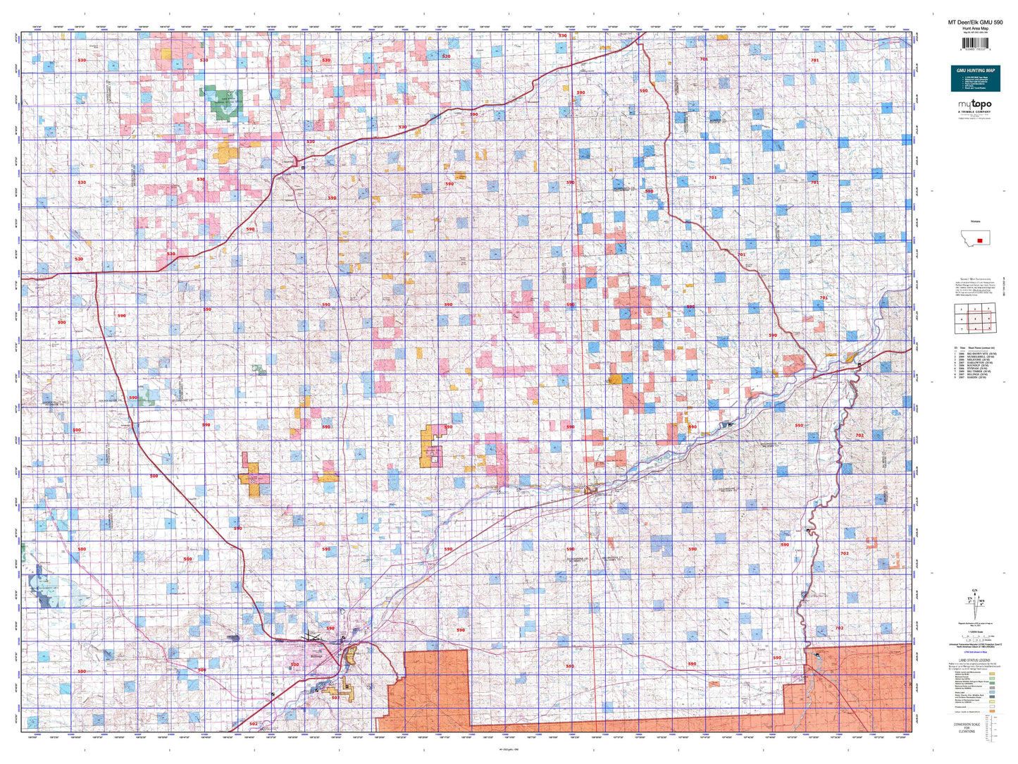
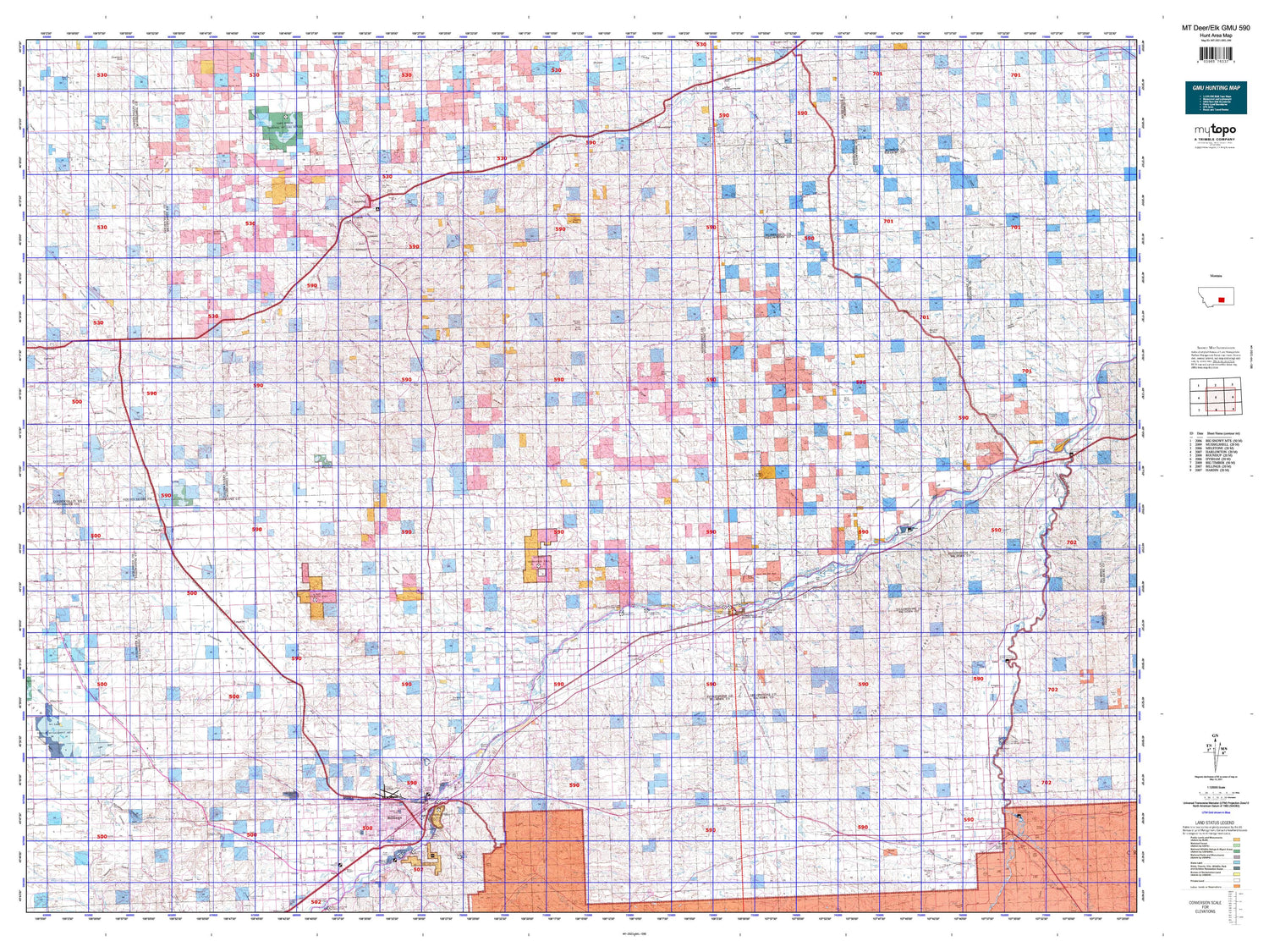
Hunting unit map of Montana Game Management Unit DEL-590 with topographic lines and unit boundaries. This topo map features UTM / MGRS and Latitude/Longitude grids, plus public land ownership. It comes folded on waterproof paper. Be fully prepared for your hunt with a MyTopo GMU map!.
This map contains the following named places: Acton,Alkali Creek,Alkali Pond,Anita,Anita Reservoir,Antelope Creek,Arrow Creek,Automatic Creek,Ballantine,Ballard Ranch,Baseline,Bender Hill,Big Coulee Creek,Big Horn County Fairgrounds,Big Horn County Softball Fields,Big Marys Island,Billings,Billings Division,Billings Heights,Billings Racetrack,Bitter Creek,Blue Creek,Blue Streak Downs,Bowman Grain and Seed Elevator,Brennan Kiddie Park,Broadview,Broadview Pond,Broadview Pond Fishing Access Site,Broken Leg Creek,Brown Creek,Buffalo Country Historical Marker,Buffalo Creek,Bull Mountain,Bundy,Busse Water,Butte Creek,Cabin Creek,Cameron Park,Camp Three,Canyon Creek,Captain Clark Fishing Access Site,Carperville,Castle Butte,Cat Creek,Cherry Island,Chimney Butte,Chimney Creek,City of Billings,City of Hardin,City of Roundup,Cline,Coal Bank Creek,Cobb Field,Comanche,Comanche Creek,Coombs,Corinth,Cotton Creek,Cottonwood Creek,Cove Creek,Cow Country Historical Marker,Cow Gulch,Crooked Creek,Custer Coulee,Davisten,Daylis Stadium,Deadman Creek,Dean Creek,Deer Creek,Deer Point,Delphia,Demar,Denio Elevator,Des Moines Lakes,Difficulty Creek,Dirt Creek,Dovers Island,Dry Antelope Creek,Dry Creek,Dry Fork Hawk Creek,Dunn Mountain,Dusty Creek,Dutch Oven Creek,Eagle Rock,East Bridge Fishing Access Site,East Buffalo Creek,East Fork Carpenter Creek,East Fork Dean Creek,East Fork Pryor Creek,East Fork Razor Creek,East Parrot Creek,East Prong Reed Creek,Elbow Hill,Elso,Emory,Farralltown,Fattig,Fattig Creek,Fee,Fishel Creek,Five Mile Creek,Flannery,Fly Creek,Fort Custer Golf Club,Fortney Ranch,Fourmile Creek,Gage,Gibbtown,Golden Valley County Waterfowl Production Area,Gorham Park,Goulding Creek,Grandview Campground,Gritty Stone Fishing Access Site,Guthridge Ranch,Halfbreed Creek,Hardin,Hardin KOA Campground,Hardin Rest Area,Harvest States Cooperatives Elevator,Heiken Ranch,Hesper,Hickson Ranch,Hilands Golf Club,Hirsch,Holly,Huntley,Huntley Project Division,Indian Arrow,Johnston Mountain,Josephine Park,Kemph Ranch,Kilby Butte,Kingley,Klein,Klein Division,Knox,Lake Elmo,Lake Mason,Lane Ranch,Lavina,Lavina City Park,Lazy K T Ranch,Lemon Ranch,Lockwood,Lookout Point,Luckey Homestead,Mackey Ranch,Mail Box Hill,Mann,May Martin Lake,Melstone Division,MetraPark,Mexican Buttes,Mitchell Y-P Ranch,Molt,Mountain View Colony,Mud Butte,Muggins Taylor Flat,Musselshell,Musselshell County,Musselshell County Fairground,Musselshell County Waterfowl Production Area,Naderman Buttes,Newton,Nibbe,Ninemile Hill,Ninemile Point,North Fork Crooked Creek,North Park,Northeast Yellowstone Division,Northwest Yellowstone Division,Occident Elevator,P K Ranch,Painted Robe,Peritsa,Pictograph Cave State Park,Pinchgut Stage Station,Pine Ridge Golf Club,Pine View,Pioneer Park,Place Where the White Horse Went Down Historical Marker,Pompeys Pillar,Pompeys Pillar Fishing Access Site,Pompeys Pillar National Monument,Popelka Ranch,Randalls Island,Rattlesnake Butte,Rattlesnake Reservoir,Republic,Rimrock,Riverside,Rocky Mountain College Park,Ronald,Rose Park,Roundup,Roundup City Park,Rowley,Schroder Ranch,Schultz Ranch,Shepherd,Shepherd Division,Signal Mountain,South Fork Crooked Creek,South Hills Fishing Access Site,South Park,South West Park,Spraklin Island,Square Butte,Steamboat Butte,Steele Ranch,Stewart Ranch,Sunset Village,Talbot Lake,Thirty Mile,Thirtymile Ranch,Three Buttes,Timber Buttes,Toluca,Town of Broadview,Town of Lavina,Twin Buttes,Twin Lakes,Twin Pines Ranch,Twin Tops,Vermilion Ranch,Voyagers Rest Fishing Access Site,Waco,West Razor Creek,West Roundup,Westside Playground,Wilson Park,Wolf Spring Creek,Worden,Yegen,Yellowstone County


