MyTopo
New Mexico GMU 29 Map
Couldn't load pickup availability
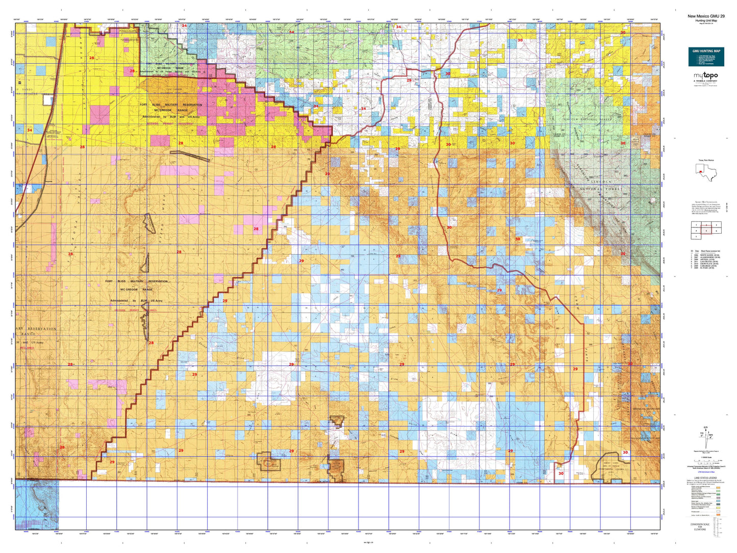
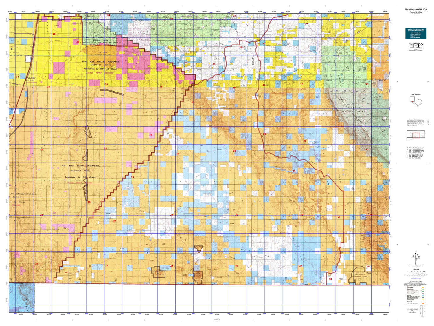
Hunting unit map of New Mexico Game Management Unit 29 with topographic lines and unit boundaries. This topo map features UTM / MGRS and Latitude/Longitude grids, plus public land ownership. It comes folded on waterproof paper. Be fully prepared for your hunt with a MyTopo GMU map!.
This map contains the following named places: 79837,88342,88344,AAA Tank,Air Force Well,Akers Place Windmill,Alamo Mountain,Alamo Springs Stage Station Historic Site,Alamo Tank,Alamo Windmill,Alice Mine,Alkali Lakes,Alton Jones Ranch,Alva Smith Tanks,Arkansas Canyon,B T Ranch,Badger Well,Barclay Draw,Bassett Lake,Behringer Canyon,Ben Williams Canyon,Bennett Ranch,Bennett Tank,Benton Well,Bert Canyon,Big Cement Tank,Big Tank,Bill Jones Ranch,Bird Tank,Black Mountain,Bluff Tank,Boardwell Canyon,Bonita Draw,Boots Tank,Borrego Tank,Box Canyon,Brownfeld Corner,Brownfield Hill,Brownfield Ranch,Browning Well,Buckhorn Canyon,Bullis Lake,Bullis Spring Ranch,Cal Canyon,Cantrell Lake,Carrisa Canyon,Cartwright Ranch,Castner Draw,Cat Draw,Cauhaupe Ranch,Center Windmill,Chatfield Canyon,Chatfield Peak,Chattfield Mountain,Chess Draw,Chess Well,Chosie Canyon,Cienega,Club Draw,Coffelt Draw,Collins Draw,Collins Hills,Corner Well,Cornucopia Diversion Dam,Cornucopia Draw,Cornucopia Hills,Cornucopia Ranch,Cornudas Draw,Cornudas Mountain,Cornudas Mountain Prospect,Cornudas Mountains,Cornudas Ranch,Coupland Ranch,Cowan Lake,Crooked Canyon,Crow Flats,Culp Canyon,Culp Canyon Wilderness Study Area,Culp Peak,Cunape,Daily Hill,Dean Ranch,Deep Well,Deer Mountain,Dry Lake,Dry Lakes,Dry Peak,Earl Well,East McAfee Canyon,El Paso Canyon,El Paso Draw,Elwood,Escondida Siding,Flat Top,Fleming Draw,Fourmile Draw,Gage Ranch,Garnet Mine,George Draw,Gowdy Ranch,Grapevine Canyon,Gregg Canyon,Hackberry Draw,Hackberry Hill,Hackberry Well,Hammock Well,Hat Ranch,Havens Ranch,Hay Canyon,Hay Meadow Canyon,Henry Canyon,Hilltop House,Hot Well,Humphery Canyon,Indian Draw,Indian Trail Canyon,Indian Trail Creek,Iron Queen Mine,Jack Smith Draw,James Ranch,Jarilla Mountains,Jernigan Homestead,Jernigan Wash,Jim Jefferies Canyon,John A Well,Juniper Draw,Kitchen Well,Launch Control,Lee Detention Dam,Lewis Canyon,Lewis Ranch,List Ranch,Little Collins Draw,Little Dog Canyon,Little Humphrey Canyon,Little Joe Mine,Little Stevens Creek,Little Stevens Draw,Little Well,Long Canyon,Lost Pond,Lower Humphrey Canyon,Lower Juniper Reservoir,Lucky Draw,Mack Draw,Mannie Baird Mine,Martin Canyon,Martin Well,McArron Ranch,McLane Draw,McVeigh Hills,Mean Ranch,Merritt Ranch,Mesa Horse Camp,Moccasin Draw,Monte Carlo Gap,New Tank Draw,New Well,North Draw,North Hammock Canyon,North Well,Oil Well Windmill,Old Wright Place,Olden Ranch,Orogrande,Orogrande Aqueduct,Orogrande Weather Station,Otero County,Otero Mesa,Otto Draw,Owl Tank Canyon,Panama Ranch,Pate Windmill,Paxton Siding,Pendejo Wash,Perry Well,Perry Windmill,Pinon,Pinon Creek,Pinon Ranch,Pinon Wash,Pipeline Canyon,Prude Ranch,Pup Canyon,Rattlesnake Hill,Red Hill,Richardson Lake,Rough Canyon,Rough Draw,Runyan Line Shack,Runyon Line Shack,Russell Gap,Sacramento River,San Antonio Mountain,Sheep Draw,Shiloh Draw,Shiloh Hills,Shockley Lake,Snow Ranch,South Hammock Canyon,South Prong Stevens Creek,South Well,Southeast Otero Division,Sowell Ranch,Stephens Draw,Stevens Creek,Stevens Lake,Stevens Ranch,Surveyors Canyon,Tanner Ranch,Templeton Ranch,Terry Ranch,The Lake,The Rim,Timberon,Tulloch Lake,Turquoise,Upper Juniper Reservoir,Van Winkle Lake,Washburn Mountain,Water Canyon,Wayland Canyon,West Dog Canyon,West Fork Ben Williams Canyon,West McAfee Canyon,Wet Weather Pond,Wildcat Canyon,Wildcat Draw,Wiley Bar Ranch,Willow Canyon,Wimberly Ranch,Wind Mountain,Wind Mountain Draw,Wind Mountain Well,Woods Canyon


