MyTopo
Nevada GMU 280 Map
Couldn't load pickup availability
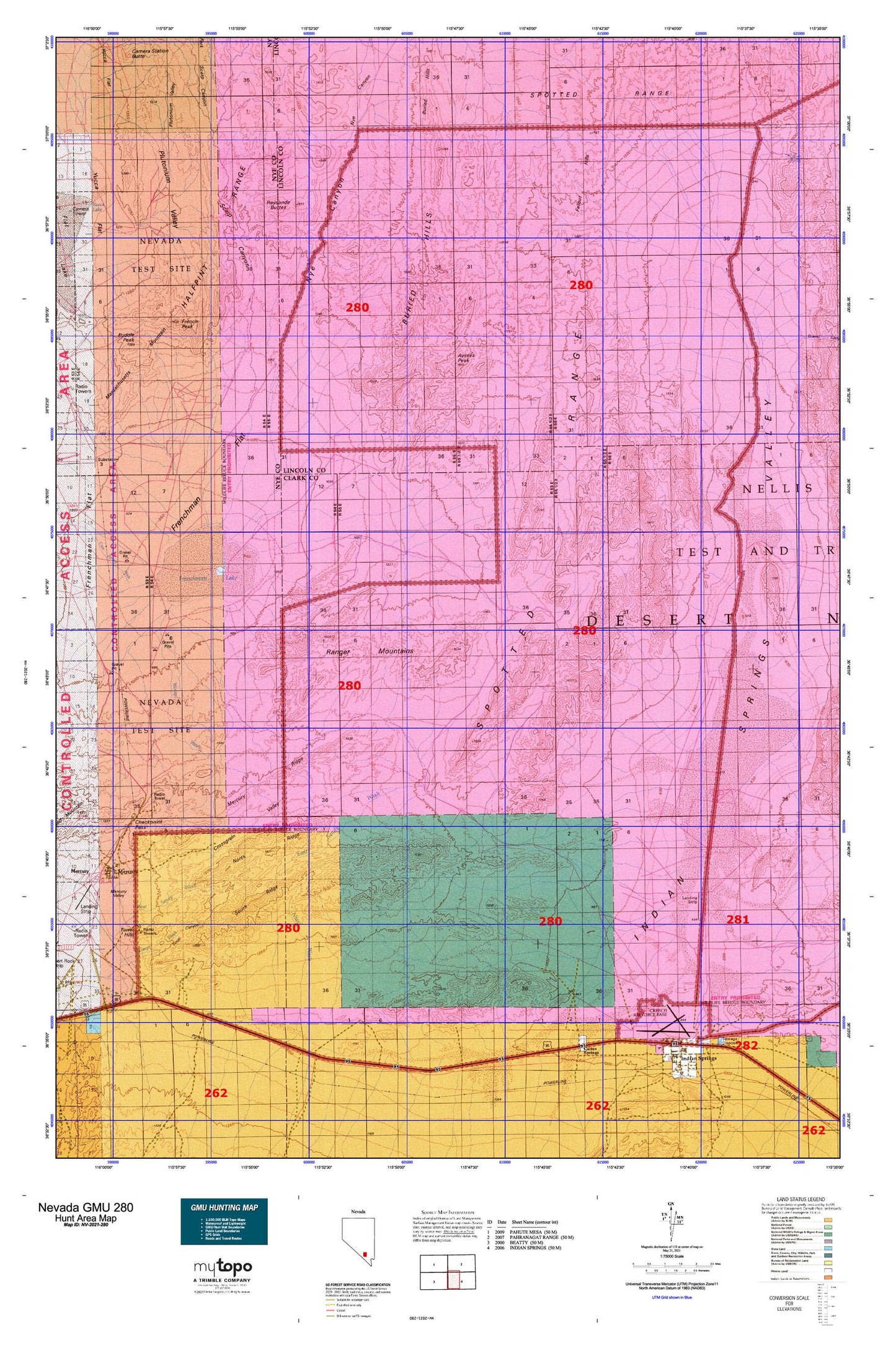
Hunting unit map of Nevada Game Management Unit 280 with topographic lines and unit boundaries. This topo map features UTM / MGRS and Latitude/Longitude grids, plus public land ownership. It comes folded on waterproof paper. Be fully prepared for your hunt with a MyTopo GMU map!.
This map contains the following named places: Aysees Peak,Barren Wash,Buried Hills,Cane Spring Wash,Charleston,Checkpoint Pass,Creech Air Force Base,Crossgrain Valley,Dell Frenzi Park,Eagle Roost Radio Tower,East Fork Scarp Canyon,East Sandy Wash,French Peak,Frenchman Flat,Frenchman Lake,Kay Blockhouse,Massachusetts Mountain,Mercury,Mercury Post Office,Mercury Ridge,Narrow Canyon,Nevada Test Site Area 11,Niavi Wash,North Ridge,Nye Canyon,Plutonium Valley,Puddle Peak,Pumping Station 2,Pumping Station 3,Pumping Station Four,Ranger Mountains,Raysonde Buttes,Scarp Canyon,South Ridge,Spotted Range,Sugar Bunker,Timpi Canyon,Timpi Wash,Tower Hills,Triple Point Bunker,Well Five A,Well Five C,Well One,West Sandy Wash,Winapi Wash,Winding Wash


