MyTopo
Land Between the Lakes National Recreation Area Map
Regular price
$80.00
Regular price
Sale price
$80.00
Unit price
per
Couldn't load pickup availability
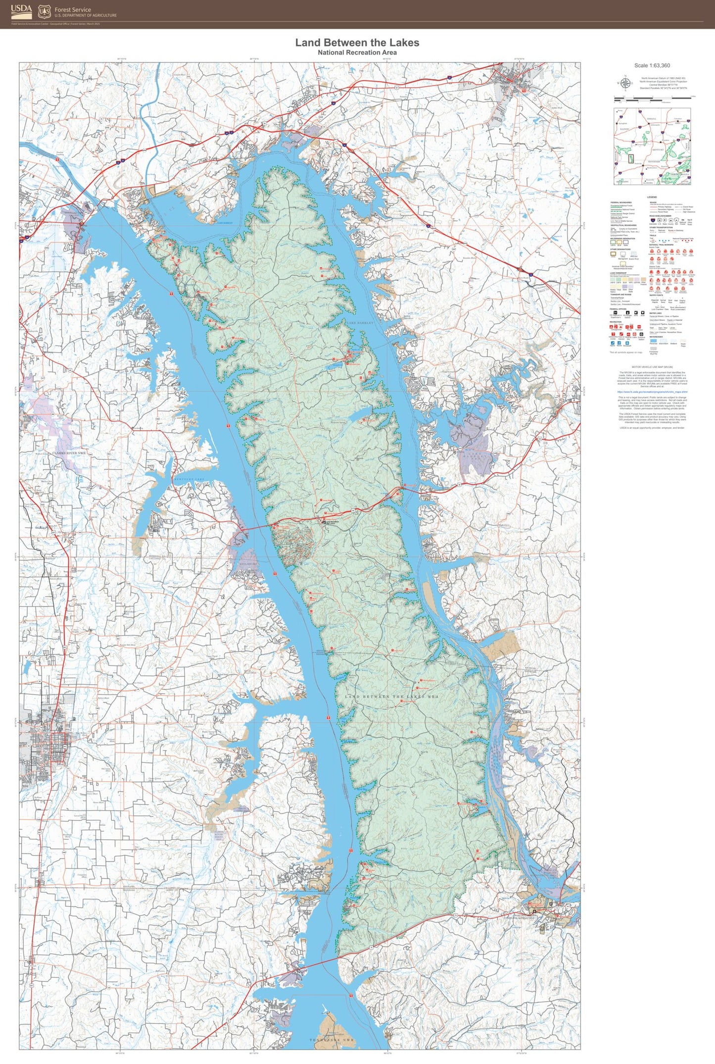
This printed map of Land Between the Lakes National Recreation Area in the state of Kentucky is a stunning depiction of one of America's most iconic natural landscapes. Showing all Forest Service roads, trails, campgrounds, trailheads, water features, and more across this National Forest unit, this is an ideal guide to recreational features. It is also ready for framing and makes a great wall map.
Produced by the United States Forest Service, this map is perfect for wall display. It captures the beauty and majesty of the American landscape administered by the USFS, making it an ideal addition to any home or office decor.