MyTopo
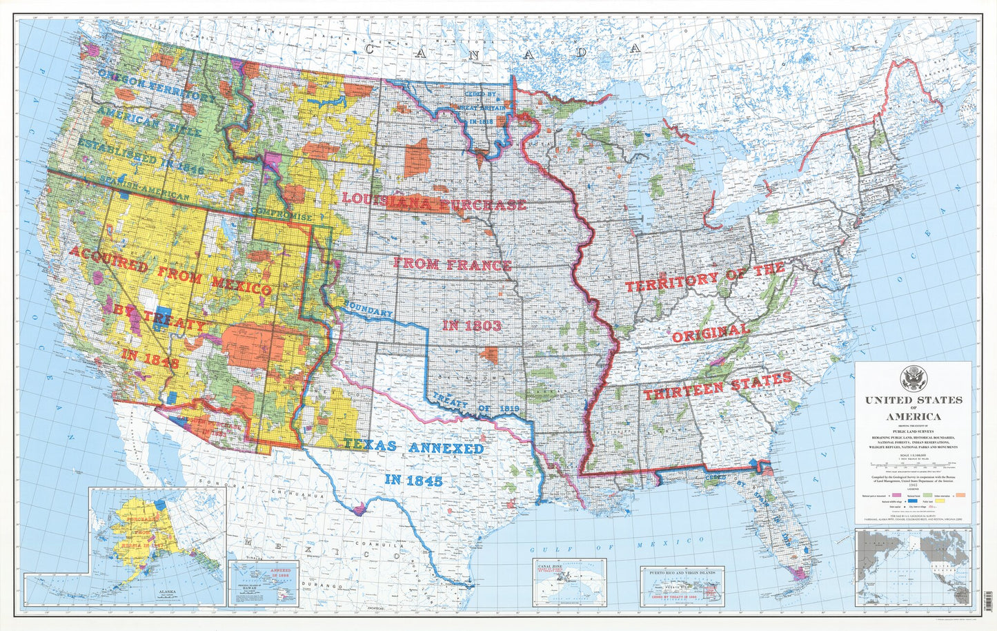
United States Public Land Surveys Map
Regular price
$129.00
Regular price
Sale price
$129.00
Unit price
per
Couldn't load pickup availability
A beautiful map print from MyTopo, perfect for framing or wall hanging!
- Map size: 63" x 40"
- Year: 1978
- Scale: 1:3,000,000
- Paper: Waterproof banner
This highly detailed map is great for educators because it depicts the original 13 colonies, as well as outlining past land purchases, grants and annexes. It also lists all the States and their cities, the hydrology, remaining public land, national forests, Indian reservations and national parks and monuments.