MyTopo
State of Arkansas Satellite Map
Couldn't load pickup availability
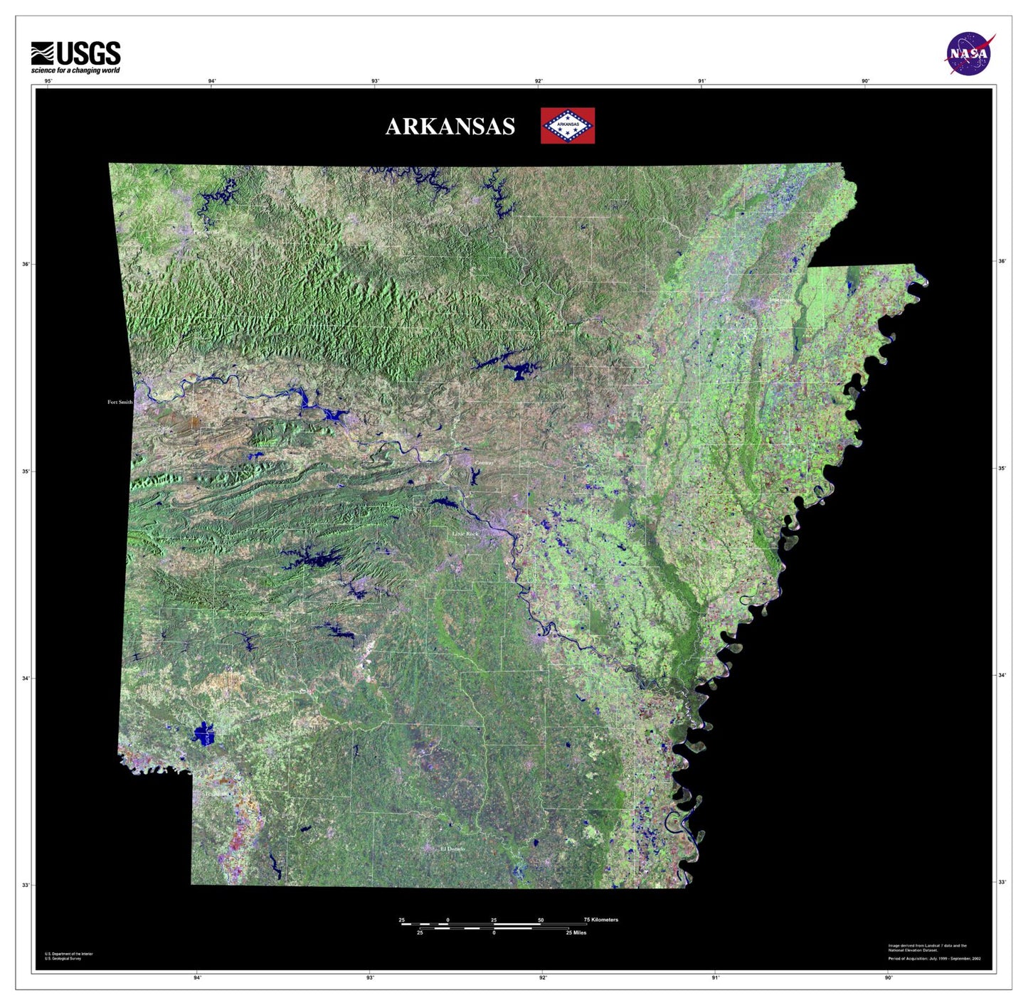
A beautiful Satellite map print of the state of Arkansas, derived from USGS data.
It shows cities like Little Rock and Fayetteville, but also attractions including Hot Springs National Park and Ozark National Forest. Printed on waterproof paper with UV-resistant inks for a long-lasting finish, ready for display or framing.
Created using imagery from Landsat earth observation satellites, this stunning image of the state shows landscapes, cities, lakes, and valleys. It is displayed in color to differentiate forests, plains, and urban areas. The clarity and beauty provided by the satellite images creates a very special image of the state.
Perfect for wall display, this map captures the beauty and majesty of Arkansas, making it an ideal addition to any home or office decor.


