MyTopo
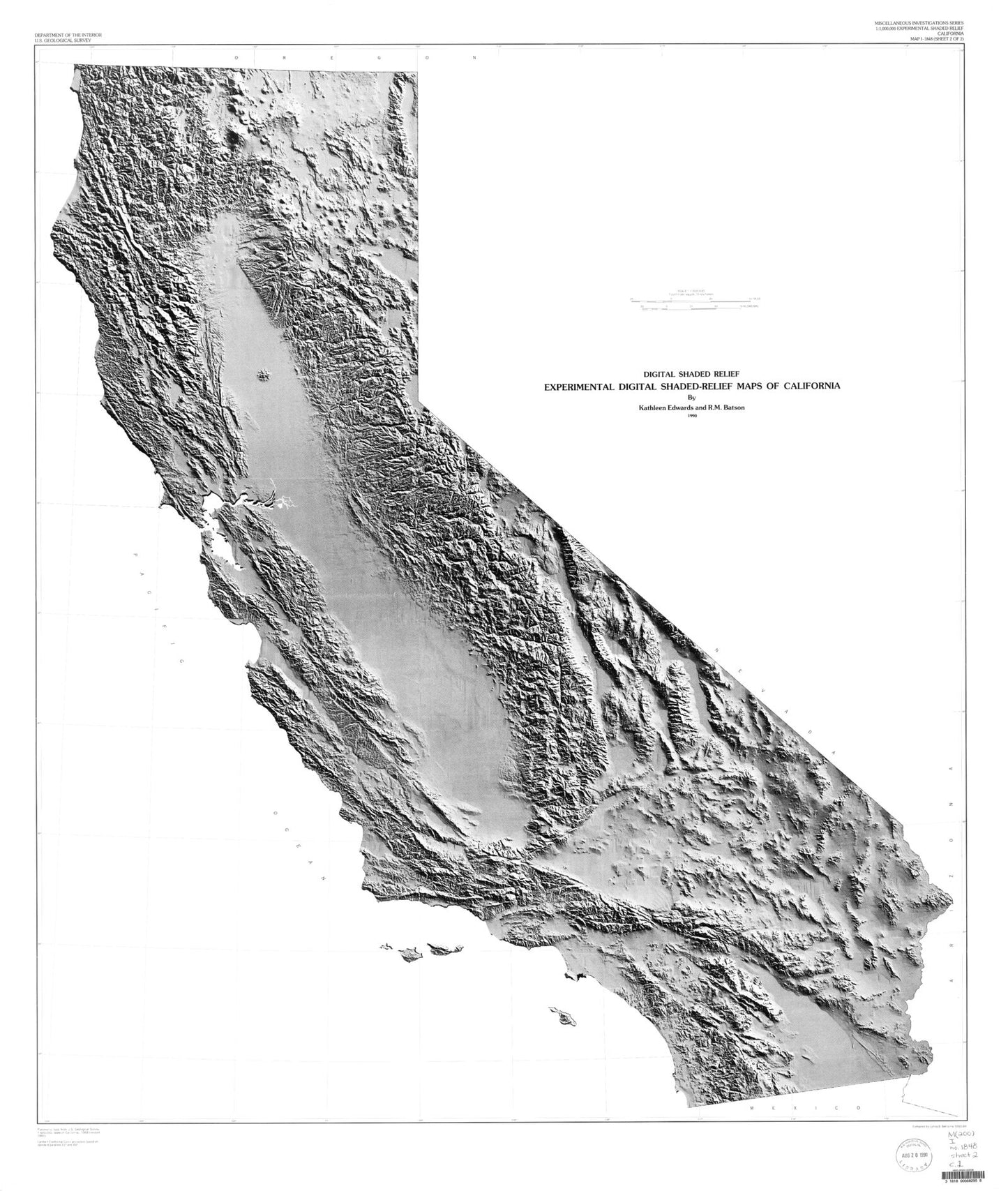
State of California Shaded Relief Grayscale Map
Couldn't load pickup availability
A beautiful Shaded Relief Grayscale map print of the state of California, derived from USGS data and published in 1990. The scale is 1:1,000,000.
It shows cities like Los Angeles and San Francisco, but also attractions including Yosemite National Park and Napa Valley. Printed on glossy poster paper with UV-resistant inks for a long-lasting finish, ready for display or framing.
Learn about the topography of the state with this map made from a digital elevation model. The map has minimal cultural features, allowing for a sharp, detailed examination of the canyons, plains, valleys, and mountains of the state. It displays landforms accurately in their true complexity and allows features to be viewed on a regional basis.The black-and-white presentation allows for even greater contrast, helping natural features stand out better.
Perfect for wall display, this map captures the beauty and majesty of California, making it an ideal addition to any home or office decor.


