MyTopo
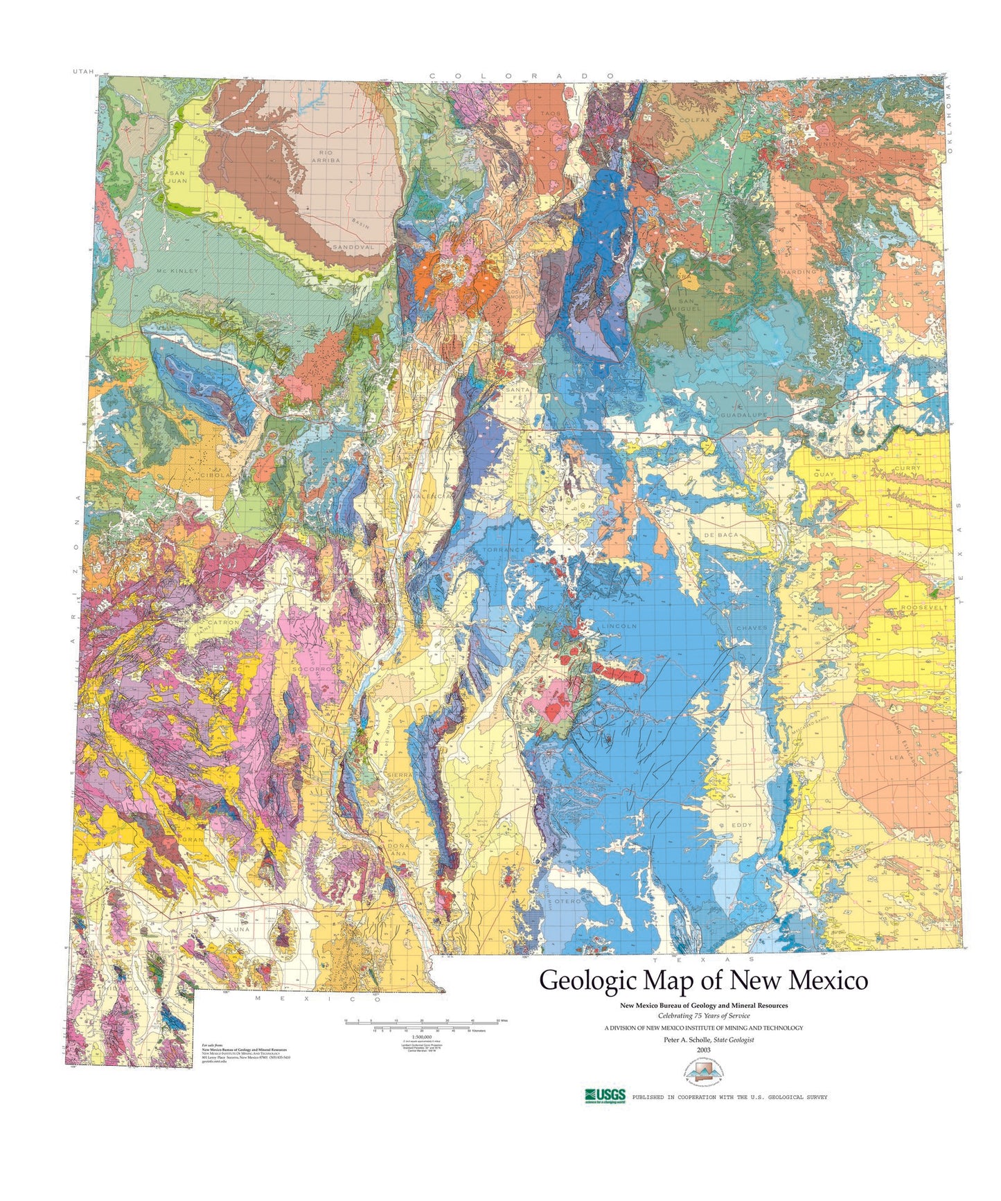
State of New Mexico Geologic Map
Couldn't load pickup availability
A beautiful Geologic map print of the state of New Mexico, derived from USGS data and published in 2003. The scale is 1:500,000.
It shows cities like Santa Fe and Albuquerque, but also attractions including Taos and Carlsbad Caverns National Park. Printed on glossy poster paper with UV-resistant inks for a long-lasting finish, ready for display or framing.
This geologic map uses a combination of lines, symbols, and colors to show the composition and structure of earth materials and their distribution across and beneath the Earth's surface. It shows bedrock formations like granite or limestone, surficial units such as sediment deposited by glaciers or rivers, and structures like folds and faults. Geologic maps can be used to identify geologic hazards, locate natural resources, and facilitate land-use planning.
This color state geologic map, published in July 2003, is the first geologic map of New Mexico to be published at this scale since 1965. Close to 20 years in the making, this compilation represents the collective efforts of geologists from throughout the state. Over 100 geologic units are represented. Two sheets, including detailed key and references.
Perfect for wall display, this map captures the beauty and majesty of New Mexico, making it an ideal addition to any home or office decor.


