MyTopo
State of Oklahoma Base Map
Regular price
$60.00
Regular price
Sale price
$60.00
Unit price
per
Couldn't load pickup availability
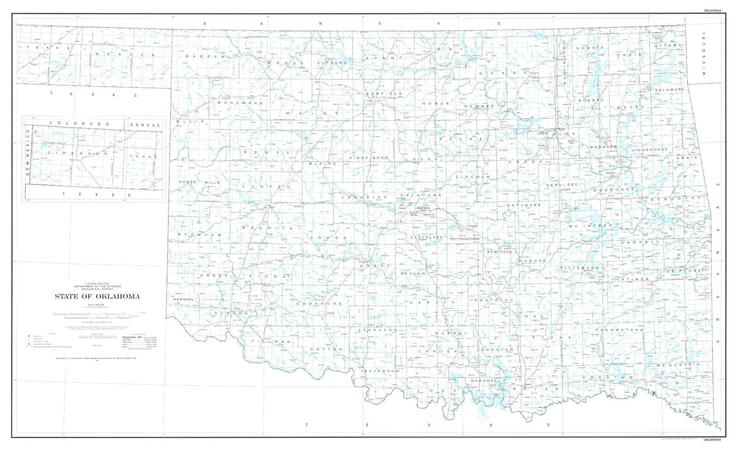
A beautiful base vintage map print of the state of Oklahoma, derived from USGS data and published in 1972. The scale is 1:500,000.
It shows cities like Oklahoma City and Tulsa, but also attractions including Broken Bow and Wichita Mountains State Park. Printed on waterproof paper with UV-resistant inks for a long-lasting finish, ready for display or framing.
This base map of the state gives an excellent overview of natural and artificial/political features. It depicts state and county boundaries, cities, highways, lakes, and rivers.
Perfect for wall display, this map captures the beauty and majesty of Oklahoma, making it an ideal addition to any home or office decor.