MyTopo
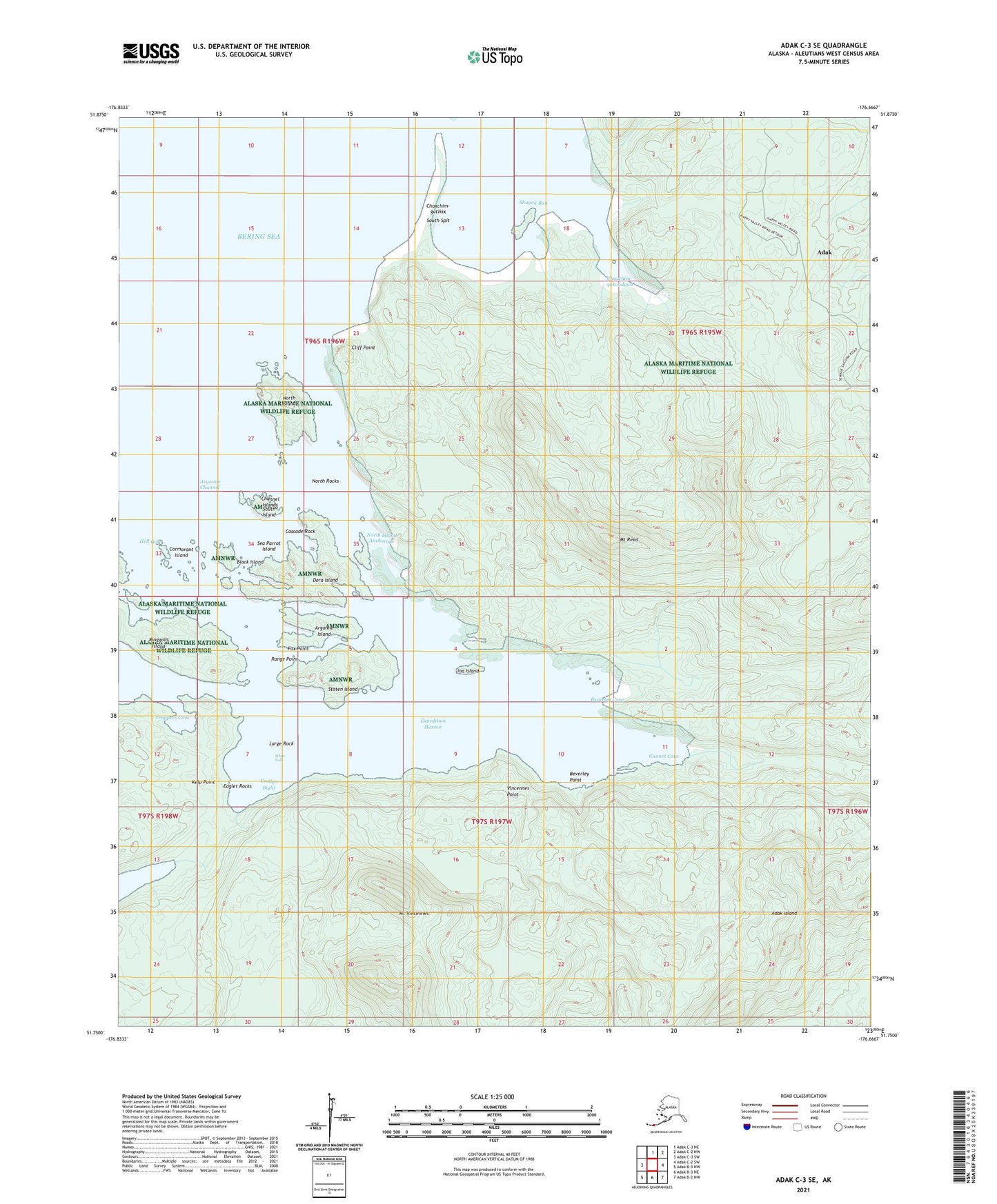
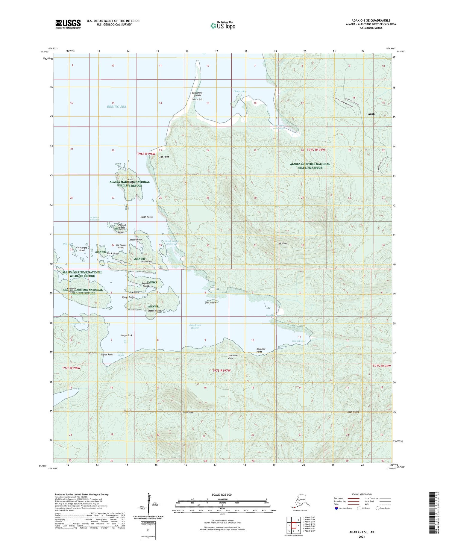
Adak C-3 SE Alaska US Topo Map
Couldn't load pickup availability
2021 topographic map quadrangle Adak C-3 SE in the state of Alaska. Scale: 1:25000. Print Size: 24" x 29"
Based on the newly updated USGS 7.5' US Topo series, this map has UTM / MGRS grids and is in the following counties: Aleutians West (CA).
The map contains contour data, water features, and other items you are used to seeing on U.S. Geological Survey maps, but also has updated roads and other features. This is the next generation of topographic maps. Printed on high-quality waterproof paper with UV fade-resistant inks.
Contains the following named places: Bonny Rose Lake Dam, Lake Demarie Dam, Argonne Island, Beverley Cove, Cliff Point, Lake Constant, Dora Island, Expedition Harbor, Gannet Cove, Ina Island, North Island, Mount Reed, Ringgold Island, Shagak Bay, South Island, South Spit, Staten Island, Trappers Cove, Mount Vincennes, North Rocks, North Island Anchorage, Eaglet Rocks, Large Rock, Kelp Point, Vincennes Point, Hell Gate, Range Point, Fox Point, Lake Ringgold, Black Island, Cormorant Island, Cascade Rock, Channel Islands, White Falls, Argonne Channel, Sea Parrot Island, Beverley Point, Unalga Bight, Chaxchim-qakuudguu, Chaxchim-gutikix


