MyTopo
Anchorage A-8 NE Alaska US Topo Map
Couldn't load pickup availability
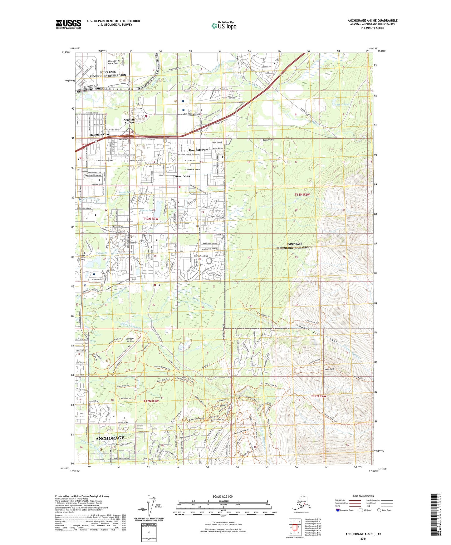
2021 topographic map quadrangle Anchorage A-8 NE in the state of Alaska. Scale: 1:25000. Print Size: 24" x 29"
Based on the newly updated USGS 7.5' US Topo series, this map has UTM / MGRS grids and is in the following counties: Anchorage.
The map contains contour data, water features, and other items you are used to seeing on U.S. Geological Survey maps, but also has updated roads and other features. This is the next generation of topographic maps. Printed on high-quality waterproof paper with UV fade-resistant inks.
Contains the following named places: Artesian Village, Bonibrook, Campbell Creek Canyon, DeBarr Vista, Homesite Park, Mountain View, North Fork Ship Creek, Whitney, Near Point, University Lake, Dishno Pond, Moose Run Country Club, Hillside Park, Arnold L Muldoon Park, Baxter Bog Park, Cheney Lake, Russian Jack Springs Park, Centennial Park, Cottonwood Park, Nunaka Valley, Basher, Chugach Heights, Fairview, Justamere Ranch, Lawrence, Middle Branch South Fork Chester Creek, Nels Klevens, North Branch South Fork Chester Creek, Runstettler, South Branch South Fork Chester Creek, Vanover, Wonder Park, Far North Bicentennial Park, Davis Park, Ski Lift Campground, Bunker Hill, Cochise Lake, Diablo Pond, Fort Richardson State Fish Hatchery


