MyTopo
Atka C-4 SE Alaska US Topo Map
Couldn't load pickup availability
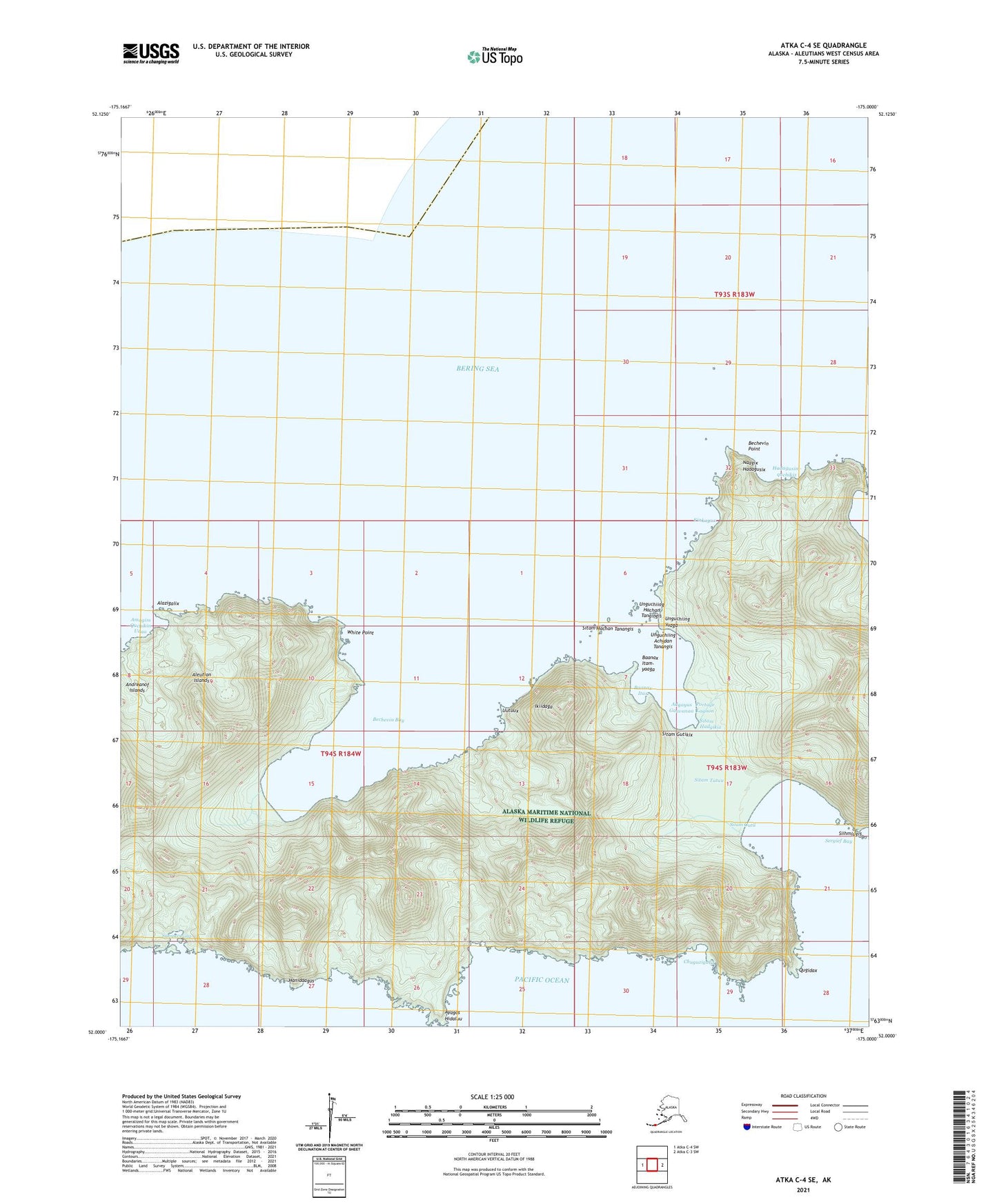
2021 topographic map quadrangle Atka C-4 SE in the state of Alaska. Scale: 1:25000. Print Size: 24" x 29"
Based on the newly updated USGS 7.5' US Topo series, this map has UTM / MGRS grids and is in the following counties: Aleutians West (CA).
The map contains contour data, water features, and other items you are used to seeing on U.S. Geological Survey maps, but also has updated roads and other features. This is the next generation of topographic maps. Printed on high-quality waterproof paper with UV fade-resistant inks.
Contains the following named places: Bechevin Bay, Bechevin Point, Portage Lagoon, Sergief Bay, White Point, Naagix Hadagusix, Hadagusim-quchikix, Kinkagux, Unguchiing Yaaga, Unguchiing Achidan Tanangis, Unguchiing Hachan Tangingis, Sitam Gutii, Sitam Tatuu, Sitam Gutikix, Sitam Hadgikix, Sitam Hachan Tanangis, Adgayus Gaavanaa, Baanax Itax, Baanax Itam-yaaga, Ikiidaga, Uutuux, Amagim Quchikin Udaa, Alazigalix, Sangazuung, Hanidaagus, Ayagas Hidaluu, Chuguzigalix, Qugidax, Siihmlugis, WWII Valor In The Pacific National Monument - Aleutian Islands Unit


