MyTopo
Attu C-3 NE Alaska US Topo Map
Couldn't load pickup availability
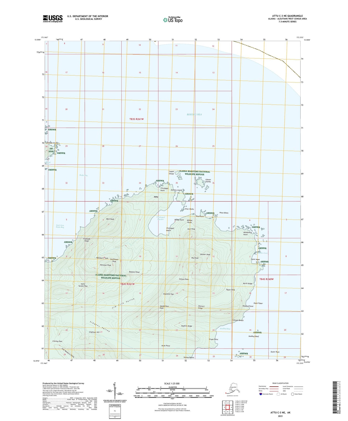
2021 topographic map quadrangle Attu C-3 NE in the state of Alaska. Scale: 1:25000. Print Size: 24" x 29"
Based on the newly updated USGS 7.5' US Topo series, this map has UTM / MGRS grids and is in the following counties: Aleutians West (CA).
The map contains contour data, water features, and other items you are used to seeing on U.S. Geological Survey maps, but also has updated roads and other features. This is the next generation of topographic maps. Printed on high-quality waterproof paper with UV fade-resistant inks.
Contains the following named places: Attu, Blind Cove, Lake Canirco, Chichagof Harbor, Chichagof Point, Cooper Islands, Lake Cories, East Arm Holtz Bay, East Peak, Eckman Creek, Fishhook Ridge, Gibson Island, Goltsov Point, Hodikof Bay, Hodikof Point, Holtz Bay, Hook Point, Kennon Island, Khlebnikof Point, Krupa Point, Middle Peak, Mirror Lake, Lake Nicholas, Pierucci Ridge, Point Hope, Siddens Valley, West Peak, Brewer Peak, Newman Peak, Taylor Peak, Hodikof Reef, Middle Rocks, Washburn Peak, Range Point, Pisa Point, Inner Rocks, Bassett Creek, Point Black, Buffalo Head, Chichagof Beach, Clevesy Pass, Darroh Creek, Eckman Beach, Engineer Hill, Gawanka Brook, Gibson Islands, Holtz Sarana Pass, Hopkins Ridge, Inner Rocks, Japanese Gap, Jim Fish Valley, Kelliher Cove, Lost Lake, McKenzie Creek, Mirror Creek, North Ridge, Outer Rock, Point Poker, Simson Peak, Southwest Peak, Vanderlann Peak


