MyTopo
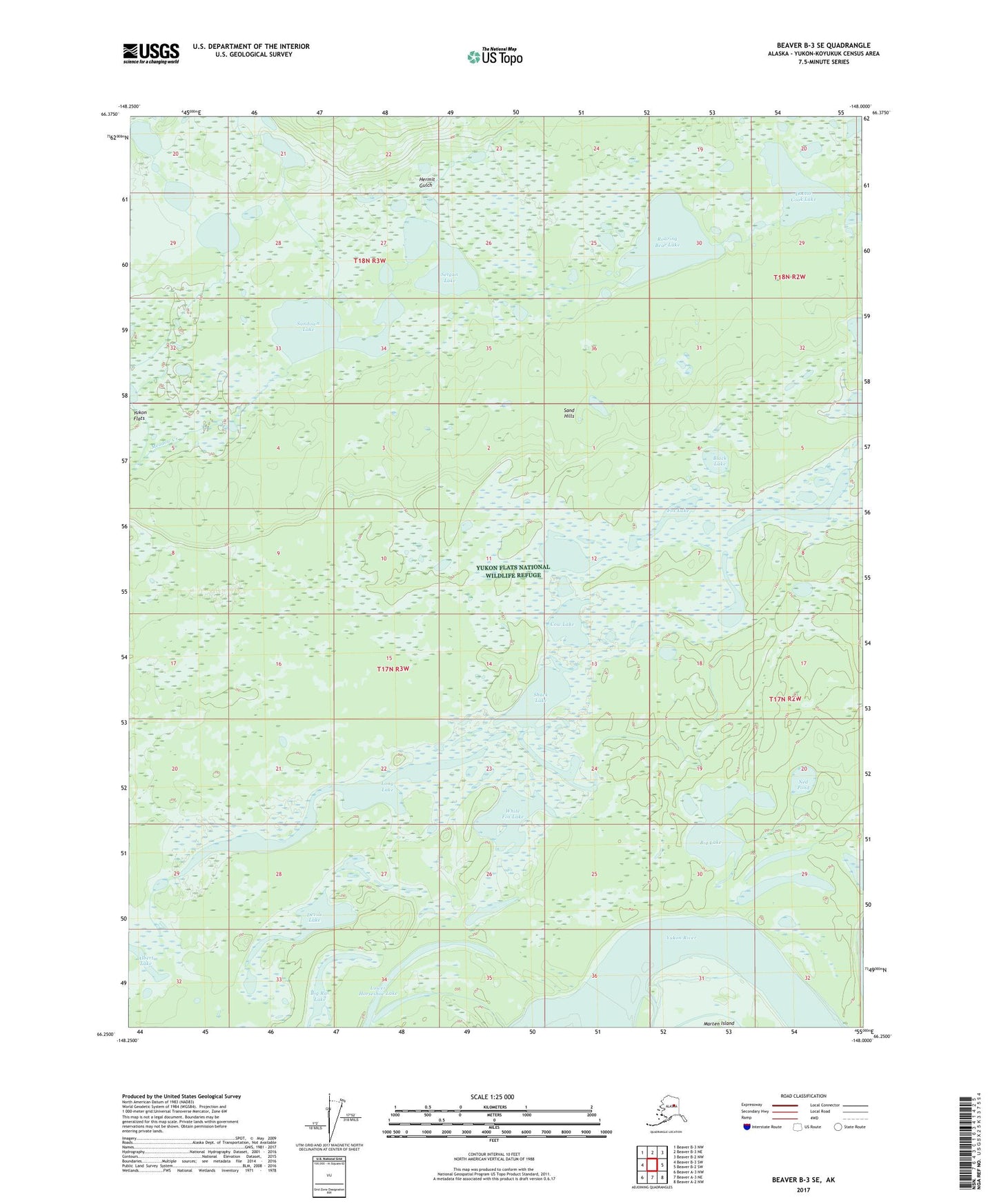
Beaver B-3 SE Alaska US Topo Map
Couldn't load pickup availability
2017 topographic map quadrangle Beaver B-3 SE in the state of Alaska. Scale: 1:25000. Print Size: 24" x 29"
Based on the newly updated USGS 7.5' US Topo series, this map has UTM / MGRS grids and is in the following counties: Yukon-Koyukuk (CA).
The map contains contour data, water features, and other items you are used to seeing on U.S. Geological Survey maps, but also has updated roads and other features. This is the next generation of topographic maps. Printed on high-quality waterproof paper with UV fade-resistant inks.
Contains the following named places: Big Lake, Big Rat Lake, Black Lake, Cow Lake, Devils Lake, Doctor Cook Lake, Fox Lake, Hermit Gulch, Long Lake, Lower Horseshoe Lake, Ned Pond, Purgatory, Roaring Bear Lake, Setgun Lake, Shack Lake, Sundown Lake, White Fox Lake