MyTopo
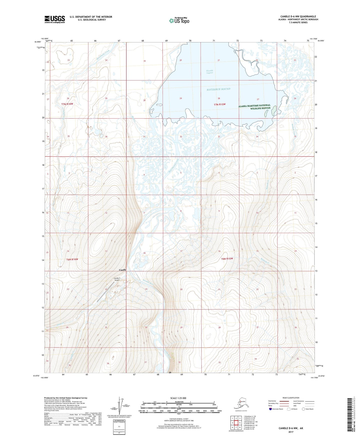
Candle D-6 NW Alaska US Topo Map
Couldn't load pickup availability
2017 topographic map quadrangle Candle D-6 NW in the state of Alaska. Scale: 1:25000. Print Size: 24" x 29"
Based on the newly updated USGS 7.5' US Topo series, this map has UTM / MGRS grids and is in the following counties: Northwest Arctic.
The map contains contour data, water features, and other items you are used to seeing on U.S. Geological Survey maps, but also has updated roads and other features. This is the next generation of topographic maps. Printed on high-quality waterproof paper with UV fade-resistant inks.
Contains the following named places: Candle, Candle Creek, Jump Creek, Kiwalik Lagoon, Kiwalik River, Middle Channel Kiwalik River, Mud Channel Creek, Mud Creek, Mud Creek Ditch, North Channel Kiwalik River, Richmond Creek, Wabash Creek, Candle 2 Airport, Mud Creek Channel Kiwalik River