MyTopo
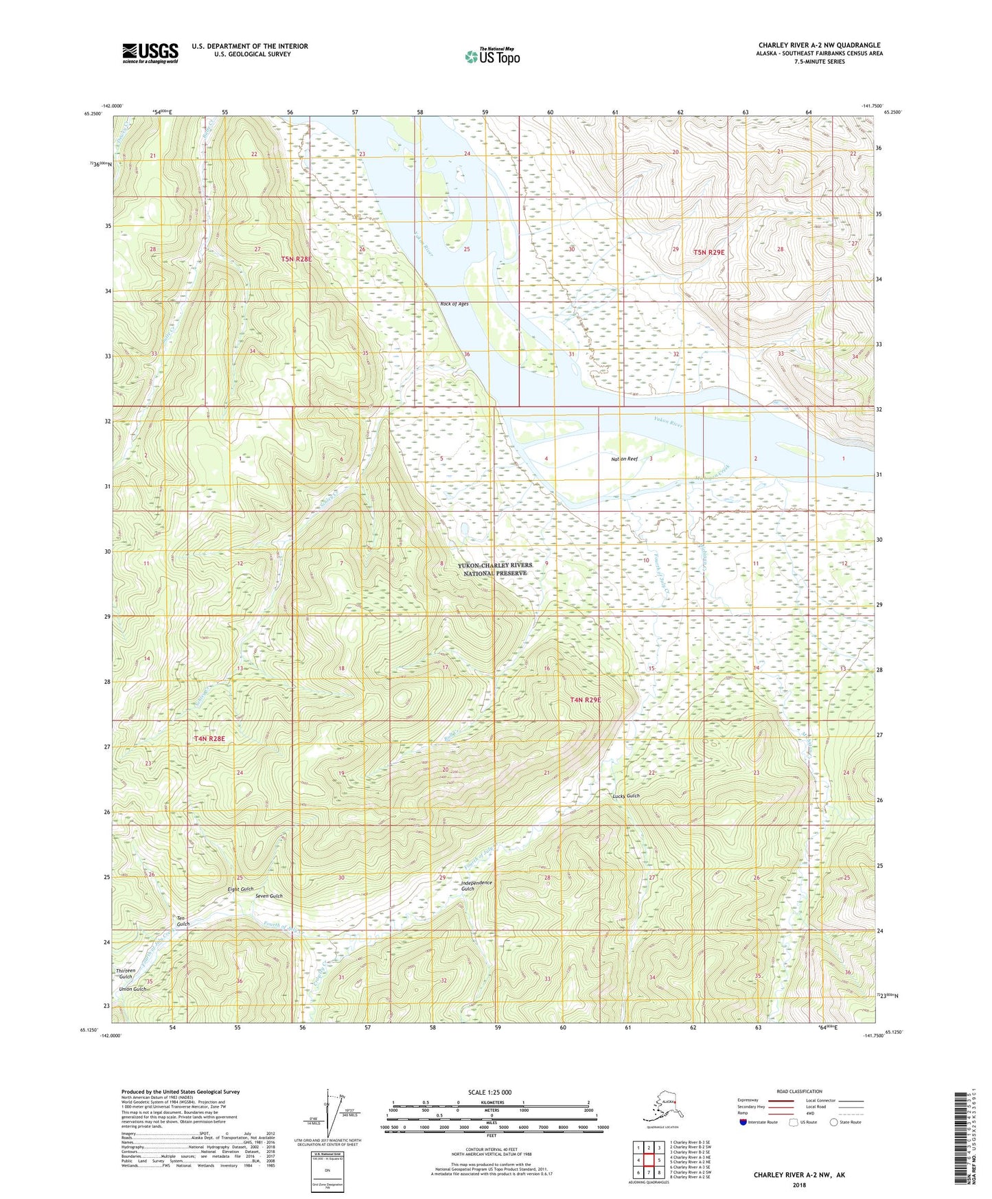
Charley River A-2 NW Alaska US Topo Map
Couldn't load pickup availability
2018 topographic map quadrangle Charley River A-2 NW in the state of Alaska. Scale: 1:25000. Print Size: 24" x 29"
Based on the newly updated USGS 7.5' US Topo series, this map has UTM / MGRS grids and is in the following counties: Southeast Fairbanks (CA).
The map contains contour data, water features, and other items you are used to seeing on U.S. Geological Survey maps, but also has updated roads and other features. This is the next generation of topographic maps. Printed on high-quality waterproof paper with UV fade-resistant inks.
Contains the following named places: Bull Creek, Crowley Creek, Eight Gulch, Fourth of July Creek, Independence Gulch, Lucky Gulch, Michigan Creek, Nation (historical), Nation Reef, Rock of Ages, Schley Creek, Seven Gulch, Ten Gulch, Thirteen Gulch, Union Gulch, Ivy City (historical)