MyTopo
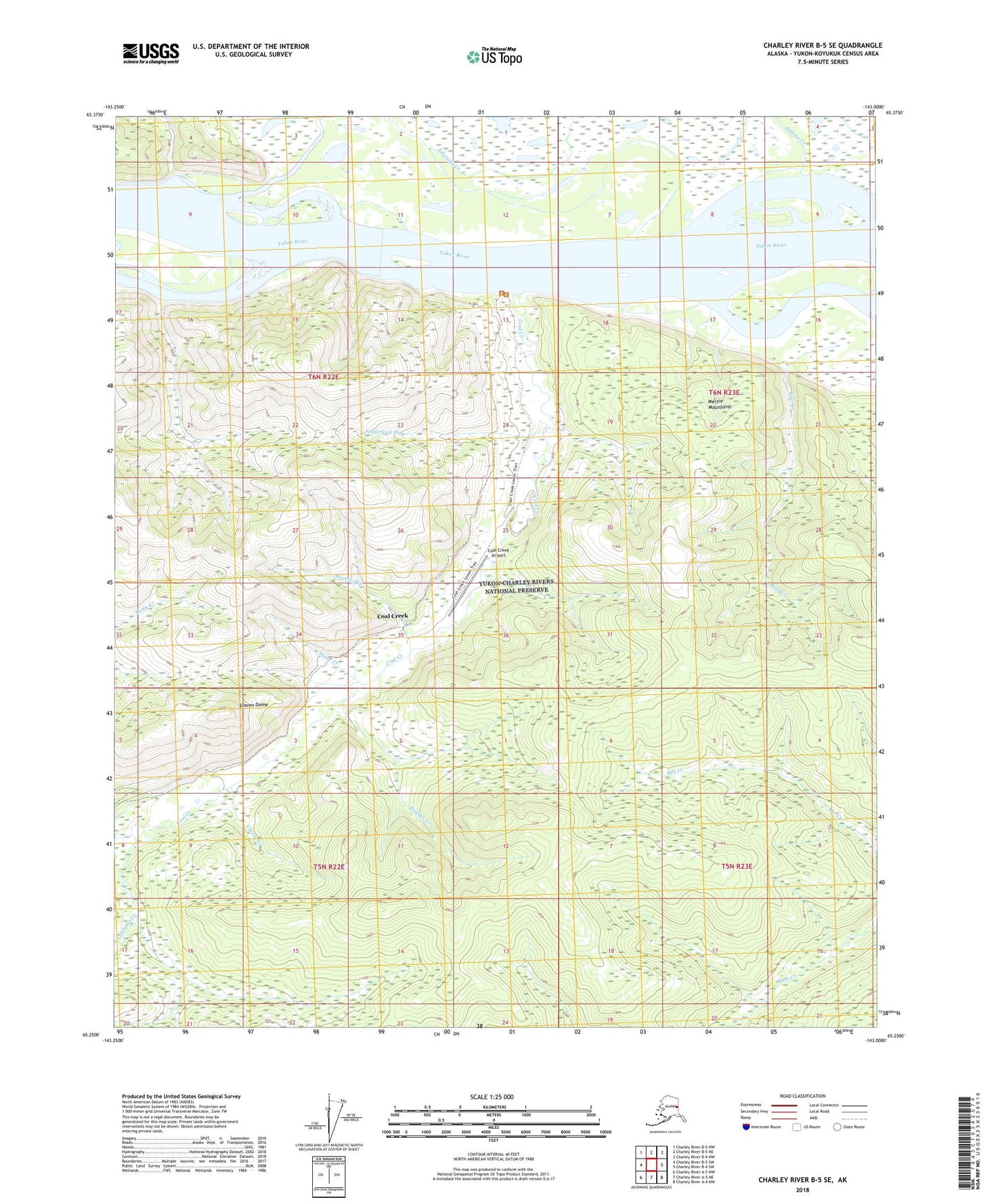
Charley River B-5 SE Alaska US Topo Map
Couldn't load pickup availability
2018 topographic map quadrangle Charley River B-5 SE in the state of Alaska. Scale: 1:25000. Print Size: 24" x 29"
Based on the newly updated USGS 7.5' US Topo series, this map has UTM / MGRS grids and is in the following counties: Yukon-Koyukuk (CA).
The map contains contour data, water features, and other items you are used to seeing on U.S. Geological Survey maps, but also has updated roads and other features. This is the next generation of topographic maps. Printed on high-quality waterproof paper with UV fade-resistant inks.
Contains the following named places: Andrew Creek, Bear Creek, Beaton Pup, Boulder Creek, Cheese Creek, Coal Creek, Coal Creek, Colorado Creek, Edwards Creek, McGregor Cabin, Pendergast Pup, Slaven Cabin, Slaven Dome, Snare Creek, Ben Creek Airport (historical), Coal Creek Airport, Rose Creek, Coal Creek Post Office (historical)