MyTopo
Craig C-2 SE Alaska US Topo Map
Couldn't load pickup availability
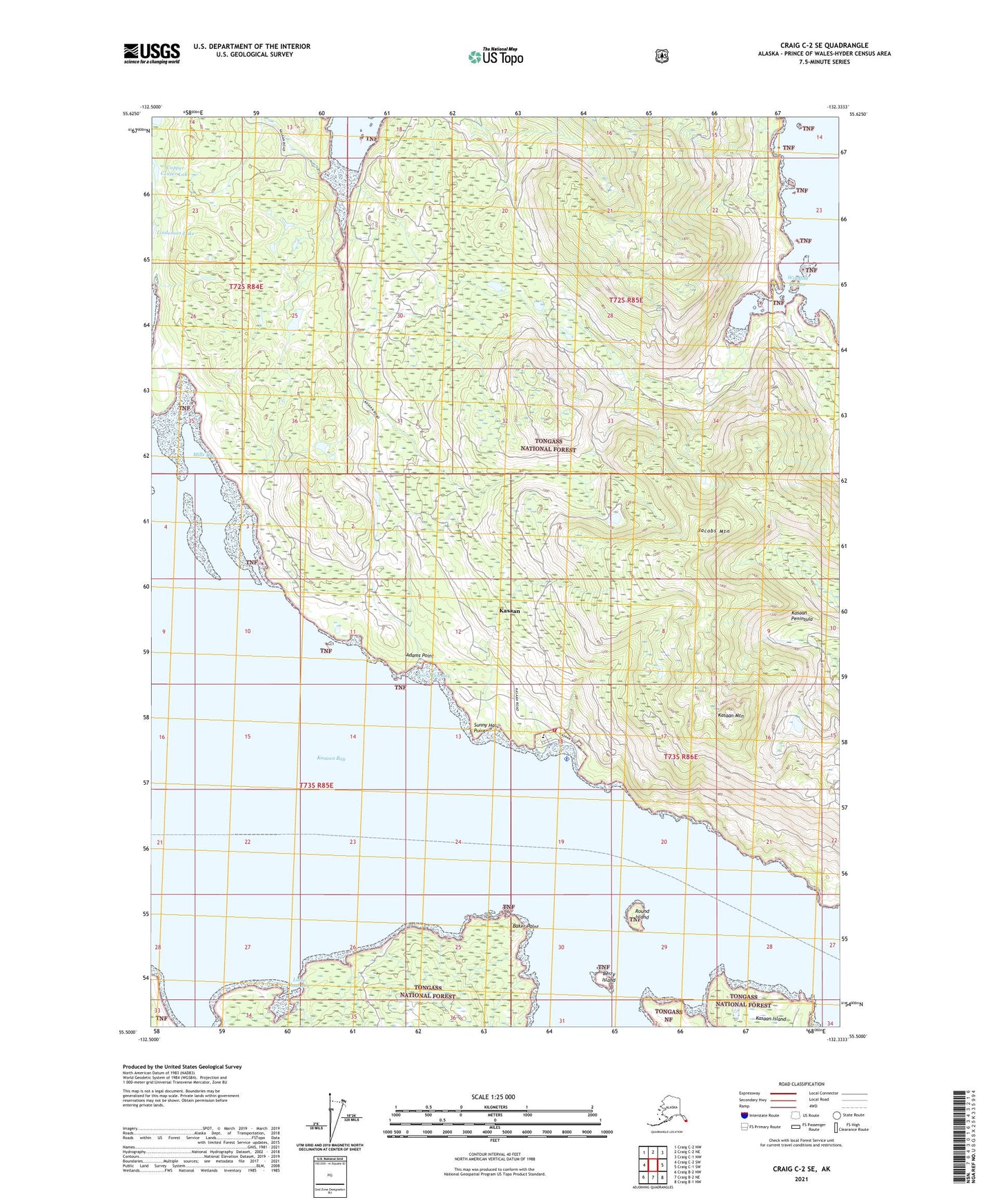
2021 topographic map quadrangle Craig C-2 SE in the state of Alaska. Scale: 1:25000. Print Size: 24" x 29"
Based on the newly updated USGS 7.5' US Topo series, this map has UTM / MGRS grids and is in the following counties: Prince of Wales-Hyder (CA).
The map contains contour data, water features, and other items you are used to seeing on U.S. Geological Survey maps, but also has updated roads and other features. This is the next generation of topographic maps. Printed on high-quality waterproof paper with UV fade-resistant inks.
Contains the following named places: Kasaan, Uncle Sam Mine, Windfall Harbor, Kasaan Seaplane Base, Adams Point, Alarm Mine, Baker Point, Berry Island, Coal Bay, Copper Center Lake, Haida Mine, It Mine, Jacobs Mountain, Kasaan Mountain, Kasaan Peninsula, Linkum Creek, Little Coal Bay, Mills Bay, Poor Man Bay, Poor Man Creek, Poor Man Mine, Rich Hill Mine, Round Island, Sunny Hat Point, Anderson Camp (historical), Kasaan Alaska Native Village Statistical Area, City of Kasaan, Kasaan Post Office (historical), Kasaan Volunteer Fire Department, Southeast Alaska Regional Health Consortium Kasaan Health Center, Kasaan Clinic Emergency Medical Services