MyTopo
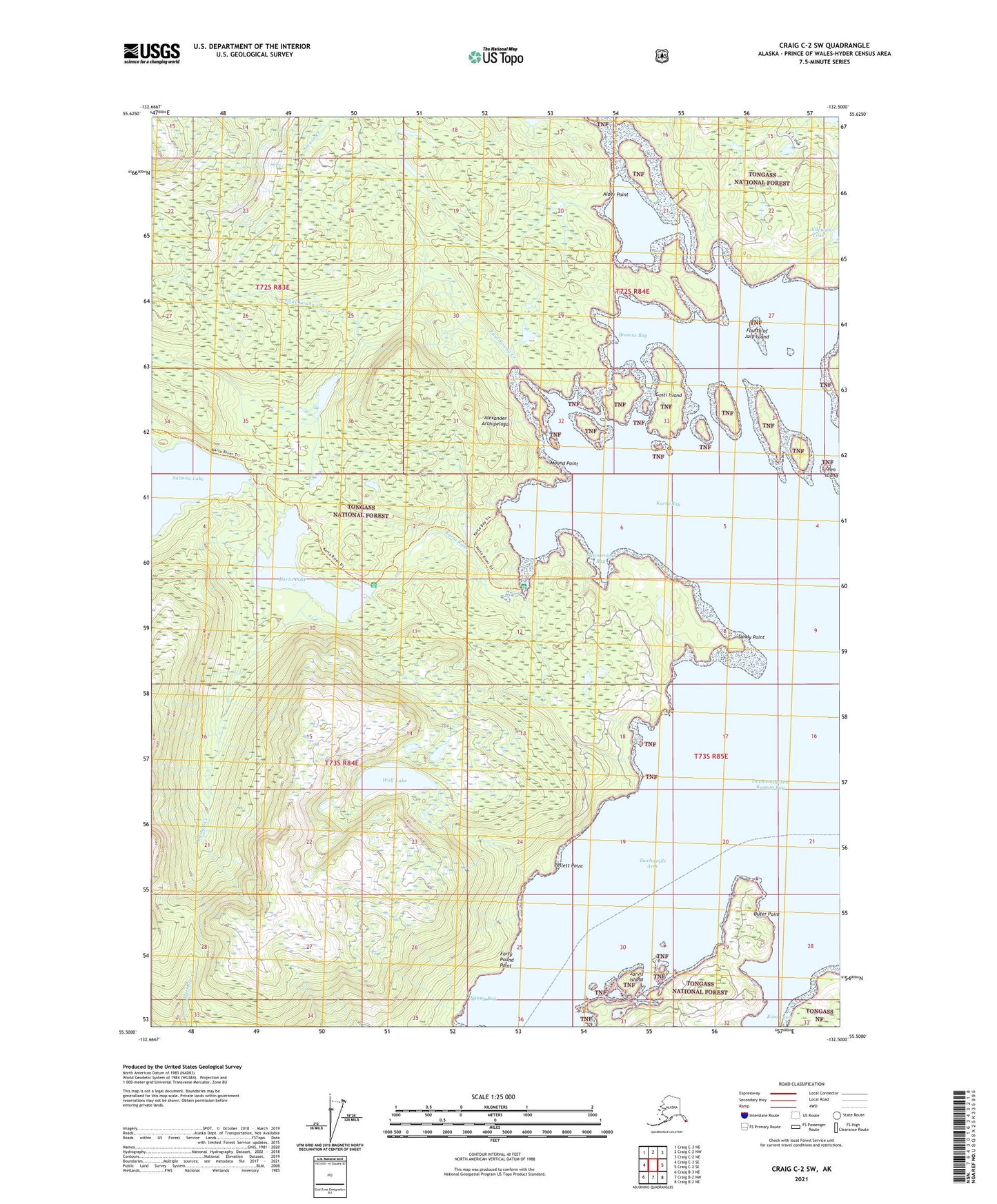
Craig C-2 SW Alaska US Topo Map
Couldn't load pickup availability
2021 topographic map quadrangle Craig C-2 SW in the state of Alaska. Scale: 1:25000. Print Size: 24" x 29"
Based on the newly updated USGS 7.5' US Topo series, this map has UTM / MGRS grids and is in the following counties: Prince of Wales-Hyder (CA).
The map contains contour data, water features, and other items you are used to seeing on U.S. Geological Survey maps, but also has updated roads and other features. This is the next generation of topographic maps. Printed on high-quality waterproof paper with UV fade-resistant inks.
Contains the following named places: Sandy Point, Wolf Lake, Flagstaff Creek, Flagstaff Mine, Jarvis Island, Karta Bay, Karta Lake, Karta River, Kina Cove, Lindeman Lake, Mound Point, Outer Point, Paul Young Creek, Pen Island, Nanny Bay, Forty Pound Point, Pellett Point, Gosti Island, Browns Bay, Fourth of July Island, Alder Point, Hollis, Baranovichs, Baronovichs Bay, Twelvemile Arm Kasaan Bay