MyTopo
Craig C-5 SE Alaska US Topo Map
Couldn't load pickup availability
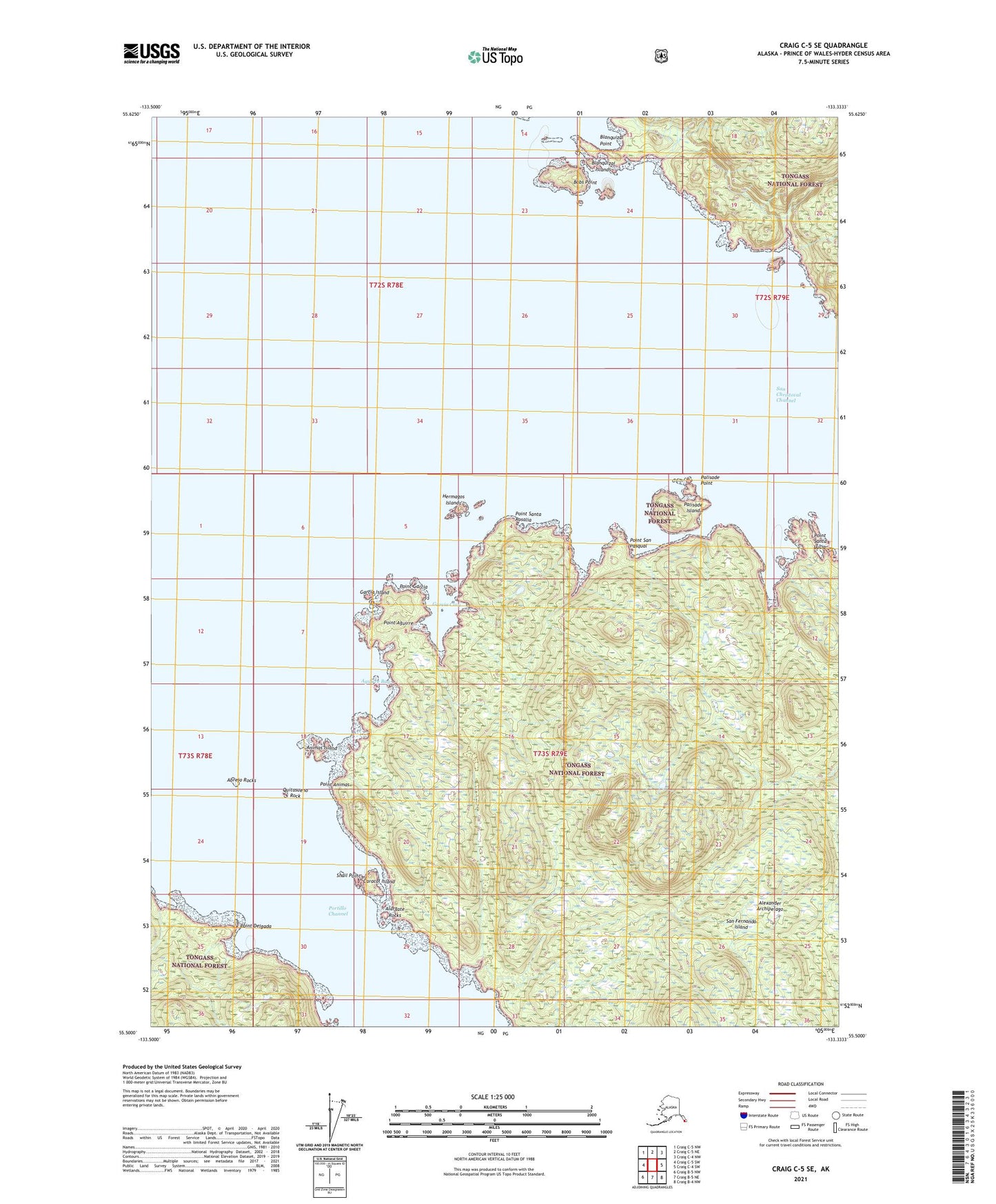
2021 topographic map quadrangle Craig C-5 SE in the state of Alaska. Scale: 1:25000. Print Size: 24" x 29"
Based on the newly updated USGS 7.5' US Topo series, this map has UTM / MGRS grids and is in the following counties: Prince of Wales-Hyder (CA).
The map contains contour data, water features, and other items you are used to seeing on U.S. Geological Survey maps, but also has updated roads and other features. This is the next generation of topographic maps. Printed on high-quality waterproof paper with UV fade-resistant inks.
Contains the following named places: San Christoval Channel, San Fernando Island, Snail Point, Abrejo Rocks, Aguirre Bay, Alargate Rocks, Animas Island, Blanquizal Islands, Blanquizal Point, Bobs Point, Caracol Island, Garcia Cove, Hermagos Islands, Palisade Island, Palisade Point, Point Aguirre, Point Animas, Point Delgada, Point Garcia, Point San Pasqual, Point Santa Lucia, Point Santa Rosalia, Quitasueno Rock, Garcia Island