MyTopo
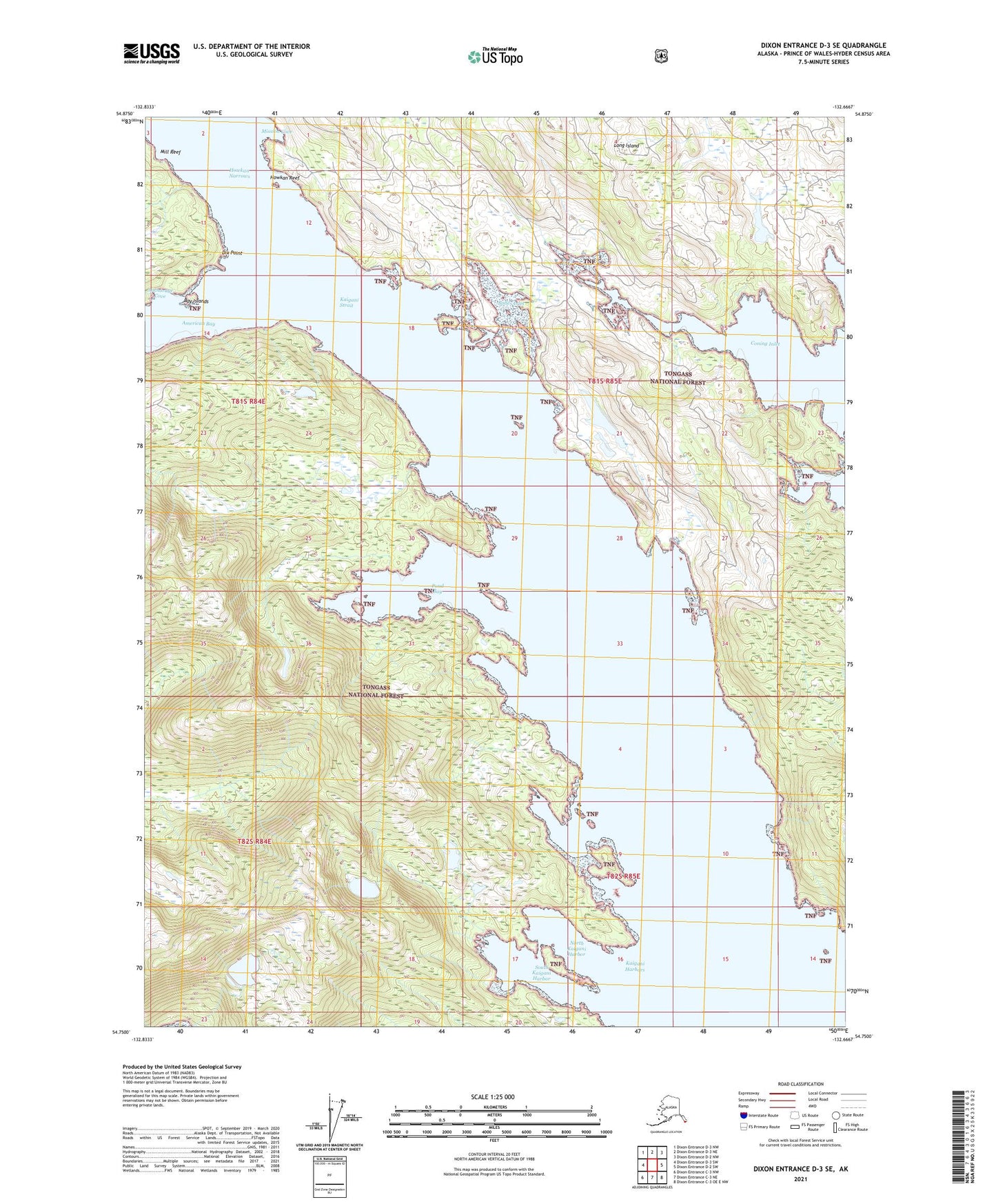
Dixon Entrance D-3 SE Alaska US Topo Map
Couldn't load pickup availability
2021 topographic map quadrangle Dixon Entrance D-3 SE in the state of Alaska. Scale: 1:25000. Print Size: 24" x 29"
Based on the newly updated USGS 7.5' US Topo series, this map has UTM / MGRS grids and is in the following counties: Prince of Wales-Hyder (CA).
The map contains contour data, water features, and other items you are used to seeing on U.S. Geological Survey maps, but also has updated roads and other features. This is the next generation of topographic maps. Printed on high-quality waterproof paper with UV fade-resistant inks.
Contains the following named places: Lake Seclusion, South Kaigani Harbor, American Bay, Anchorage Cove, Bay Islands, Bolles Inlet, Dix Point, Howkan (historical), Howkan Narrows, Kaigani Strait, Koianglas (historical), Long Island, Mission Cove, North Kaigani Harbor, Pond Bay, Howkan Reef, Jackson Mission (historical), Kaigani Harbors, Mill Reef