MyTopo
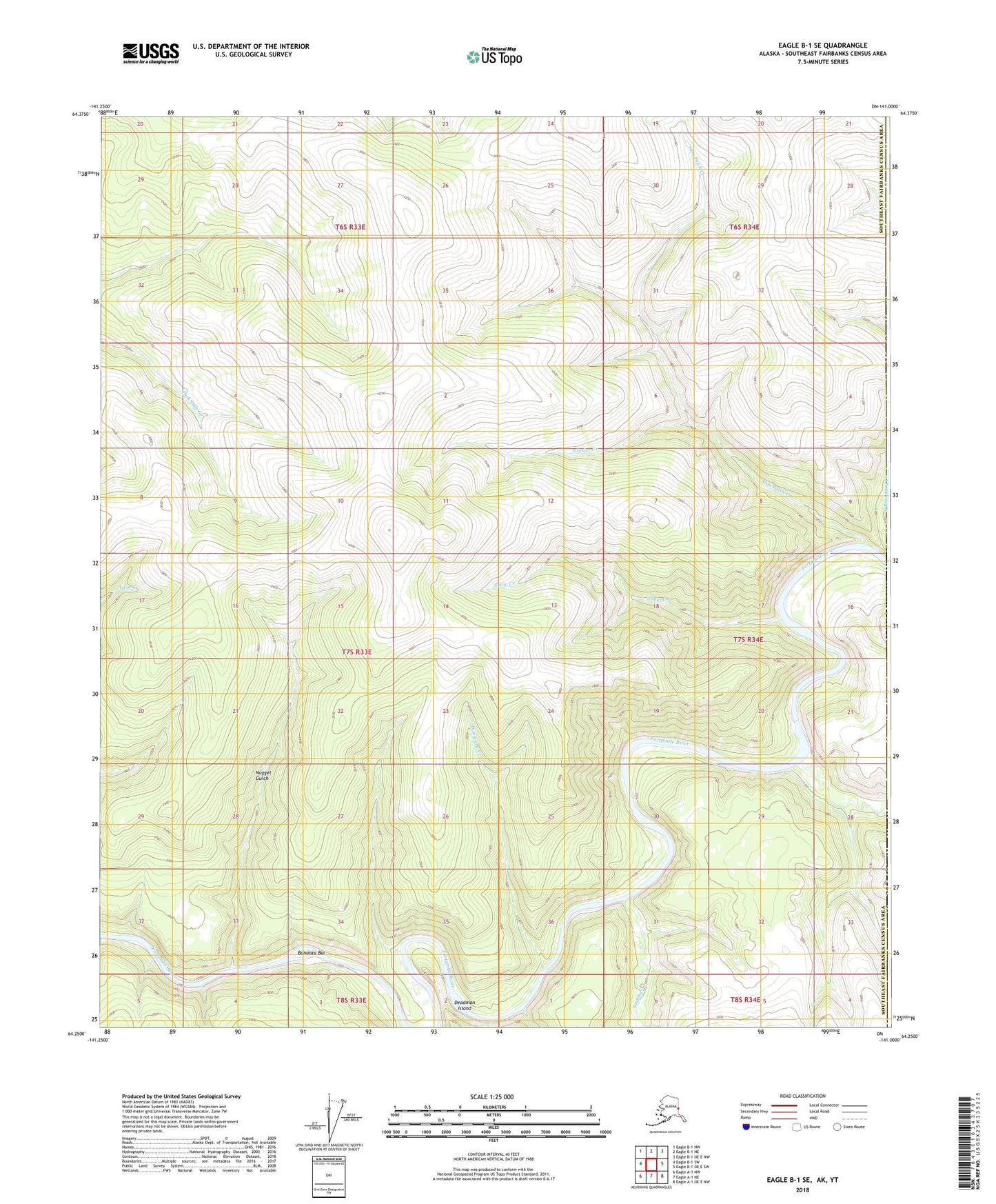
Eagle B-1 SE Alaska US Topo Map
Couldn't load pickup availability
2018 topographic map quadrangle Eagle B-1 SE in the state of Alaska. Scale: 1:25000. Print Size: 24" x 29"
Based on the newly updated USGS 7.5' US Topo series, this map has UTM / MGRS grids and is in the following counties: Southeast Fairbanks (CA).
The map contains contour data, water features, and other items you are used to seeing on U.S. Geological Survey maps, but also has updated roads and other features. This is the next generation of topographic maps. Printed on high-quality waterproof paper with UV fade-resistant inks.
Contains the following named places: Alma Creek, Bonanza Bar, Deadman Island, Discovery Creek, Moose Creek, Nugget Gulch, Sam Patch Creek, Smith Creek, Snow Creek, South Boundary Creek, Glasier Creek