MyTopo
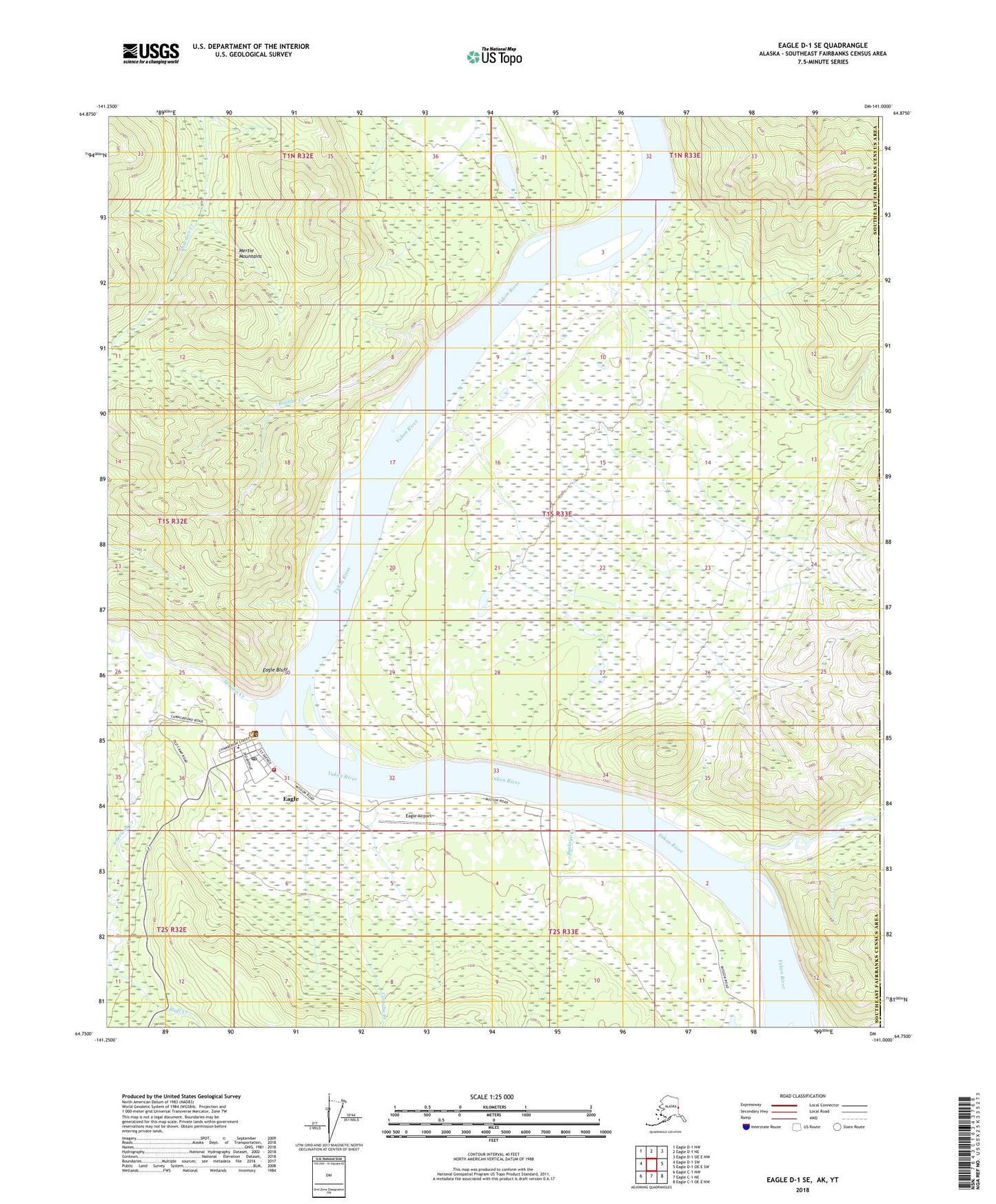
Eagle D-1 SE Alaska US Topo Map
Couldn't load pickup availability
2018 topographic map quadrangle Eagle D-1 SE in the state of Alaska. Scale: 1:25000. Print Size: 24" x 29"
Based on the newly updated USGS 7.5' US Topo series, this map has UTM / MGRS grids and is in the following counties: Southeast Fairbanks (CA).
The map contains contour data, water features, and other items you are used to seeing on U.S. Geological Survey maps, but also has updated roads and other features. This is the next generation of topographic maps. Printed on high-quality waterproof paper with UV fade-resistant inks.
Contains the following named places: American Creek, Bluff Creek, Boulder Creek, Buckeye Creek, Castalia Creek, Eagle, Eagle Bluff, Eagle Creek, Eagle Village, Last Chance Creek, Mission Creek, Eagle Airport, City of Eagle, Eagle Historic District, Eagle Volunteer Fire Department, Eagle Historic District, Fort Egbert (historical), Tanana Chiefs Conference Eagle Village Health Clinic, Eagle Emergency Medical Services, Eagle Post Office, Eagle Village Council Village Public Safety