MyTopo
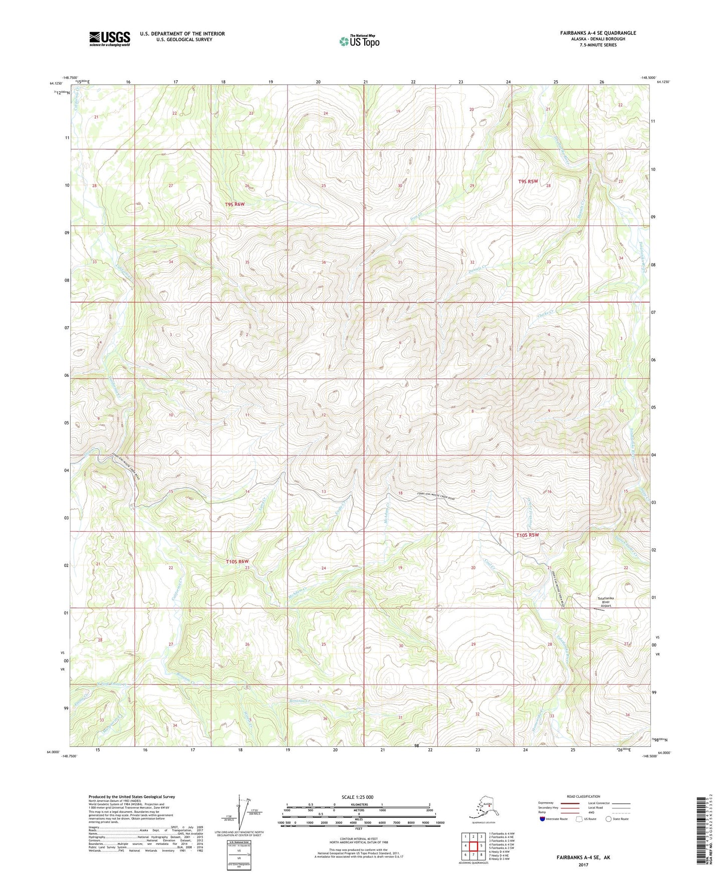
Fairbanks A-4 SE Alaska US Topo Map
Couldn't load pickup availability
2017 topographic map quadrangle Fairbanks A-4 SE in the state of Alaska. Scale: 1:25000. Print Size: 24" x 29"
Based on the newly updated USGS 7.5' US Topo series, this map has UTM / MGRS grids and is in the following counties: Denali.
The map contains contour data, water features, and other items you are used to seeing on U.S. Geological Survey maps, but also has updated roads and other features. This is the next generation of topographic maps. Printed on high-quality waterproof paper with UV fade-resistant inks.
Contains the following named places: Bonanza Creek, Buzzard Creek, Coal Creek, Daniels Creek, Eagle Creek, Elsie Creek, Emma Creek, Eva Creek, Fourth of July Creek, Homestake Creek, Lynx Creek, Marguerite Creek, McAdam Creek, Saint Charles Creek, Steep Creek, Winter Creek, Totatlanika River Airport, North Fork Emma Creek, Clarke Creek