MyTopo
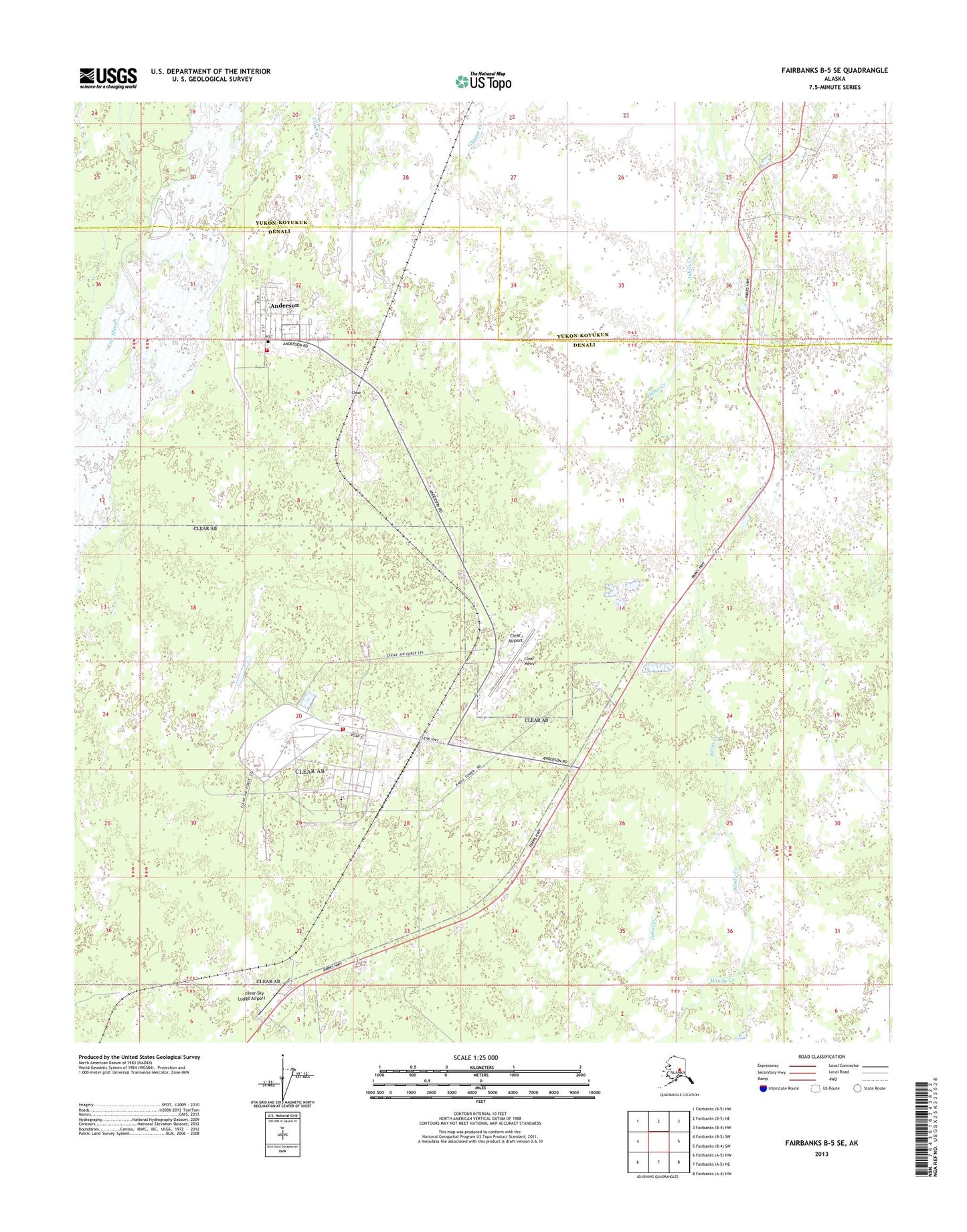
Fairbanks B-5 SE Alaska US Topo Map
Couldn't load pickup availability
2013 topographic map quadrangle Fairbanks B-5 SE in the state of Alaska. Scale: 1:25000. Print Size: 24" x 29"
Based on the newly updated USGS 7.5' US Topo series, this map has UTM / MGRS grids and is in the following counties: Denali, Yukon-Koyukuk (CA).
The map contains contour data, water features, and other items you are used to seeing on U.S. Geological Survey maps, but also has updated roads and other features. This is the next generation of topographic maps. Printed on high-quality waterproof paper with UV fade-resistant inks.
Contains the following named places: Anderson, Clear, Clear Mews, Windy Creek, Clear Airport, Clear Sky Lodge Airport, City of Anderson, Clear Air Force Station, Anderson Volunteer Fire Department and Emergency Medical Services, Clear Air Force Station Fire and Emergency Medical Services, Anderson Post Office, Clear Post Office